Download
1 / 22
220 likes | 233 Views
Drainage Analysis Using DEM from Different Sources. Larry W. Teng Center for Space Research, UT-Austin teng@csr.utexas.edu. Components. Exercise 5 and Exercise 4 in GIS class. Stream network using NHD. Drainage line processing using DEMs. Data sources and processing. Research work at CSR.

E N D
Drainage Analysis Using DEM from Different Sources Larry W. Teng Center for Space Research, UT-Austin teng@csr.utexas.edu
Components • Exercise 5 and Exercise 4 in GIS class. • Stream network using NHD. • Drainage line processing using DEMs. • Data sources and processing. • Research work at CSR. • Data fusion. • Remove vegetation from DEMs.
DEM Sources • Topographic maps • NED (1arcsec) resampled to 30m • Radar Interferometry • SRTM (1arcsec) resampled to 30m • TOPSAR (10m) • LIDAR (Laser Altimetry) • LIDAR (1.25m) resampled to 5m • Integrated DEM at 5m
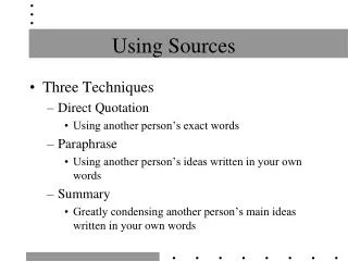
Data Fusion • “Data fusion is the seamless integration of data from disparate sources.” ~ NOAA National Data Center. • Each technique has strengths and weaknesses. Data fusion tries to extract the advantages from each source to optimize the integrated result. • Update existing optimized data with the newly developed techniques.
Multiscale Algorithm • Fine-to-coarse process • Bring details to coarser level. • Compare noises at finer level to coarser level. • Coarse-to-fine process • Reconstruct the details at the finer level with the broader view at the coarser level.
Sequential Data Fusion • ERS DEM at 20m and three TOPSAR DEMs at 5m. • Suppose the TOPSARs are acquired in different time, this demonstration shows that the updating using multiscale algorithm results in lower uncertainty in the final estimates.
Works to do… • Overcome the computational expense in computing drainage lines using the five-meter LIDAR DEM and fused DEM. • Evaluate the drainage networks generated by the fused data. • Integrate the drainage networks generated by the different DEMs.
Summary • Drainage lines generated from different DEM can be quite different. • Coarse DEM results in inaccurate drainage lines. • Artifacts in a fine DEM brings errors in resulting stream networks. • Integrated DEM can be a solution to compromise among different DEM data.
Future Works • Removing vegetation and artifacts on the DEM to obtain a better flow accumulation map. • Removing unwanted artifacts in the stream networks.