Download
1 / 15
150 likes | 309 Views
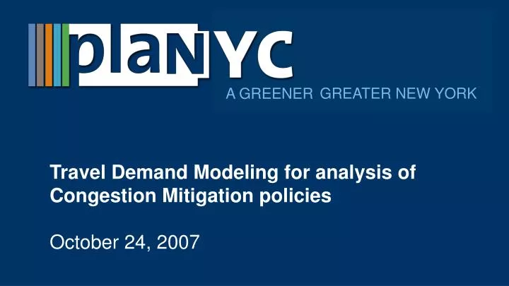
GREATER NEW YORK. A GREENER . Travel Demand Modeling for analysis of Congestion Mitigation policies October 24, 2007. Analyzing congestion mitigation measures. How would alternative policies impact: Amount of driving in Manhattan (both trips and VMT)? Mode shift of drivers to transit?

E N D
GREATER NEW YORK A GREENER Travel Demand Modeling for analysis of Congestion Mitigation policies October 24, 2007
Analyzing congestion mitigation measures • How would alternative policies impact: • Amount of driving in Manhattan (both trips and VMT)? • Mode shift of drivers to transit? • Air quality? • Revenue available for transit capital expansion?
Analyzing congestion mitigation measures • Only a regional travel demand model like NYMTC’s Best Practices Model (BPM) can answer these questions • Regional Travel Demand Models: Show how regional traffic and transit flows respond to changing land use, infrastructure and toll policy conditions. • Modeling tools commonly used in EIS and site-specific studies • Microsimulations: Show how a fixed amount of traffic flows through a corridor or network. • Intersection level analyses: Show the detailed operation of individual intersections.
Best Practice Model (BPM) Development • Developed by New York Metropolitan Transportation Council (NYMTC), the metropolitan planning organization, to meet the federal requirements for long-range planning. • Air quality conformity analysis • Modeling impact of major infrastructure projects such as: • Tappan Zee Bridge and I-287 Corridor Study • Goethals Bridge Modernization DEIS
History of BPM • 28 counties in New York, New Jersey and Connecticut • Model released 2002, updated 2005 • State-of-the-art travel model • Only travel model in NY region
Key inputs • Highways • Arterial streets • Transit • 4,000 zones for trip origins and destinations
Key inputs • 2005 population and employment by zone • 2005 transit network • Tolls and fares and other travel costs • Travel diary survey • 11,264 households • 27,369 persons • 90,764 trips
BPM structure and processes • Populates each zone with households and jobs • Based on: • 2005 population and employment
BPM structure and processes • Creates daily “tours” and time period for each trip within the tour • Purposes: • Work • University • School • Household maintenance (errands) • Discretionary activities (leisure) • Work-based (meetings, etc) • Based on: • Household characteristics (age, income, car ownership, etc.) • Employment levels • School enrollment • Travel diary survey • Time periods: • AM Peak (6am-10am) • Midday (10am-4pm) • PM Peak (4pm-8pm) • Night (8pm-6am)
BPM structure and processes • Determines destinations for each tour • Based on: • Employment locations • Other destinations (shopping, etc.) • Travel time, fares, congestion, tolls involved in reaching each destination
BPM structure and processes • Determines mode for each leg of tour • SOV • HOV2, HOV3, HOV4+ • Walk to transit • Drive to transit • Based on: • Transit service levels • Fares, tolls, parking and other driving costs • Travel diary survey • Walk to commuter rail • Drive to commuter rail • Taxi • School bus • Non-motorized
BPM structure and processes • Determines route • Based on: • Transit frequency • Travel time • Congestion
BPM outputs • County-to-county trip flows • Trip purpose • Time of day • Mode • Traffic speeds and vehicle miles traveled (VMT) • Air quality based on changes in vehicle volumes • Results validated to: • Ground counts of traffic volumes • Transit ridership
BPM outputs • 6.3% reduction in vehicle miles traveled (VMT) in charging zone • 7.2% increase in speeds in zone • 11.3% reduction in vehicle trips entering the charging zone • 6% -12% reduction in key pollutants and greenhouse gases