Download
1 / 28
300 likes | 348 Views
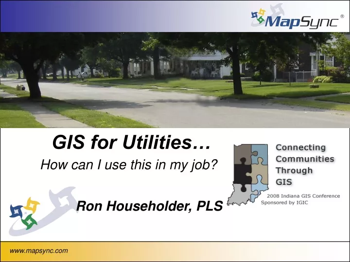
GIS for Utilities…. How can I use this in my job?. Ron Householder, PLS. GIS is…. A powerful set of tools for collecting, sorting, retrieving at will, transforming, and displaying spatial data from the real world for a particular set of purposes

E N D
GIS for Utilities… How can I use this in my job? Ron Householder, PLS www.mapsync.com
GIS is…. A powerful set of tools for collecting, sorting, retrieving at will, transforming, and displaying spatial data from the real world for a particular set of purposes Source Huxhold, An Intro to Urban GIS, 1991 quoting Borrugh www.mapsync.com
GIS is…. ID Name 8 Main Street Organized collection of computer hardware, software, and geographic data designed to efficiently capture, store, integrate, update, manipulate, analyze, create, and display all forms of geographically referenced information. A GIS! Hardcopy Map Tabular Data www.mapsync.com
GIS Past... • Accessible on large computer networks • Only select few knew how to get information • Costly • Few Data Sources www.mapsync.com
GIS Today... • Flexible – Network, Desktop, Laptop, PDA • Easy of use; Incorporate into daily work flow • Several free/low cost • data sets to use www.mapsync.com
GIS is…. A Smart Map www.mapsync.com
Kinds of jobs that are performed at a Utility www.mapsync.com
Billing…. • Print out bills • Water Usage • Water Shut offs for non payment www.mapsync.com
Maintenance • New Construction • Inspection of assets • Repairs of broken assets • Shut off service • Meter Change-out www.mapsync.com
Engineering • New Construction • Modeling www.mapsync.com
Customer Service • Complaints • Inform customers of new projects • Usage • Advisories www.mapsync.com
Other Data…. • GPS Data • Video • Pictures • Field Inspection Reports • Remote Monitoring Data www.mapsync.com
Making it come together… To make the points, lines and polygons be intelligent, a common link has to be created www.mapsync.com
Making it come together… Unique Identifer Fire Hydrant ID 801231 Information Table www.mapsync.com
Making it come together… Unique Identifer Fire Hydrant ID 801231 Information Table www.mapsync.com www.mapsync.com
A Smarter Map… Show me the complaints in this subdivision. www.mapsync.com
A Smarter Map… Show me the customer complaints related to taste (yellow) and odor (red) in Moorfield Subdivision www.mapsync.com
Field Inspection Data… Field Videos Field Notes Field Photos www.mapsync.com
Field Inspection Data… www.mapsync.com
Field Inspection Data… www.mapsync.com
Field Inspection Data… www.mapsync.com
Customer Service… Capital Improvement Project Information Customer Complaint Information www.mapsync.com
Engineering… Model of System Same Information, but viewed differently www.mapsync.com
Billing… Disconnects to Service www.mapsync.com
Engineering/SCADA… TANKS LOW www.mapsync.com
Billing… Water Usage
GIS Future… • Mobile Devices • Real Time Information • RF/GPS Integration www.mapsync.com
Summary… • Power in Integration • Work Flow Orientation • Questions? www.mapsync.com