Download
1 / 2
20 likes | 135 Views
Bentley Geospatial - What Users Say. “ Bentley's suite of various water distribution methods is a tool in the hands of water supply engineers to combat likely eventualities and disasters. ” – Maharashtra Jeevan Pradhikaran. Situation

E N D
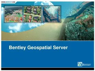
Bentley Geospatial - What Users Say “Bentley's suite of various water distribution methods is a tool in the hands of water supply engineers to combat likely eventualities and disasters.” – Maharashtra Jeevan Pradhikaran
Situation Mumbai metropolitan with 32 million inhabitants in 4355 sq km area with 14 independent water works City is prone to man-made and natural disasters such as floods that lead to disruption of water supply Design interconnected water supply system to meet the deficit that arises due to failure of water works during a disaster. The project cost US$25 million. Maharashtra Jeevan Pradhikaran Return on Investment • Time savings of about 1 year in the design of the disaster mitigation system • Savings of US$2 million from system design and analysis • Complex hydraulic simulation and analysis made easy with intuitive visualization • Management tool developed to analyze disaster and proactively plan for mitigation Solution • Implemented WaterCAD, Darwin Calibrator, Darwin Designer, and SewerCAD • Preparation of base map of city with water supply system and hydraulic model of individual water supply systems • Calibration and feasibility study of the water supply systems • Identify, simulate, and analyze remedies for disaster possibilities and scenarios BE Awards 2006 Geospatial Public Works - Winner