Download
1 / 27
270 likes | 488 Views
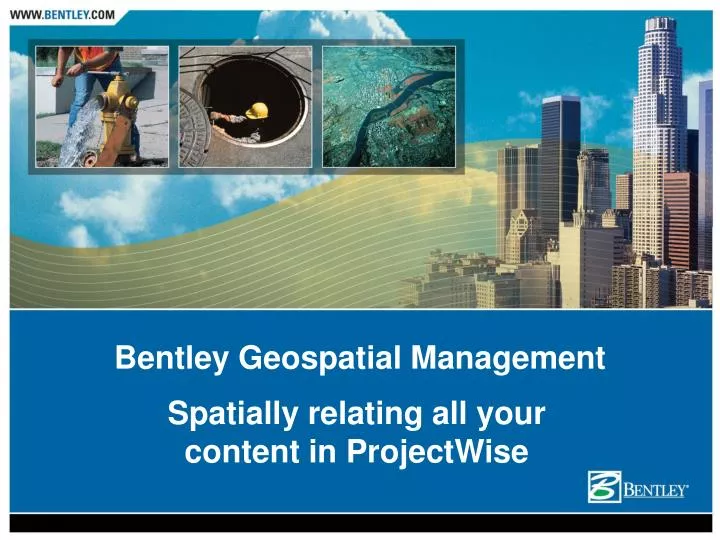
Spatially relating all your content in ProjectWise. Bentley Geospatial Management. Presentation Overview. What is Bentley Geospatial Management? Where is it used? Key Features Is it Right for You? Key Benefits Implementation User Case Study. Bentley Geospatial Management.

E N D
Spatially relating all your content in ProjectWise Bentley Geospatial Management
Presentation Overview • What is Bentley Geospatial Management? • Where is it used? • Key Features • Is it Right for You? • Key Benefits • Implementation • User Case Study
Bentley Geospatial Management • ProjectWise is a system of collaboration servers that enables distributed enterprises and related organizations to manage, find, and share virtually any kind of information • Geospatial Management is an extension to the ProjectWise environment that adds spatial context to the information • Information is depicted on scalable background maps to facilitate easy navigation and quickly find information that is spatially related
Where is it Used? By all types of organizations who manage infrastructure: • Utilities • Communications Providers • Rail Providers • Energy companies • Engineering Design Firms • All levels of Government
Key Features • A New Approach to Managing Information • Manage Virtually Any Kind of Information • All the Power of ProjectWise V8 XM Edition • Workflow and Change Management • Geospatial Views in ProjectWise • Intuitive Spatial Navigation • Spatially Indexing Files and Document • Spatially Indexing Feature or Components • ESRI ArcMap Integration • Background Maps and Integrated Coordinate System Support
A New Approach to Managing Information • Index rather than convert information • Keep the richness and meaning of your information in your favorite formats (no conversion) • Find information via spatial or non-spatial criteria • View/Edit using your favorite viewing and editing tools, Applications can be launched directly from the map interface • Manage, index, edit, and print or plot
Manage Virtually Any Kind of Information • Graphical files • Geospatial Extension, Bentley Map • DGN files, DWG files • ESRI • Complex files • References in MicroStation • MXD and SHP in ArcMap • Non graphical documents • PDF • MS Office • Others • Relational Databases
All the Power of ProjectWise V8 XM Edition • Project Templates • Distributed DGNs • Audit Trail • Messaging • Workflow Management • Lifecycle Management • Web functionality • Change Management • Access Rights • Digital Security • Collaboration • Managed Workspaces • And much more!
Workflow and Change Management • Manage content lifecycles from creation through approval • Define states, user roles, and valid workflows via ordered milestones • Version Management • Detailed Audit Trail for Documents and Folders
Geospatial Views in ProjectWise • Create your own dynamic symbology based on document properties • Spatial navigation interface supports transparency, layering, legends, and icon/bitmap representation • Create your own dynamic symbology based on document or file properties • Customize the map view to reflect any combination of color and translucency for document display. • Spatial navigation interface supports transparency, layering, legends, and icon/bitmap representation
Intuitive Spatial Navigation • Spatial Navigation from background maps • View and spatially navigate documents and folders • Multiple documents occupying the same location are easily managed via the map interface. • Select and access all ProjectWise menus from the spatial view
Spatially Indexing Files and Documents • Spatially index any document type, including PDF, Microsoft Office • Location is automatically deduced for files with inherent coordinate systems • Documents can inherit the location of their folder • Administrators can use a map-based interface to define locations
Spatial Indexing Features or Components • Index and navigate the features in XFM DGN files • Features are depicted on the background maps for visual location • Features may also be navigated via the list view • Find and review the feature properties without opening the associated DGN
ESRI ArcMap Integration • ESRI ArcMap iDesktop integration • ESRI file format support for MXD, MXT, SHP, BIL, and BIP • Automatic spatial reference upon adding them to the ProjectWise store • Manages the relationship between the ArcMap project file and its content • Adds ProjectWise tools into ArcMap
Background Maps • Map-creation assistant • Scale-based map navigation on a per-project, directory, or vault basis • Dynamically published background maps from DGN
Integrated Coordinate System Support • Content is indexed to a universal coordinate system while preserving their original system • Enables searching across boundaries of different coordinate systems • Create customized coordinate systems • Document/File footprints are reprojected on the fly • Includes a comprehensive library of over 4,000 coordinate systems
Is Geospatial Management Right for You? To see if Bentley Geospatial Management is right for you, ask yourself these questions. If you answer YES to any of the following questions, Bentley Geospatial Management is right for you. • Is the information you work with related to a geographic location or area? • Is it difficult to findand assimilate all the information you need for a particular task? • Do you wish you could find all content without delay? • Is the data you need found in a variety of forms and locations? • Do you need to manage documents, database information, images, and data created by Bentley, Autodesk, ESRI, MS Office, and Adobe applications?
Is Geospatial Management Right for You? • Do you work across a portfolio of projects? • Do you need to implement workflow and change management? • Is team performance a prerequisite for productivity? • Could you benefit from faster project start-up times? • Do you often need to reuse content? • Are project standards important to project quality?
Key Benefits • Provide your organization with a competitive edge through quick, intuitive access to all the information needed to support mission critical decisions • Find features and text quickly regardless of the format of the source documents • Display thousands of files or documents and their content (features, text) on a map using workflow oriented tree structure • Create, manage, and publishthe content to achieve your business goals • Bring control and consistency to business processes by individuals, across project teams and departments • Save time and money - Index rather than convert documents and files to preserve the richness and detail of the original information
A Full-Service Solution Bentley SELECT • A comprehensive technology and service subscription program that includes: • flexible subscription options • exclusive licensing privileges • continuous product upgrades • comprehensive technical support • discounts on training and software, and more. • Training • Professional training programs that are designed to increase the productivity of all professionals.
Bentley Professional Services Experts in Information Management that help organizations make the best use of people and technology • Business Process Consulting – matching business goals to workflows and systems • Solution Implementation – customizing and implementing solutions that are on-time and effective • System Integration – connecting engineering and enterprise information and systems
U S Army Corps of EngineersInteragency Performance Evaluation Taskforce Objective: • Assemble a comprehensive set of data and information about the conditions before and after Hurricane Katrina, as well as a complete history of the construction and maintenance of the projects Fast facts: • The data repository has three main components: • unstructured data in SQL Server • GIS data in an Oracle SDO database registered through ArcSDE • large data sets such as Lidar and elevation models stored on a terabyte server with metadata and geospatial extents stored in Oracle SDO • The ProjectWise software provides the overall data management functionality by integrating the data stored in the three components such that users may access all datasets from one central application without having to know which data is stored in which component. “We were able to effectively and efficiently store and manage thousands of documents/datasets in multiple formats and the metadata associated with that data. The managed environment provided by Bentley’s ProjectWise was instrumental in meeting the time constraints and volume of engineering and scientific data required by the IPET. “
Federated Information Management Project: • Geospatial Index to E&P Information • Total E&P Nederland B.V. Objectives: • Quickly identify and access geospatial documents in order to reduce time required to make decisions and ensure that all relevant information has been considered Fast facts: • Users can now quickly find all documents relating to a particular geographical area simply by clicking on a map. • Time to locate all documents needed has been reduced from a day or more to minutes. “Today, the users can search amongst tens of thousands of documents with an intuitive Web application. Entering a few keywords and clicking on a location on a map is enough to find and review all of the documents that relate to the decision process.” Huub Streng Project Manager Total E&P
Capitalizing on Workflow Project: • S.I.T. Project (Systema Informativo Territoriale) • AEM Torino Objectives: • Use a central data store to help meet customer needs more effectively • Information Management via Bentley Geospatial Management, ProjectWise, and Oracle Spatial • Improve production processes to offer new and improved services to customers • Allow company personnel to retrieve customer information linked to the graphical representation of the network • Publish data across the Internet and intranets, reducing paper documentation Fast facts: • One of Italy’s largest multi-utilities, serving the 900K residents of Turin • Market forces required them to reduce costs, achieve operational excellence, and provide superior service at fair prices • Created single-model solution for each of their networks: electricity, district heating, gas services and optical fiber resulting in: • 20-30% savings in network design time • an efficiency increase of 200% for external data delivery • virtually eliminating printing and distribution of paper maps
Managed Environment for Transportation Project: • Archive Plan Conversion • Kentucky Transporation Cabinet Objectives: • Management of a converted microfilm archive of more than 400,000 cards • Project focus is on Customer Service, making information available over the web Fast facts: • Project data in MicroStation, ESRI, TIFF, and PDF formats • Users navigate via spatial project location boundaries or query • Previously manual search took hours/days and required travel to the appropriate KYTC office to access archives • New approach enables customers to search, retrieve, and print in less than 10 minutes
Enabling ProjectWise Users with the Power of Place Bentley Geospatial Management