Download
1 / 12
120 likes | 224 Views
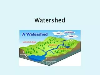
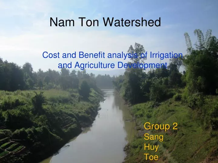
Nam Ton Watershed. Cost and Benefit analysis of Irrigation and Agriculture Development. Group 2 Sang Huy Toe. Layout. Introduction Background Singthong District Hinherb District. Introduction.

E N D
Nam Ton Watershed Cost and Benefit analysis of Irrigation and Agriculture Development Group 2 Sang Huy Toe
Layout • Introduction • Background • Singthong District • Hinherb District
Introduction The purpose of the presentation is to show the real situation of watershed implementation in Sangthom and Hinherb provinces and to show the cost and benefit of this watershed project
Background • KfW, GIZ, LMNC, and MRC support the project • project duration is 2010 to 2017 ( 7 years ) • project start from 10/2011 • project have two portion • ( part 1 – cover all project measures within the project • area by Lao Government and the local people ) • ( part 2 – MRC facilitates regional water resources • development and pilots replicable development solutions
Background (Cont’) • Nom Tom Watershed is part of the lower Mekong Basin and • direct tributary to the Mekong River • the project area comprises of 43 villages in Hinheup and • Sangthong districts • project area is 80,000 ha • total population is 32,000 • propose irrigation site, 8 ( 1, rehabilitation and 7 new )
Sangthong District • Background • Area: 76000 Km2 • 5 Kum Ban • Forest: 38700 h • Population: 29079 (F = 14344) • 75% is farmer • Agricultural area: 29000 h • Rain fed area: 7635 h • Yield product: 4.15T/h (rain feed) • 4.36T/h (irrigated) • Main income: rice growing and aquaculture
The On Going Issue • District propose to the project on supporting for gate • construction at the mouth of Nam Ton river • The dam will protect the upstream from flood meanwhile • it also block fish from travelling from Mekong River to • Nam Ton river • Shifting cultivation • Soil degradation • Deforestation
New Sluice gate above junction • prevent entering water from • Mekong River in high • water season • can be used to control flood • can be used to irrigate rice field • in dry season • Block fish migration
Recommendation • To ensure the sustainability of fish caught in this area, • in the designing phase of water gate/dam, the fish ladder/ • fish stair should carefully design • Shifting cultivation • Plan rotation, and • Perennial tree Fish Ladder
Hinherb District • Background • Flat land: 10% • Mountainous: 90% • Population: 5900 • Irrigated area: 14ha • Yield production: 2.8T/Ha • Main income: rice plantation
The On Going Issue • Lack of irrigation system • Erosion is continue on the poor existing irrigation system • Upland agriculture system by applying water harvesting onto • the mountainous area (forest conservation should also • consider) • 5 potential irrigation system are propose Recommendation & Solution
THNAK YOU FOR YOUR ATTENTION THANK YOU FOR YOUR ATTENTION