Download
1 / 12
120 likes | 260 Views
JRC needs for a database on historic floods Ad de Roo, José I. Barredo Expert meeting on hazard/disaster data: EU flood Information CRED - 19 May 2011, Brussels. For what reasons JRC needs historic data.

E N D
JRC needs for a database on historic floods Ad de Roo, José I. Barredo Expert meeting on hazard/disaster data: EU flood Information CRED - 19 May 2011, Brussels
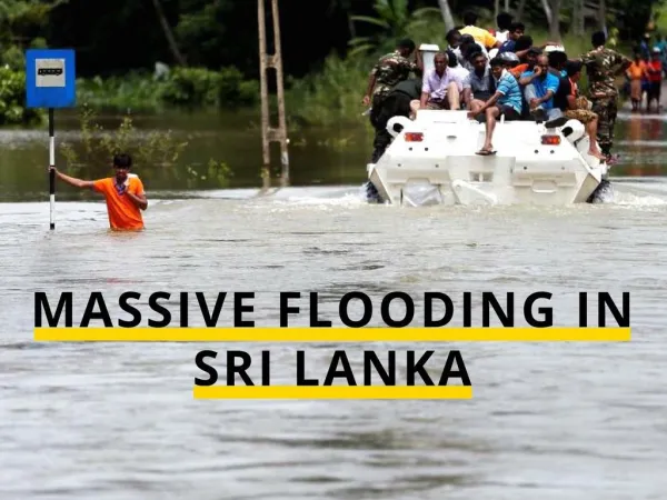
For what reasons JRC needs historic data JRC is collaborating with EEA and supporting them in providing pan-European overviews and analysis of historic floods, e.g. EEA report: Mapping the Impact of Recent Natural and Technological Disasters in Europe; An overview of the last decade (Flood chapter written by JRC, Barredo) A good quality database of historic floods is essential for this analysis JRC has developed methods for flood risk and damage mapping, including affected population and economic losses, which are also used in the pan-European climate change research The Climate change / Policy change / Land Use change / Water & disasters research is the current core of the work of JRC A good quality database of historic floods is essential for testing and validation of these methods at pan-European level
Work of JRC on floods / water quantity • Clients: – COM: ENV, ECHO, ENTR, REGIO, CLIMA, AGRI, MARKT – Other: EEA, ICPDR (Danube), IKSE/ICPER (Elbe) • European Flood Alert System: early warning on river floods – Incl realtime collection of river flow data • Scenario studies on flood prevention measures: – Oder commission (2002), Elbe commission (2008), ENV Blueprint retention measures study (ongoing) • Historic floods analysis – Using EM-DAT (CRED) • Flood hazard and risk mapping • Land use changes and consequences for hazards • Climate changes and consequences for water hazards
Water depth – damage database Convert flood hazard into damage based on land use data and flood depth damage functions
Climate change effects on river floods (summary of 8 scenarios)
Mitigation of (Future) Flood Risk - Forecasting and early warning: European Flood Alert System - Land use change scenario analysis - Potential benefits of flood mitigation
GMES Initial Operation: Emergency Management Services • Funded by COM-ENTR-GMES (2011-2013) – Coordinated by COM-ECHO-MIC • Procurement coordinated by COM-JRC • Two components – Mapping • Rapid mapping during/after disasters, upon request by organisations that have the mandate to request this (COM-MIC, MS, WFP etc) – As currently done in the SAFER project – Starting 2012: open procurement (framework contract) » NB: this rapid mapping could be used for direct inclusion in the floods database » However, products might not have been taken at the peaktime of the flood (depends on satellite overpass) – Early Warning Systems • European Flood Alert System – Until now done by and at JRC with collaborations from ECMWF, DWD, MS – Starting 2012: to be fully outsourced » MIC funding phased ‘out’, GMES funding phased ‘in’