Download
1 / 15
150 likes | 263 Views
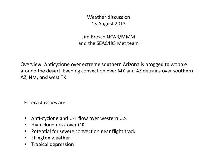
Weather discussion 15 August 2013 Jim Bresch NCAR/MMM and the SEAC4RS Met team. Overview: Anticyclone over extreme southern Arizona is progged to wobble around the desert. Evening convection over MX and AZ detrains over southern AZ, NM, and west TX. Forecast issues are:.

E N D
Weather discussion 15 August 2013 Jim Bresch NCAR/MMM and the SEAC4RS Met team Overview: Anticyclone over extreme southern Arizona is progged to wobble around the desert. Evening convection over MX and AZ detrains over southern AZ, NM, and west TX. Forecast issues are: • Anti-cyclone and U-T flow over western U.S. • High cloudiness over OK • Potential for severe convection near flight track • Ellington weather • Tropical depression
500 hPa anticyclone over AZ with a sharp trough off the west coast and a short wave moving south across the Great Plains. A closed circulation emerges off the west coast of Yucatan.
200 mb PV 150 mb streamlines A-C centered south of Tucson, AZ. Monsoon outflow confined over a very small area mostly over Mexico, but also over southern AZ, NM and west TX.
200 mb circulation center over northern MX. Closed circulation is quite confined.
Overnight MCS moves south across KS/OK during day on Friday. NAM predicts clearing by 00z. SPC expects convection to regenerate during Friday afternoon. Possible severe storms over E NM/ W TX.
For Monday, the EC maintains ridge over central U.S. and trough in the east. Monsoon convection over the plateau and rains in the SEUS.
Yesterday, 1 PM Today, noon Convection has declined as the system as interacted with the Yucatan peninsula. Disturbance forming along shear line in east central Gulf. Vertical shear will increase as the system enters the Gulf of Mexico late tomorrow.
Majority of tracks head into Mexico before Monday. One makes a bee-line to Ellington. Large spread.
Summary • Anticyclone remains over desert SW / northern Mexico. • Convective outflow expected over extreme southern AZ/NM • Tropical system in the Gulf is not developed by the global models. • Cold front has moved offshore and should be south of EFD for takeoff tomorrow. Showers continue north of the front, but should be south of EFD at takeoff time. Scattered afternoon thunderstorms for arrival.