Download
1 / 24
240 likes | 245 Views
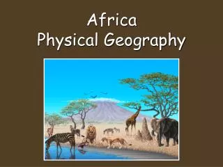
Physical Geography of Africa. The Plateau Continent. The Landforms of Africa. Mostly high plateaus & wide plains Significant mountain ranges: Atlas, Drakensberg Escarpment, mountains of Ethiopia Many rivers

E N D
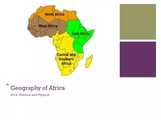
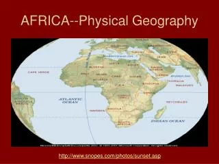
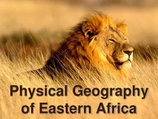
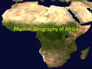
Physical Geography of Africa The Plateau Continent
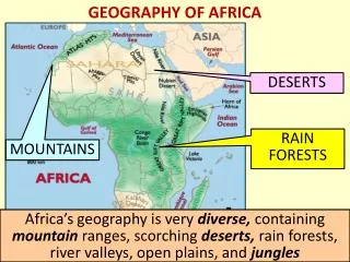
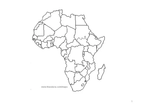
The Landforms of Africa • Mostly high plateaus & wide plains • Significant mountain ranges: Atlas, Drakensberg Escarpment, mountains of Ethiopia • Many rivers • 5 depressions (basins) on Africa’s surface more than 650 miles across & up to 5000 feet below the surrounding highlands • Basins located along southern edge of Sahara • Eastern 1/3 of Africa is highlands
How BIG is Africa? • The US would fit inside of Africa 3 times • From in East to West – 4000 mi (the same distance from Moscow to New York) • N to S – 5000 mi (from Alaska to the Panama Canal)
The physical features of Africa are largely responsible for its isolation.
The Sahara • Creates a geographical barrier • Covers an area larger than the US • Blocks travel and diffusion between northern and central Africa. • It is rocky NOT SANDY • The Sahara was not always a desert as it is now… cave paintings have been found there
There is no real road in the southern Sahara. There is a marker every kilometer (this one is 338 km from Tamanrasset); you follow the "road" by sighting the next kilometer marker and heading towards it.
Sub-Saharan Africa • Has an almost unbroken coastline with few natural harbors to promote trade and exploration. • Ships have a hard time sailing north on the Atlantic side due to winds and ocean currents from the northeast.
Rift valleys are long, deep valleys bounded by parallel faults. They form where Earth’s crust is being pulled apart. Rift valleys can appear on land or beneath bodies of water.
Hindrances to Exploration • Rivers are full of cataracts • Forests/jungles in the west • Steep escarpment in the east.
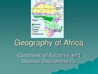
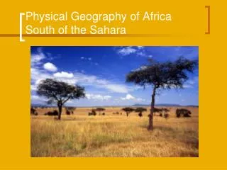
Climate and Vegetation • Humid-Tropical climates near the equator in the Congo River basin • Tropical Savanna surrounding rain forest • Drier Savannas have low, thorny trees separated by short, drought-resistant grasses (bush savannas) • Example: Sahel on southern edge of Sahara • Sahel is badly overgrazed, causing desertification
Congo jungle Male silver back Gorilla
Savannas Tropical vs Dry
South Africa Climate & Vegetation • Southern Africa lies at mid-latitudes, about same distance from equator as southern US • Many different types of climate regions • Bush savannas @ Kalahari’s eastern edge • Tall-tree savannas toward east coast • Humid-subtropical & marine west coast in SE • Mediterranean at southern tip of Africa
East & North Africa Climate & Vegetation • Africa’s highlands • From Cape of Good Hope to Ethiopia • Cooler climates than usually found at this latitude • Northern Africa along Mediterranean • Mediterranean climate
Kilimanjaro, the tallest mountain in Africa, has two volcanic peaks, spaced 7 miles apart, with the higher of the two rising 19,341 ft.
The Escarpment • 90% of Africa is a plateau (at least 500 feet above sea level at every place) • In the East the plateau rises to 5000 or 6000 ft with a steep drop to the ocean (creating an Escarpment) • In the West the Plateau slopes more slowly to sea level.
Drakensberg MountainsThe Drakensberg Mountains in eastern South Africa form part of the Great Escarpment.
Natural Challenges • Almost every year, some regions suffer from droughts while others are ruined by floods • Earthquakes & volcanic eruptions along rift valleys • Little fertile land compared w/ other areas of the world similar in size • Disease a constant threat