Download
1 / 23
230 likes | 345 Views
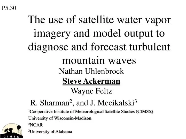
P5.30. The use of satellite water vapor imagery and model output to diagnose and forecast turbulent mountain waves. Nathan Uhlenbrock Steve Ackerman Wayne Feltz R. Sharman 2 , and J. Mecikalski 3 1 Cooperative Institute of Meteorological Satellite Studies (CIMSS)

E N D
P5.30 The use of satellite water vapor imagery and model output to diagnose and forecast turbulent mountain waves Nathan UhlenbrockSteve AckermanWayne Feltz R. Sharman2, and J. Mecikalski3 1Cooperative Institute of Meteorological Satellite Studies (CIMSS) University of Wisconsin-Madison 2NCAR 3University of Alabama
Outline of Presentation • Goals • Data used in the study • Mountain Waves in water vapor imagery • Case Studies • Conclusions and Future Work
Goal • Improve the use of satellite observations in nowcasting and short term forecasting of turbulence affecting air traffic. • One approach: Use model output and raobs to identify favorable regions of mountain wave turbulence, then use satellite observations to identify if the turbulence is present. • What do identify?
Data • Satellite • Terra and Aqua MODIS (1 km in infrared) • GOES-12 imagery • GOES ABI (2-km resolution); simulation • Pilot Reports (PIREPS) of turbulence during 2004 over the Continental Unite States • Model output from the RUC and GFS • Surface and upper air analyses and soundings
Data: Some Notes on PIREPS • PIREPS were used as a validation data set in this study to “verify” that lee waves were occurring, but there are some known issues with the data • PIREPS are subjective by nature; • a pilot can only report what he/she feels • The location of a reported turbulence event has errors because the aircraft is moving quickly, and the pilots first responsibility is safety, not data reporting • A region of turbulence will effect a Cesna 172 quite differently than a Boeing 777 due to scale factors • PIREPS can only be issued by planes in the air, so few PIREPS are issued during the late night and early morning
Mountain Waves and Satellite Imagery Cloud patterns indicate presence of mountain waves. This example is visible image over eastern United States.
Mountain waves Mountain Waves and Satellite Imagery Signature of wave activity is also found in cloud free regions in the water vapor channel. Region of study is the front range of the Rocky Mountains in Colorado, USA
Mountain waves Mountain Waves and Satellite Imagery Signature of wave activity is also found in cloud free regions in the water vapor channel. Region of study is the front range of the Rocky Mountains in Colorado, USA
Mountain Waves and Satellite Imagery • MODIS 6.7 micron imagery over CO was analyzed for each day in 2004 for wave signatures. • 89 days exhibited waves over Colorado in 2004 (about 1 out of 4 days in 2004). • The days that exhibited waves were grouped into qualitative categories dividing the waves by: • Amplitude (high/low) • Interference (some/none) • Wavelength (short/long) • Extent Downstream Categorized with turbulence reports from pilots (above 12,000 feet).
Type 5 Prominent wave events with no interference. Sept. 09, 2004
Prominent wave events with no interference Type 5 Example Sept. 09, 2004
Type 6 example Aqua MODIS water vapor image from 1950Z March 06, 2004 (Colorado)
Type 6 example Aqua MODIS water vapor image from 1950Z March 06, 2004 (Colorado)
Types 3 and 6 Aqua MODIS water vapor image from 1950Z March 06, 2004 (Colorado)
Visible imagery shows waves in cloud free region
Mar. 06 300mb flow Conditions favorable for untrapped mountain wave
What altitude, how deep? Weighting functions given a broad indication of level… 250-550mb Water Vapor (6.7 micron)
What altitude, how deep? 14.2 micron
Wave appear to propagate vertically 6.7 micron 14.2 micron
Waves appeared earlier, but no ‘interference pattern’ 6 March, 2004 0845Z 6 March, 2004 1950Z
Seen in Terra MODIS as well… 6 March, 2004 1810 (6.7 left, 11 right)
Conclusions and Future Work • There were many days with mountain waves that were not reported with moderate/severe turbulent. • The majority of moderate/severe turbulent days (as determined from PIREPS) over Colorado were due to lee waves • Days with waves exhibiting more complex patterns were also the days with the most moderate to severe PIREPS of turbulence. • Now that we know what to look for: • How to best recognize the features, • Are these signatures indications of breaking waves, interference, trapped waves?