Download
1 / 15
150 likes | 286 Views
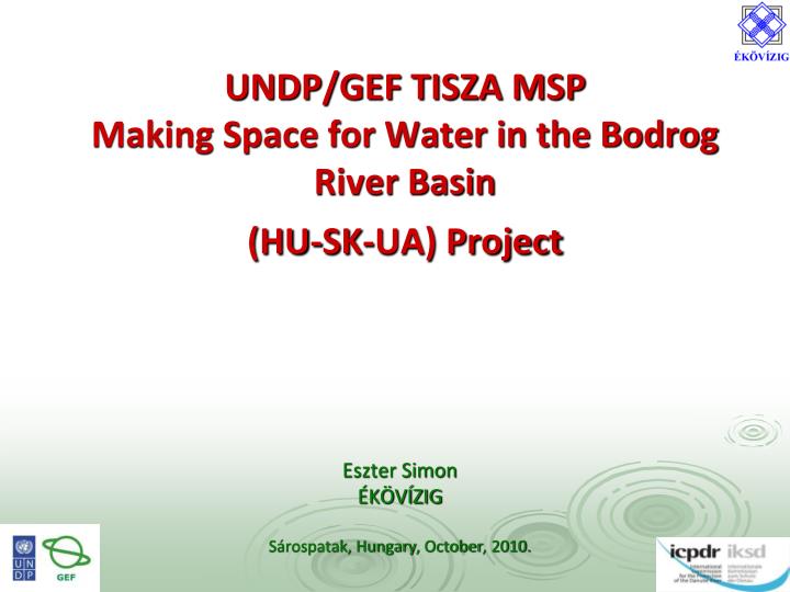
UNDP/GEF TISZA MSP Making Space for Water in the Bodrog River Basin (HU - SK - UA) Project. Eszter Simon ÉKÖVÍZIG Sárospatak, Hungary , October , 2010. Problem definition.

E N D
UNDP/GEF TISZA MSPMaking Space for Water in the Bodrog River Basin(HU-SK-UA) Project Eszter Simon ÉKÖVÍZIG Sárospatak, Hungary, October, 2010.
Problem definition The Bodrog river sub-basin, - part of Tisza catchment area –has been affected by several major flood events in the past decade in all countries which are sharing this territory (Slovakia, Hungary and Ukraine). Each country within the Tisza catchment has developed its own mitigation strategy and plan focused on flood management and flood prevention. However, there is a lack of harmonization of national strategies within Bodrog river basin and common understanding of proposed measures and activities on the cross-border scale and unsatisfactory involvement of local stakeholders (municipalities as well as NGOs).
Project objectives Main project objective→ to mitigate consequences of floods through achieving consistent and holistic management of flood risk in Bodrog river basin countries: • creating partnerships between national and local levels through the development of common “Strategy for mitigation of floods for Bodrog river basin countries”, • implementation of sustainable solutions for flood preventionthrough pilot investments. Project activities should consider - where possible - the maintenance and/or restoration of floodplains by creating “space” for water during flood events. The involvement of municipalities, NGOs, farmers, spatial and urban planning authorities is crucial. Therefore project activities will focus on establishment of the close cooperation with these stakeholders.
Outputs • Formulation of the “Strategy for mitigation of floods for Bodrog River Basin countries”. • Improving the conditions of floodplains and wetlands affected by current land uses and environmentally inappropriate flood protection measures. • Dissemination of project results to achieve replication on national levels and to other basins.
United NationsDevelopmentProgramme Global EnvironmentFacility (UNDP GEF)Supervisory body: International Committee forthe Protection of theDanube River(ICPDR) – Tisza GroupTotal budget: 128 000 USDHU budget: 55 000 USD
Total area of the Bodrogriverbasin: 11552 km2 Hungary 54 km2, Slovakia 7 272 km2, Ukraine 4 225,7 km2 River system: created from 4 main rivers - Latorica, Laborec, Uh, and Ondava HU pilot project: „Waterretention of the Viss oxbow” Total length:8,1 km Total area:48,6 ha Average width:60 m Average depth: 1,5 m Average water stored: 0,7 million m3 The oxbow was created during the river regulation works between 24+300 and 25+600 river kmsin the 1860’s. Itfills up with fresh water during flood events. Project area
Watersupplement of the Tokaj-Bodrogzug LPD • The oxbow area is neighbouring the Tokaj-Bodrogzug Landscape Protection District. • For better quality of biotopes in the LPD, there is a need to retain water inthe oxbow after floods. • This can be solved by using the Bodrogzug I. channel which is connected to the oxbow through a sluice.
What is intheplan? • to build a new structure at the 0+150 rkm of the oxbow to retain flood water from Bodrog, • to rebuild the sluiceat the 2+500 rkm of the oxbow so it would be possible to provide the Landscape Protection District with water through the BodrogzugI. channel.
Preliminary measures • Field survey • Meetings with the stakeholders (mayors, farmers, National Park) • Geodetic survey • Contracting • Preparation for the construction (cleaning the area of the structures from bushes)
Inlet channel May 2009. Sluice to be renewed May 2009. Field visit February 2010. Inlet channel May 2009.
Risks and risk management • The formal process of issuing the construction permit by the district authority can take months, it can delay the works in a significant rate. • During the implementation period flood events can cause difficulties in construction works through higher water levels and delay the finishing of the construction.
Risks and risk management • From February to June there were several floods on the Bodrog. • The project site was inaccessible, the construction couldn’t start. • The contract had to be modified, the deadline for the implementation had to be delayed.
Finishing of the constructions • The construction was finished on the 27th August. • Official delivery procedure on the 6th September.