Download
1 / 8
80 likes | 172 Views
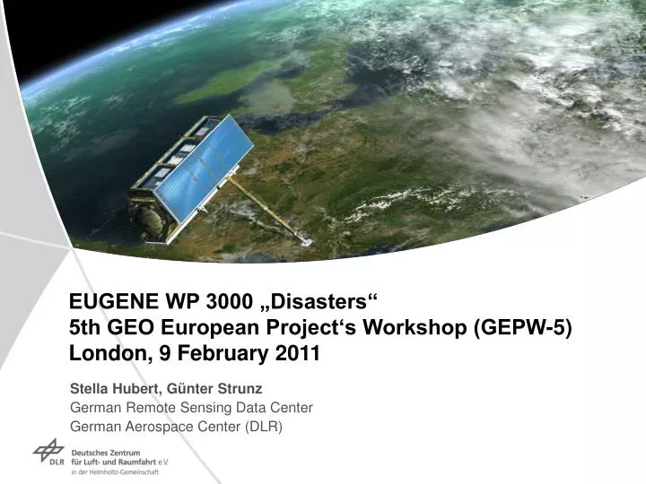
EUGENE WP 3000 „Disasters“ 5th GEO European Project‘s Workshop (GEPW-5) London, 9 February 2011. Stella Hubert, Günter Strunz German Remote Sensing Data Center German Aerospace Center (DLR). Overview. 1. Status Quo Report 2. Europe‘s Capabilities 3. Strategic Issues. Status Quo Study.

E N D
EUGENE WP 3000 „Disasters“ 5th GEO European Project‘s Workshop (GEPW-5) London, 9 February 2011 Stella Hubert, Günter Strunz German Remote Sensing Data Center German Aerospace Center (DLR)
Overview • 1. Status Quo Report • 2. Europe‘s Capabilities • 3. Strategic Issues
Status Quo Study • User Requirements • Analysis of requirements for Earth observation information relevant for disaster management derived from disaster related projects • Systems and Programmes in Europe • Description of European capabilities, including their structures/actors • Structured according to disaster management cycle… • .. and different hazard types (e.g. Floods, Severe Stroms, Earthquakes, etc.) • Overview of International Cooperations active in Disaster Management • Global initiatives as well as those ones related to specific hazards • Gaps, Challenges, Strengths and Opportunities • General issues in connection to user requirements • Hazard-specific issues
Flood- Europe Local level National/Regional level European level Global level operational service pre-operational service R&D Preparedness-Recovery Early Warning Emergency Response Projects/services Spatial Coverage Rapid Mapping PREVIEW, SAFER ERS Reference & Situation maps PREVIEW, RESPOND, SAFER ERS Plain flood risk assessment RISK-EOS, FloodSite SAFER ERS, EFAS Database (e.g. Post-event, river discharge) Database (e.g. Post-event, river discharge) EFAS, ETN-R Plain flood Early Warning Regional/National activities (e.g. NFFS) Plain flood Early Warning EFAS Plain flood Early Warning PREVIEW, RISK-EOS, SAFER ERS Flash flood Service PREVIEW, RISK-EOS SAFER ERS Vulnerability, Risk, Loss Assessment FLOODSITE, SAFER ERS Vortragstitel
Europe‘s Capabilities • Substantial European developments and contributions to GEO in the framework of GMES • GMES Emergency Response Services are being developed in the context of the EU RTD framework programmes and ESA GMES projects. Most important contributions currently provided by EU FP7 project SAFER • Future GMES Sentinel Missions will provide sustainable satellite resources for the GMES services. Data policy for Sentinel data will be based on a “free and open” access to the data, which is in compliance to the GEO free and open data sharing principle • Further European Services are provided on an operational basis e.g. • Joint Research Centre of the European Commission, such as the European Flood Alert System (EFAS) or the European Forest Fire Information System (EFFIS) • Europe is implementing the Infrastructure for Spatial Information in Europe (INSPIRE) programme to build up standards and rules for a consistent geo-data infrastructure. INSPIRE sets the legal framework and technical implementing rules, which should be a basis for the GEOSS Common Infrastructure (GCI)
Strategic Issues • The coordination of services which use Earth observation data to provide information for disaster management should be improved at global level. • Coordination of services and products in case of a major disaster • Promote quality guidelines and standards for services and products • Promote the GEO work plan by integrating European activities (e.g. FP7 projects) associated with GEO into the GEO work plan
Strategic Issues • The access to in-situ data and the integration into Disaster Management should to be facilitated. • Creation of network based on the outcome of the GISC (GEOSS in-situ coordination) project currently undertaken by European Environmental Agency (EEA) • Promote establishment of GEO task dedicated to in-situ data • The interaction and link between forecast services and emergency response services should be improved. • Establishment of direct links between services
Strategic Issues • The incorporation of INSPIRE into GEOSS Common Infrastructure (GCI) should be promoted. • Promote common geo-data infrastructure based on INSPIRE • Use network established by the FP7 Support Action GIGAS (GEOSS, INSPIRE and GMES, an Action in Support) • The establishment of a global early warning system should be promoted. • GEO to promote this work in cooperation with other initiatives such as the UN • Enlarge focus of GEO task DI-09-03 dealing with Warning Systems for Disasters