Download
1 / 36
360 likes | 466 Views
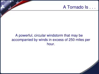
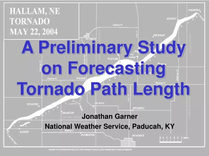
A Preliminary Study on Forecasting Tornado Path Length. Jonathan Garner National Weather Service, Paducah, KY. Motivation. High risk sitting over the region…. Motivation. …and the SPC is calling for long track violent tornadoes….

E N D
A Preliminary Study on Forecasting Tornado Path Length Jonathan Garner National Weather Service, Paducah, KY
Motivation High risk sitting over the region…
Motivation …and the SPC is calling for long track violent tornadoes… …which environmental predictors allow us to determine when long track tornadoes or short track tornadoes are more likely?
Tornado Path Length and F-Scale • Relationship between tornado path length and tornado F-scale rating (Brooks 2004, Thompson and Vescio 1998)
Longevity of Convective Phenomenon • Long-lived convective wind events - derechos • Johns and Hirt (1987), Evans and Doswell (2001), Ashley and Mote (2005) • Supercell longevity • Bunkers et al. (2006a, b) • 0-8 km bulk shear • BRN • Movement of supercell with respect to its source of instability • Long lived supercells are more likely to produce significant tornadoes
Previous Tornado Forecasting Studies • Many statistical studies highlight parameters which discriminate between weak or strong tornadoes (Rasmussen and Blanchard 1998, Thompson et al. 2003) • 0-1 km bulk shear • 0-1 km SRH • LCL height • Do those parameters have the same ability to forecast the distance a tornado will travel on the ground?
Methodology • 100 tornado events subjectively chosen using the program Severe Plot v2.5 (Hart 1993)
Methodology • Period of study: 1991-2006 • Tornado must have occurred within +/- 1 hour of profiler observation • Within 150 miles from profiler site • Profiler must reside within inflow sector of tornadic storm • Based on the criteria above…36 tornado events chosen for study (small preliminary data set)
Methodology • Only two tornado path length categories were used in this study (long path and short path) • The median path length value in the sample of tornado events is 24.5 miles. • The median was rounded up to 25 miles • Path length > 25 miles: Long-path • Path length < 25 miles: Short-path
Methodology • Archived Surface Data – http://vortex.plymouth.edu • Archived Composite Reflectivity – http://www.spc.noaa.gov/exper/archive/events/ • Archived Profiler Data – http://www.profiler.noaa.gov/npn/profiler.jsp • Archived Upper Air Data – http://vortex.plymouth.edu • North American Regional Reanalysis (NARR - Mesinger 2006) • AWIPS visualization of RUC and WSR-88D data
Methodology • Box and Whisker Plots • Correlation Coefficient • Optimal Peirce Skill Score • PSS was calculated for a range of parameter values • Threshold was determined based on most favorable PSS value obtained • OPSS is not dependent on sample size (Wilks 1995, Kuchera and Parker 2006)
Kinematics: Shear Parameters • Vertical wind shear measured through a deeper layer of the atmosphere • 0-1 km and 0-6 km bulk shear values were large for most events, but… • 0-8 km bulk shear and BRNSHR displayed the best skill in forecasting path length (among shear parameters examined)
Kinematics: Shear Parameters • Bunkers et al. (2006) • Strong 0-8 km bulk shear – strong NHVPGF (Weisman and Rotunno 2000) • Supercell more likely to be strong and persistent • Less likely to be disrupted by low-level outflow • More likely to efficiently ingest low-level SRH for a longer period of time
Kinematics: Storm-Relative Parameters • Most examined did not have any utility • 0-1 km and 0-3 km SRH were large in magnitude, but skill was not comparable to other parameters • Magnitude of the supercell storm motion vector (ID method) showed favorable ability to discriminate between long and short path events
Kinematics: Ground-Relative Wind • 1 km, 5 km, and 10 km ground-relative winds were examined • 5 km GRW had best skill • Superior among all parameters evaluated in this study
Thermodynamics • Significant overlap in box and whisker plots • Mean values for MUCAPE and LI are nearly identical for both path length categories • Correlation coefficient worst among all parameters examined • Surface dewpoint depression displayed little skill • Surface DD is another proxy for low-level RH, similar to the LCL height
Upper Air and Surface • 500 mb 12-hr height falls are larger for long path tornado events • Flow within 500 mb jet core is much stronger for long path tornadoes • 83% of long path tornadoes occurred over 250 miles south and east of surface low • 85% of short path tornadoes occurred within 200 miles of surface low • 56% occurred within 100 miles of surface low
Boundary Interaction • 61% of long path tornadoes moved away from initiating boundary and into the warm sector • Detectable storm/boundary interactions were often not observed for long path tornadoes • 72% of short path tornadoes moved along or across a surface boundary
Summary • Forecasting Perspective • Low-level shear was large for most short and long path events (i.e., 0-1 km shear/SRH) • Mid-level flow • Storm motion • 0-8 km bulk shear • BRNSHR • Synoptic/Mesoscale Features • Strength of storm system, surface low, warm sector, boundaries • Thermodynamics • Instability, moisture
Supercell Longevity • Supercell longevity and tornado path length… • Supercell longevity is probably a necessary, but not sufficient ingredient for long track tornadoes • Follow up study • environments that support long lived supercells which produce long track tornadoes • environments that support long lived supercells which produce short track tornadoes
Supercell Longevity • 70 events collected so far • Only supercells with life-spans > 4 hrs included (definition given by Bunkers et al. 2006) • Events divided up according to… • Long-lived supercells which only traverse the warm sector (30 events) • Long-lived supercells which interact with a low-level thermal boundary (40 events) • 0-8 km bulk shear was comparable for all events
Long-Lived Supercells5 km Ground Relative Wind BOUNDARY INTERACTION WARM SECTOR
Long-Lived SupercellsBRNSHR BOUNDARY INTERACTION WARM SECTOR
Long-Lived SupercellsMagnitude of the Storm Motion Vector BOUNDARY INTERACTION WARM SECTOR
Long-Lived Supercells0-1 km SRH BOUNDARY INTERACTION WARM SECTOR
Long-Lived Supercells0-3 km Bulk Shear BOUNDARY INTERACTION WARM SECTOR
Supercell Longevity and Tornado Path Length • Long-lived supercells which traverse the warm sector • Fast storm motion • Large BRNSHR • Strong 0-3 km bulk shear • Long-lived supercells which interact with a thermal boundary • Large 0-1 km SRH • Ambient signal is not as strong • proximity hodographs may not represent the true environment along the thermal boundaries
Future Work • Relationship between tornado path length and low-level boundaries • Ground wetting precipitation during the previous 24-hrs (i.e., Markowski et al. 1998) • Statistical studies of significant vs. weak tornadoes • Re-examine the convective parameter space with respect to boundary interaction • Environments which support long-lived tornadoes versus short-lived tornadoes (personal communication with E. Kuchera and E. Rasmussen, 2007)
AcknowledgmentsPat Spoden and Ryan Presley (NWS Paducah)Jared Guyer (SPC) and Ron Przybylinski (NWS Saint Louis)