Download
1 / 20
200 likes | 303 Views
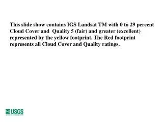
This slide show contains IGS Landsat TM with 0 to 29 percent Cloud Cover and Quality 5 (fair) and greater (excellent) represented by the yellow footprint. The Red footprint represents all Cloud Cover and Quality ratings. IGS 1982 TM. IGS 1983 TM. IGS 1984 TM. IGS 1985 TM. IGS 1986 TM.

E N D
This slide show contains IGS Landsat TM with 0 to 29 percent Cloud Cover and Quality 5 (fair) and greater (excellent) represented by the yellow footprint. The Red footprint represents all Cloud Cover and Quality ratings.