Download
1 / 34
340 likes | 472 Views
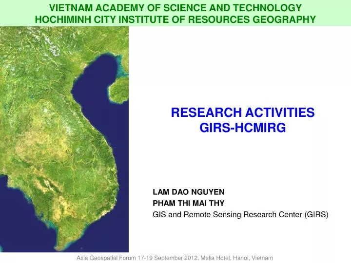
VIETNAM ACADEMY OF SCIENCE AND TECHNOLOGY HOCHIMINH CITY INSTITUTE OF RESOURCES GEOGRAPHY. RESEARCH ACTIVITIES GIRS-HCMIRG. LAM DAO NGUYEN PHAM THI MAI THY GIS and Remote Sensing Research Center (GIRS). Asia Geospatial Forum 17-19 September 2012, Melia Hotel, Hanoi, Vietnam.

E N D
VIETNAM ACADEMY OF SCIENCE AND TECHNOLOGY HOCHIMINH CITY INSTITUTE OF RESOURCES GEOGRAPHY RESEARCH ACTIVITIES GIRS-HCMIRG LAM DAO NGUYEN PHAM THI MAI THYGIS and Remote Sensing Research Center (GIRS) Asia Geospatial Forum 17-19 September 2012, Melia Hotel, Hanoi, Vietnam
Institute of Mathematics (IM) Institute of Information Technology (IOIT) Institute of Mechanics (IMECH) Institute of Materials Science (IMS) Institute of Physics (IP) Hochiminh City Institute of Physics (HCMIP) Institute of Chemistry (IC) Institute of Natural Products Chemistry (INPC) Institute of Biotechnology (IBT) Institute of Ecology and Biological Resources (IEBR) Institute of Geography (IG) Institute of Geological Science (IGS) Institute of Geophysics (IGP) Institute of Tropical Technology (ITT) Institute of Applied Mechanics and Informatics Institute of Chemistry Technology (ICT) Institute of Tropical Biology (ITB) Institute of Oceanography (IO) Institute of Environmental Technology (IET) Space Technology Institute (STI) Institute for Marine Geology and Geophysics (IMGG) Institute of Marine Environment and Resources (IMER) Institute of Applied Materials Science Institute of Applied Physics and Scientific Instruments (IAPSI) Institute of Resources, Environment and Sustainable Development in Hue City Vietnam National Satellite Center (VNSC) etc. Vietnam Academy of Science and Technology (VAST) INTRODUCTION Hochiminh City Institute of Resources Geography (HCMIRG) Asia Geospatial Forum 17-19 September 2012, Melia Hotel, Hanoi, Vietnam
INTRODUCTION Administration Office Department of Water Resources Department of Geophysics Department of Geology and Geomorphology Hochiminh City Institute of Resources Geography (HCMIRG) Nam Can Observatory for Environment Center of Analysis, Experiment and Mineral Technology GIS and Remote Sensing Research Center (GIRS) GIS and Remote Sensing Research Center (GIRS) Department of Economic and Social Geography Department of Land Resources Department of Integrated Geography Asia Geospatial Forum 17-19 September 2012, Melia Hotel, Hanoi, Vietnam
INTRODUCTION MAN POWER • Researchers were graduated in fields of RS, GIS, Informatics, Geography, Geology, Natural Resources Management, etc. within Vietnam universities and foreign universities. • Cooperation with experts and scientists working at: • Universities • Research institutions • International cooperation: projects with UNDP, UNEP, ESCAP, ESA, DLR, CESBIO/CNES, WWF Asia Geospatial Forum 17-19 September 2012, Melia Hotel, Hanoi, Vietnam
FUNCTION AND ACTIVITIES OF GIRS • Implementing fundamental and applied researches; • Applying IT in RS and GIS; • Trainingand educating on RS and GIS; • Technical assistance and consultancy of RS, GIS and GNSS for applications and development. Asia Geospatial Forum 17-19 September 2012, Melia Hotel, Hanoi, Vietnam
RESEARCHES • Fields of application: • Natural resources and environment monitoring • Agriculture and forestry • Urban management and planning • Natural disaster, climate change, etc. • Study sites: South of Vietnam • International collaboration projects: WISDOM, RICEMAN, Planet Action Asia Geospatial Forum 17-19 September 2012, Melia Hotel, Hanoi, Vietnam
INTRODUCTION Research projects:WISDOM (Vietnam and Germany): Water related information system for the MD, VietnamRICEMAN: Rice & Mangrove monitoring in Southern Vietnam (DLR, Germany)Planet Action: Impacts of climate change and human activities on the environment in the MD, VietnamUtilization of SAR data for rice crop monitoringChange detection of Mekong river bank and coastline.Estimation the mangrove forest biomass Asia Geospatial Forum 17-19 September 2012, Melia Hotel, Hanoi, Vietnam
Natural resources and environment Coastal zone management in West Sea • Database: base map, environmental layers • Query and search tools • Environmental sensitivity index maps Asia Geospatial Forum 17-19 September 2012, Melia Hotel, Hanoi, Vietnam
Natural resources and environment Water resource WISDOM project http://www.wisdom.caf.dlr.de/ Asia Geospatial Forum 17-19 September 2012, Melia Hotel, Hanoi, Vietnam
Natural resources and environment Water resource WISDOM project • Categories system of LC/LU • LC/LU changes Asia Geospatial Forum 17-19 September 2012, Melia Hotel, Hanoi, Vietnam
Natural resources and environment Water resource WISDOM project (cont.) • Monitoring flood and quality of water Asia Geospatial Forum 17-19 September 2012, Melia Hotel, Hanoi, Vietnam
Natural resources and environment GIS tool for historical information management of land parcels Information of land parcels Historical information of land parcels Tool to query, edit the land parcels Asia Geospatial Forum 17-19 September 2012, Melia Hotel, Hanoi, Vietnam
Natural resources and environment GIS tools for mineral resources management Binh Thuan Province Spatial Analysis Query information Information of mining location Database of Mineral resources, tool for management, mining and report Asia Geospatial Forum 17-19 September 2012, Melia Hotel, Hanoi, Vietnam
Natural resources and environment GIS tool for resources management: mapping potential location for oil refinery Calculating weights of parameters Calculating sum of weights for each location Result map Asia Geospatial Forum 17-19 September 2012, Melia Hotel, Hanoi, Vietnam
Natural resources and environment GIS tool for water quality management Sai Gon – Dong Nai rivers Information from monitoring stations Water quality graph Asia Geospatial Forum 17-19 September 2012, Melia Hotel, Hanoi, Vietnam
Turbidity Monitoring Asia Geospatial Forum 17-19 September 2012, Melia Hotel, Hanoi, Vietnam
Natural resources and environment GIS applications on irrigation networks management Go Cong – Tien Giang Nam Mang Thich – Tra Vinh Quan Lo-Phung Hiep Drain cross section Hydraulic cross section Asia Geospatial Forum 17-19 September 2012, Melia Hotel, Hanoi, Vietnam
Agriculture and Forestry Rice crop monitoring The use of SAR data for rice crop monitoring in Soc Trang Province (ESA Research, 2002 - 2003) and An Giang Province (2007) Rice cropping system in 2007, An Giang Winter - Spring Summer - Autumn Autumn - Winter Asia Geospatial Forum 17-19 September 2012, Melia Hotel, Hanoi, Vietnam
Agriculture and Forestry Rice crop monitoring Estimated production of rice crop in Soc Trang (ESA project) Asia Geospatial Forum 17-19 September 2012, Melia Hotel, Hanoi, Vietnam
Agricuture and Forestry Forest monitoring Mangrove forest monitoring 1973-2000-2008 (Planet Action project) Asia Geospatial Forum 17-19 September 2012, Melia Hotel, Hanoi, Vietnam
Natural disaster Drought Flood Erosion
Natural disaster Riverbank change At Sa Dec – Dong Thap Province Asia Geospatial Forum 17-19 September 2012, Melia Hotel, Hanoi, Vietnam
Natural disaster The area was accreted about 3km The area was eroded about 1km Riverbank change Ca Mau Province: The most southern part of Vietnam Asia Geospatial Forum 17-19 September 2012, Melia Hotel, Hanoi, Vietnam
Riverbank change At Tien river from the part of Cao Lanh to My Thuan red: erosionyellow: accretion Asia Geospatial Forum 17-19 September 2012, Melia Hotel, Hanoi, Vietnam
Natural Disaster Developed tools for riverbank monitoring using temporal remote sensing data Asia Geospatial Forum 17-19 September 2012, Melia Hotel, Hanoi, Vietnam
Natural disaster Erosion monitoring GIS tools for riverbank management Asia Geospatial Forum 17-19 September 2012, Melia Hotel, Hanoi, Vietnam
Natural disaster Flood monitoring At Mekong Delta (using radar and optical data) Asia Geospatial Forum 17-19 September 2012, Melia Hotel, Hanoi, Vietnam
Urban management 1966-1972 1972-1989 1989-1997 1997-2002 2002-2007 Urban expansion: trend and rate Asia Geospatial Forum 17-19 September 2012, Melia Hotel, Hanoi, Vietnam
Urban management Fill-up monitoring at Ho chi Minh City
Urban management GIS Tool to monitor filled-up area showing the streams and rivers filled up and houses encroached in Ho Chi Minh City
Ongoing and futher research works River banks and coast lines erosion monitoring Applied research on active microwave remote sensing and statistical model for estimating the mangrove forest biomass (12/2011 – 12/2013, NAFOSTED – National level). Integrated system of remote sensing, GIS and mathematical model for assessing climate change in Southern Vietnam (plan: 2012-2014)
Ongoing and futher research works RICEMAN GIS & Remote Sensing Research Center – GIRS/HCMIRG/VAST
Ongoing and futher research works WISDOM: Phase 2 (2010-2013)