Download
1 / 4
40 likes | 135 Views
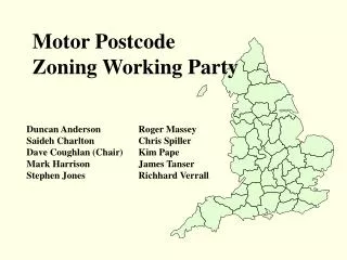
Keeping abreast of Postcode changes in Local Areas. Presented by Sharon May Senior Public Health Analyst. Postcode geography. Postcode geography is continually changing

E N D
Keeping abreast of Postcode changes in Local Areas Presented by Sharon May Senior Public Health Analyst
Postcode geography • Postcode geography is continually changing • Royal Mail will make large-scale changes to postal addresses, such as when housing estates are developed in already densely populated areas leading to ‘Postcode exhaustion’: where there are no free postcodes left to allocate • Royal Mail operates a 6 monthly summary of any changes, known as a ‘Postcode Update’ • ONS produces regional updated postcode lists by NHS IT Cluster • Derby City Council produces neighbourhood postcode list
Derby City’s Neighbourhood Renewal Areas • Derby City Council provides the neighbourhood postcodes • Last year, the boundaries were very slightly altered and a new postcode file was produced • It became apparent that there was a considerable difference between the new and old lists, in the number of deaths being extracted from the annual deaths files supplied by ONS for use in HNA of the areas as well as LAA work • The older list had 57 postcodes not present in the newer list, and the newer list had 33 postcodes not present in the older list
Neighbourhood problems cont… • Meeting with Research & Strategy Officer at Derby City Council arranged • Using MapInfo, OS Mastermap and the council’s own database, each postcode that posed a problem was explored • It became apparent that a number of the postcodes were unmatched PO Box numbers, others which were once inside an NRA were now not, and some should not have been included in the first place, such as one attached to Derby City Hospital • Overlap of North Chaddesden NRA and Derwent NDC posed problems • In 2000-2005, 118 deaths had been registered to two postcodes that were once inside an NRA, but now fell outside. These were discovered to be care homes • Other issues between the latest, and earlier postcode files included the same postcodes being in both, but being attributed to two NRAs • Also, deaths being registered to terminated postcodes