Download
1 / 11
110 likes | 235 Views
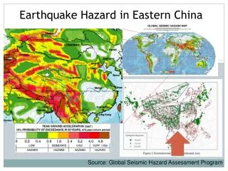
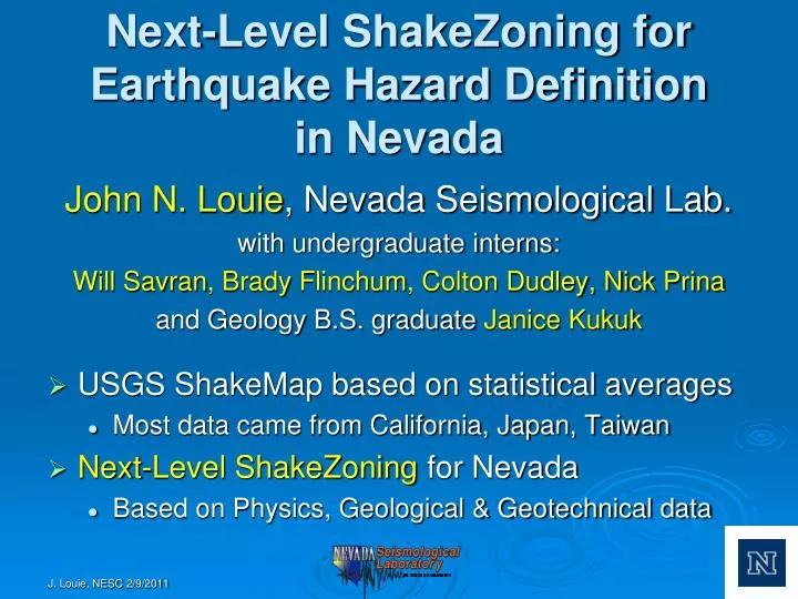
Next-Level ShakeZoning for Earthquake Hazard Definition in Nevada. John N. Louie , Nevada Seismological Lab. with undergraduate interns: Will Savran , Brady Flinchum , Colton Dudley, Nick Prina and Geology B.S. graduate Janice Kukuk USGS ShakeMap based on statistical averages

E N D
Next-Level ShakeZoning for Earthquake Hazard Definitionin Nevada John N. Louie, Nevada Seismological Lab. with undergraduate interns: Will Savran, Brady Flinchum, Colton Dudley, Nick Prina and Geology B.S. graduate Janice Kukuk • USGS ShakeMap based on statistical averages • Most data came from California, Japan, Taiwan • Next-Level ShakeZoning for Nevada • Based on Physics, Geological & Geotechnical data
Clark County & Henderson Parcel Map 10,721 Measurements Parcel Classification for IBC
Adding Geology & Geotechnical Data Black Hills Fault in Google Earth with USGS Qfaults trace ShakeZoning Geotech Map
Adding Physics • Black Hills M6.5 event • Short trace but 4-m scarps noted • Viscoelastic finite-difference solution • 0.5-Hz frequency • 0.20-km grid spacing • A few hours on our small cluster • Mode conversion, rupture directivity, reverberation, trapping in basins
Black Hills M6.5 Scenario Results • Max Peak Ground Velocity (PGV) >140 cm/sec • PGV over 60 cm/sec (yellow) bleeds into LVV through Railroad Pass • Large event for a short fault • Unlikely, but add to hazard probabilistically • Need to know how unlikely
Surprising Effect of Parcel Map Over IBC Defaults 1-D Amplification Used in IBC, ShakeMap 3-D Amplification from ShakeZoning
ShakeMap versus ShakeZoning Yellow is 60 cm/sec on both Geotech estimated from topography ShakeZoning shows trapping in basins Hazard map is difficult to predict
Frenchman Mountain Fault M6.7 Scenario Possible Scarp in Neighborhood Event Inside the LVV Basin