Download
1 / 21
210 likes | 212 Views
A surface climatology of the Ross Island, Antarctica region using a high-resolution mesoscale atmospheric model. 1- Andrew J. Monaghan, 1- David H. Bromwich, 2- Jordan G. Powers, and 2- Kevin W. Manning 1- Polar Meteorology Group Byrd Polar Research Center The Ohio State University

E N D
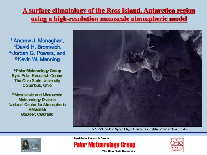
A surface climatology of the Ross Island, Antarctica region using a high-resolution mesoscale atmospheric model 1-Andrew J. Monaghan, 1-David H. Bromwich, 2-Jordan G. Powers, and 2-Kevin W. Manning 1-Polar Meteorology Group Byrd Polar Research Center The Ohio State University Columbus, Ohio 2-Mesoscale and Microscale Meteorology Division National Center for Atmospheric Research Boulder, Colorado NASA/Goddard Space Flight Center - Scientific Visualization Studio
Introduction • This study employs the archive of numerical weather model forecasts from AMPS to explore the seasonal and annual climatology of the McMurdo region with high spatial resolution. • Motivation: To our knowledge, this is the first time it has been possible to examine the climate of this region at such high resolution and with such detail. This is potentially useful for biologists, geologists, oceanographers, paleoclimatologists, meteorologists, etc.
Previous Studies • Katabatic Winds (Bromwich 1989, 1991, 1992) • Barrier Winds (O’Connor et al. 1994) • Flow splitting around Ross Island (Slotten and Stearns 1987, Bromwich 1988), O’Connor and Bromwich 1988, Seefeldt et al. 2003) • Mesoscale Cyclones (Carrasco and Bromwich 1994, 1996, Gallee 1996, Carrasco et al. 2003) • Automatic Weather Station (AWS) Climatologies (Savage and Stearns 1985, Stearns and Weidner 1993, Stearns et al. 1993, Holmes and Stearns 1995, Stearns 1997, Holmes et al. 2000) – Resoved temperature gradients, wind directions, pressure maxima and minima associated with topography • Precipitation (Bull 1966, Keys 1980, Bromwich 1988)
Topography Conclusion: Model Resolution Very Important!
Model Skill • Remarkable skill on monthly timescales. • Captures atmospheric variability • Winds slightly too strong; this is due to the model roughness length being too small.
Is the chosen period valid to construct a climatology? 2002-03 Sea Level Pressure Anomalies from the 25-y mean Plots generated from NCEP/NCAR 40-y Reanalysis Annual • Annual, Winter, and Summer appear to be “typical seasons”. Therefore, we can expect the following results to represent average conditions. • Spring and Autumn appear to be somewhat anomalous. Therefore, we can expect “better-than-normal” weather for SON, and “poorer-than-normal” weather for MAM. JJA SON DJF MAM
Wind • Flow is primarily from the south. • Flow splitting around Ross Island causes easterly winds at Williams Field. • Winds are similar in the various seasons, but strongest in autumn and winter. • Vortex shedding due to the flow around Ross Island causes quasi-permanent eddies in the lee of the island. This may be partly responsible for the high incidence of mesoscale cyclogenesis to the north of Ross Island (Carrasco et al. 2003)….
Sea Level Pressure • Local areas of high (upwind) and low (downwind) pressure are due to the wind flowing around topography. For example, this explains the high-incidence of subsidence fog at Williams Field. • Lowest pressure in domain is to the northeast and east of Ross Island. This is due to the large synoptic systems which enter the Ross Sea from the north. • The lowest pressure occurs in spring and autumn. This coincides with the semi-annual oscillation noted by van Loon (1967).
Temperature • In addition to variability due to elevation, marked horizontal gradients are also prominent, especially near the ice shelf edge. • A northwest-southeast temperature gradient appears to be due to the regional topography diverting most of the flow to the east of Minna Bluff and Ross Island. This allows McMurdo to be much warmer than it would be otherwise. • Warm signatures due to foehn/katabatic winds are evident in the valleys of the Transantarctic mountains.
Clouds • Comparison with observations at McMurdo reveals best skill in autumn and winter. • Cloudiness is dominated by the amount of open water in the Ross Sea. Therefore, summer and autumn are the cloudiest seasons. • Effects of Ross Sea Polynya are evident. • Clouds on the south slopes of mountains.
Precipitation (first ever maps?) • Comparison with observations at McMurdo indicate these fields may represent a “typical” year. Sharp gradients make it difficult to compare modeled and observed precipitation. • Orographic maxima occur on the south slopes of the mountains. This suggests that most of the precipitation is due to the large synoptic-scale systems to the northeast. • The Dry Valleys appear to have low snowfall due to a precipitation shadow effect. • Summer and autumn are the wettest seasons, but this is mainly in the mountains. There is not much seasonal variability at low elevations.
Horizontal Visibility: A new product Result % time visibility is below flight minima in summer • Based on Model humidity, winds, and precipitation • Algorithm: • The near-surface relative humidity is greater than 49% and the wind speed is less than 2 m s-1 (radiation fog); • The wind speed is greater than 8 m s-1 and precipitation has occurred in the last 12 hours. (blowing snow after precipitation occurs); • The wind speed is greater than 12 m s-1. (blowing snow regardless of whether precipitation has recently fallen). Comparison to Observations
Conclusions • First high-resolution climatology of the greater McMurdo region. • Topography exerts a first-order influence on the near-surface winds. • The near-surface temperature gradient is oriented northwest-to-southeast, with the warmest temperatures in the northwest near McMurdo; the gradient is steepest in winter. • Total cloud fraction primarily depends on the amount of open water in the Ross Sea; the cloudiest region is to the northeast of Ross Island, in the vicinity of the Ross Sea Polynya. • Orographic precipitation maxima occur on the southerly slopes of Ross Island and in the mountains to the southwest; a precipitation shadow effect appears to be an important influence on the low snowfall amounts observed in the McMurdo Dry Valleys.
“Zoom-up” of the McMurdo Dry Valleys Lake Vida AWS - Photo Courtesy Thomas Nylen (LTER)
Winds and Temperature • The winds are overestimated, and temperatures are too cold at many stations. The reason for this is discussed in the following slide. However, these fields are still useful for assessing the spatial distribution. • Mean winds are strongest in the northern valleys, likely due to more exposure to the Plateau. As a result, these valleys are colder. • A convergence zone is located at the mouth of Taylor and Ferrar Valleys. A temperature maxima located nearby may be related to this convergence.
Why the Dry Valleys are too cold and windy: Land-Use Category set to ice instead of desert! The effect of this is to shut down the sea-breeze cycle…
Sea Breeze Too Weak in AMPS Land Breeze Too Strong in AMPS Courtesty Manchester Metropolitan University Dept. of Meteorology …This is an easy fix for future forecasts
Precipitation and Clouds • A precipitation and cloud maxima is located at the mouth of Taylor and Ferrar Valleys. This appears to be due to the low level wind convergence noted above. • Both highest (~20 cm yr-1) and lowest (~2 cm yr-1) precipitation occur in Taylor Valley. • Victoria Valley least cloudy.
Doran et al. (2002) This is an easy fix for future forecasts Courtesty Manchester Metropolitan University Dept. of Meteorology
An Overview of Polar MM5 and AMPS Photo Courtesy Charlie Kaminski