Download
1 / 35
350 likes | 355 Views
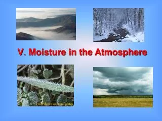
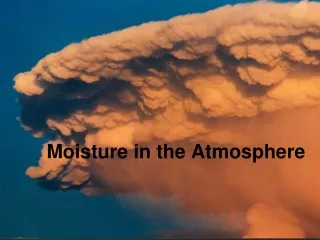
Chapter 4 Moisture in the Atmosphere. Water on the Earth has three common states solid, liquid, and vapor Each with its own unique properties Earth is the only planet we know of that has all three forms. Rain, ice, snow. The water cycle. Distribution of water within the hydrological cycle.

E N D
Chapter 4 Moisture in the Atmosphere Water on the Earth has three common states solid, liquid, and vapor Each with its own unique properties Earth is the only planet we know of that has all three forms
Rain, ice, snow The water cycle
Relative humidity (RH) Water in atmosphere is dependent on temp. • Saturation Vapor Pressure= • - the maximum amount of water vapor that air can "hold" - temperature dependent - warm air "holds" more than cold air RH = Vapor Pressure Saturation Vapor Pressure measured by a number of devices •
Condensation phenomena As RH goes to 100% water vapor condenses • - i.e., it changes from vapor to liquid or solid forms clouds, rain, snow/ice, fog, dew • Releases latent heat stored during vaporization Condensation Factors must get air mass to reach saturation (approx) • - accomplished by lifting & cooling, cooling, or increasingamount of water being vaporized usually have to have something for the water • to condense onto...such as: - aerosols -dust particles and large molecules
Environmental lapse rate 6.5° C per 1000 m = Avg. lapse rate dependent upon the local environmental conditions i.e., empirical = derived by measuring the avg temp of the air mass at the surface (TS) and at the top of the troposphere (TT) and the elevation difference between surface and troposphere (HST) (( TS - TT ) / (HST)) Different from another more important lapse rate called Adiabatic lapse rate
Cloud formation (1:2) lifting of an air mass cooling due to adiabatic process • - ADIABATIC - no energy lost or gained by exchanging with air that has different characteristics -
Adiabatic lapse rates Dry lapse rate (not at saturation) > 10° C per 1000 meters (5.5 F / 1000 ft) - Wet lapse rate (at saturation point) > Heat (latent) gained as water condenses > air does not cool as fast > 6° C per 1000 meters (3.3 F / 1000 ft)
Means of lifting Heating (aka convectional lifting) • - warmed air rises (can also have a lot of water vapor) Orographic Lifting (mountains) • - air encouters a barrier and goes over the top of it Frontal Lifting (air masses with • different densities - cool air is more dense than warm air > slides underneath warm air, lifting it
Frontal lifting Warm Front • Cold Front •
Cloud terminology is descriptive Based on cloud form or shape Cirrus = feathered or wispy • Stratus= layered • Cumulus=puffy • also linked to elevation low, middle, high, and vertically developed • - Alto = middle also linked to precipitation nimbo (-us) = rain • sometimes linked to temperature warm vs. cold clouds •
Cirrus Clouds - High Clouds "Feathers" or "Wisps" or small "Puffs" • almost always High clouds • Usually Ice crystals • - a "mackerel" sky with small, puffed, cirrus clouds known as cirrocumulus - and almost layered cirrostratus clouds
Perspective is everything from below, the low clouds look like stratus from below, the low clouds look like stratus • • from above they look like cumulus from above they look like cumulus • • in reality they are some combination of both! in reality they are some combination of both! • • - three layers - three layers are visible are visible here here - cirrus - cirrus > v. high > v. high - altocirrus - altocirrus > middle > middle - stratocumulus - stratocumulus > lower > lower
Cumulonimbus Clouds continued vertical development will eventually lead to • Cumulonimbus clouds - these produce heavy local rains, strong winds, and thunderstorms Characterized by a tall, often flat-topped, puffy • cloud form