Download
1 / 23
240 likes | 384 Views
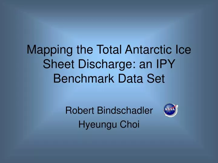
Mapping the Total Antarctic Ice Sheet Discharge: an IPY Benchmark Data Set. Robert Bindschadler Hyeungu Choi. IPY project #88 : Antarctic Surface Accumulation and Ice Discharge. Surface Accumulation Re: ITASE Ice Discharge Across grounding line perimeter

E N D
Mapping the Total Antarctic Ice Sheet Discharge: an IPY Benchmark Data Set Robert Bindschadler Hyeungu Choi
IPY project #88: Antarctic Surface Accumulation and Ice Discharge Surface Accumulation • Re: ITASE Ice Discharge • Across grounding line perimeter • Requires ice thickness and column-averaged velocity
Total accumulation = 814 Gt/a Is monitoring outlet glaciers enough? Rignot and Thomas assessed discharge from 33 outlet glaciers, including 25 of the 30 largest
What’s Missing • Coastal basins • Small areal percentage (~25%) • High accumulation • Most of the perimeter • Rignot and Thomas’ basins account for less than half of total accumulation flux (1811 Gt/a)
Not a new idea • Long-standing SCAR initiatives • ISMASS • GLOCHANT • Even IPY couldn’t muster the necessary traditional tools • Airborne radar sounders • A new approach was needed
Space-based Approach • Delineate grounding line • Visual inspection of optical imagery • Tidal flexure in both GLAS and interferometric SAR (InSAR) • Determine elevation in vicinity of grounding line • Photoclinometry using GLAS elevation control and Landsat image brightness • Convert grounding line elevation to ice thickness • Apply hydrostatic equilibrium condition • Multiply ice thickness by column-averaged velocity • InSAR • Surface velocity equals column-average for floating ice • Elevation values improve determination of velocity vector from single track InSAR
Trial Study Landsat-5 images collected December 1986
Antarctic Digital Database USGS Coastal Change Atlas MODIS Mosaic of Antarctica Our Study Grounding Line Delineation Not shown
Cloud-free GLAS data Repeat groundtracks 70-m footprints spaced 175 m apart along-track Approximately 11 km between groundtracks at 70oS Frequent data loss near coast due to clouds
q surface Photoclinometry • Assumes a diffusive surface of constant albedo image brightness scaling coefficient surface slope scattering
400 Elevation (m) 200 0 8 0 4 Distance (km) Test Profile 2 2 1 t t t 2 1 1
100 Elevation (m) 0 0 45 90 135 Distance (km) Grounding Line Thickness
Surface Velocity Interferometric analysis of SAR data is the primary source
InSAR Velocity “Issues” • Slow moving regions sometimes assumed stagnant to unwrap fringes • Elevation data needed to convert single track InSAR data to surface parallel velocity • Improved elevations produced from photoclinometry can improve existing velocity fields near grounding line • InSAR reduction sensitive to tidal motions on floating ice • Can help determine grounding line Aim is to produce and compile the most comprehensive set of Antarctic surface velocities
More Unwelcome Details • GLAS, Landsat-7 and SAR data not cotemporaneous • Photoclinometry is subject to other reflectance-modifying effects • Frost patches • Clouds • Fog • Crevasses • Some segments of the coast do not have land-fed floating ice
Summary • Coastal catchments are a major component of Antarctic mass balance • New methods work and data exist to quantify their contribution • IPY is an excellent time to accomplish this task • Benchmark data sets of: • Elevation (near grounding line) • Grounding line position • Grounding line thickness • Surface velocity • Discharge flux • Proposal(s) pending
Elevation Mapping • Rotate image to align with Sun • Interpolate GLAS data to a continuous elevation profile • For each pixel along grounding line, find nearest GLAS profile up-sun and down-sun • Use GLAS elevations to determine photoclinometry scaling coefficient • Determine elevation profile at each pixel • between GLAS control elevations
IPY Criteria • Benchmark data sets • Large international team • Including students • Data availability and archiving