Download
1 / 9
90 likes | 210 Views
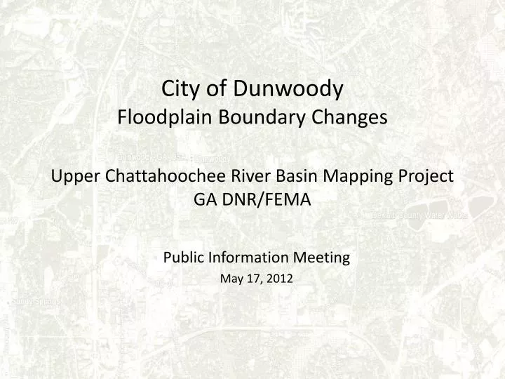
City of Dunwoody Floodplain Boundary Changes Upper Chattahoochee River Basin Mapping Project GA DNR/FEMA. Public Information Meeting May 17, 2012. What is the Project?.

E N D
City of Dunwoody Floodplain Boundary ChangesUpper Chattahoochee River Basin Mapping ProjectGA DNR/FEMA Public Information Meeting May 17, 2012
What is the Project? • The Georgia Department of Natural Resources (GA DNR) has launched the Upper Chattahoochee River Basin Mapping Project (UCRB) that will assess and re-map flood risks along a 107-mile stretch of the Chattahoochee River Basin. • The project is being conducted through a joint effort involving GA DNR and the Federal Emergency Management Agency (FEMA), with participation by county and municipal governments. • Re-mapping is scheduled for completion in 2012, so that government agencies, residents and businesses throughout the upper Chattahoochee River region will have more up-to-date information about the flood risks, easily available online.
What has changed? • The City provided topographic information to the GA DNR Floodplain Management Office’s technical consultants. • They used that information to re-map the floodplain boundaries. • They have proposed new floodplain maps that will go into effect later this year. The preliminary maps are here tonight and are available online.
How does this affect my Property? • Dunwoody straddles a ridge (Mt. Vernon Rd) and has relatively little floodplain, so for the majority of residents, there will be no change. • About 402 properties are affected • 139 properties have a decrease in flood boundaries • 263 properties show an increase in flood boundaries
What does this look like? Effective Floodplain (AKA Existing)
What does this look like? Preliminary Floodplain • (AKA Proposed) Red = Increased Flood Zone Green = Reduced Flood Zone Blue =No Change
What’s the web address? http://map.georgiadfirm.com/
Paper (PDF) Maps http://www.georgiadfirm.com/status/status.html • Click on “Click here for Map Mods Status Page” • Click on DeKalb County in the County drop down box • Click on “Preliminary Panels” • Dunwoody’s map panels are 13089C00 05J, 10J, 11J, 12J, 16J, 17J
QUESTIONS? http://map.georgiadfirm.com/