Download
1 / 13
130 likes | 260 Views
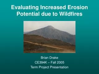
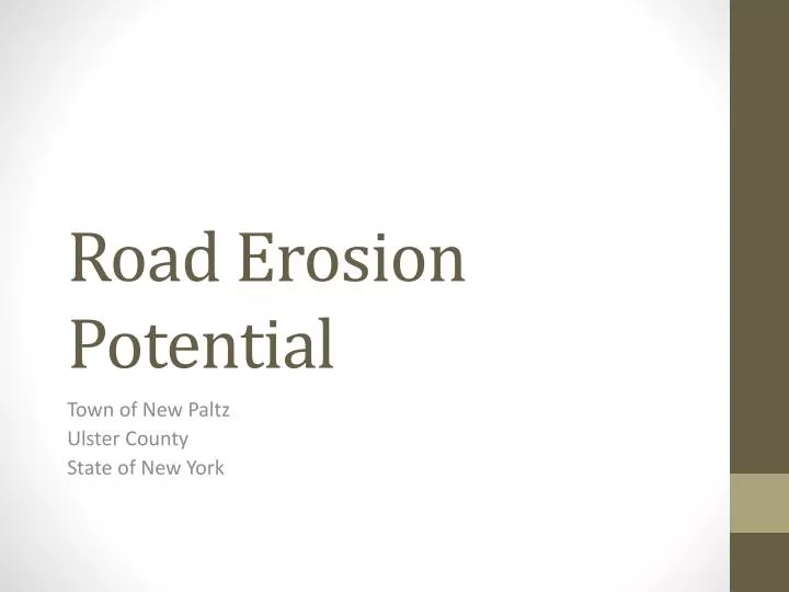
Road Erosion Potential. Town of New Paltz Ulster County State of New York. New Paltz. Home of SUNY New Paltz I-87 interchange and a bustling town Surrounded by countryside and farmland. Purpose. Analyze ground erosion potential on roads within the town’s boundaries.

E N D
Road Erosion Potential Town of New Paltz Ulster County State of New York
New Paltz • Home of SUNY New Paltz • I-87 interchange and a bustling town • Surrounded by countryside and farmland
Purpose • Analyze ground erosion potential on roads within the town’s boundaries. • Allow for prioritization of repair and maintenance efforts • Save money • Better use of materials • Better road conditions
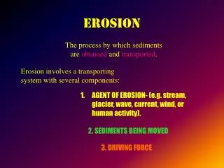
Erosion Potential (Cont.) • Obtained from National Geospatial Gateway • Original Plan • Calculate slope using DEM data from the NGG • Research what soils are most prone to erosion • Download soil types for the area • Calculate erosion potential based on combined slope and soil types • Soil Data from NGG • Already classified erosion potential!
Clipped to Erosion… • Required definition query for each erosion class • Created 3 separate clipped buffer polygons • Merged into one…
Selected Roads • First done by location intersect • Ended up with a list of 176 roads… • Moved to visual interpretation • Determined what general areas required the most attention • Mohonk Rd. and surrounding side roads • St. Hwy 208 • St. Hwy 32 • Interstate 87 onramp • Northern Section of Interstate 87 • Jansen Rd. • South Putt Corners Rd.
Thank you Questions?