Download
1 / 14
140 likes | 324 Views
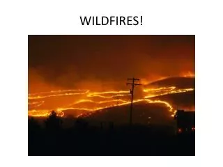
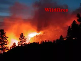
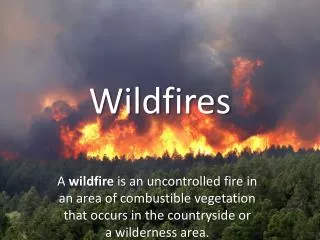
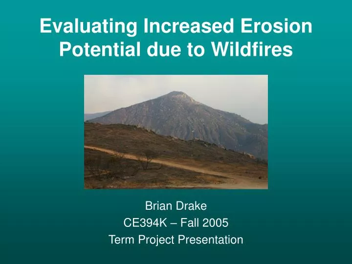
Evaluating Increased Erosion Potential due to Wildfires. Brian Drake CE394K – Fall 2005 Term Project Presentation. Study Area. Cedar Wildfire. Duration: 10/25/03 – 11/3/03 Size = 280,000 acres 2,232 homes destroyed 15 human deaths Suppression Cost: >$31 Mil.

E N D
Evaluating Increased Erosion Potential due to Wildfires Brian Drake CE394K – Fall 2005 Term Project Presentation
Cedar Wildfire • Duration: 10/25/03 – 11/3/03 • Size = 280,000 acres • 2,232 homes destroyed • 15 human deaths • Suppression Cost: >$31 Mil
Major Factors Affecting Soil Losses • Vegetative Cover • Soil Characteristics • Topography • Intensity of Storms
Modeling Erosion • USDA Universal Soil Loss Equation (USLE) • A = R∙K∙LS∙C∙P • A = Soil loss per unit area • R = Rainfall-Runoff Erosivity • K = Soil Erodibility • LS = Slope Length/Steepness Factor • C = Land Cover Factor • P = Conservation Practice Factor
Rainfall-Runoff Erosivity (R) • Reflects rainfall intensity and storm energy
Soil Erodibility (K) • Represents susceptibility of soil to erosion
Slope Length/Steepness (LS) LS = (a/22.13)0.4 (s/0.0896)1.3 DEM
Land Cover Factor (C) • Ratio of soil loss based on vegetative cover
Conservation Practice Factor (P) • Reflects impact of erosion-reduction practices
Total Sediment Potential (A) Aave = 30.7 ton/acre/yr Aave = 1,295 ton/acre/yr
Remaining Tasks • Adjustments to current pre-fire calculation • Check for unit consistency • Search for more representative R-Factor • Ensure that LS value is accurate • Modify factors to model post-fire conditions • Increase C-Factor
Resources • DEM:http://seamless.usgs.gov/ • NHD:http://nhd.usgs.gov/data.html • USDA Soils: http://www.ncgc.nrcs.usda.gov/products/datasets/statsgo/ • Fire Info:http://map.sdsu.edu/fireweb/