Download
1 / 20
200 likes | 331 Views
A Case Study in the Deployment of a Web-based Service as a Stakeholder Involvement Tool to Support the Development of a Travel Demand Model. 14 th Annual TRB Planning Applications Conference Columbus, OH - Wednesday, May 8, 2013. Bhupendra Patel, PhD, AMBAG Anais Schenk, AMBAG

E N D
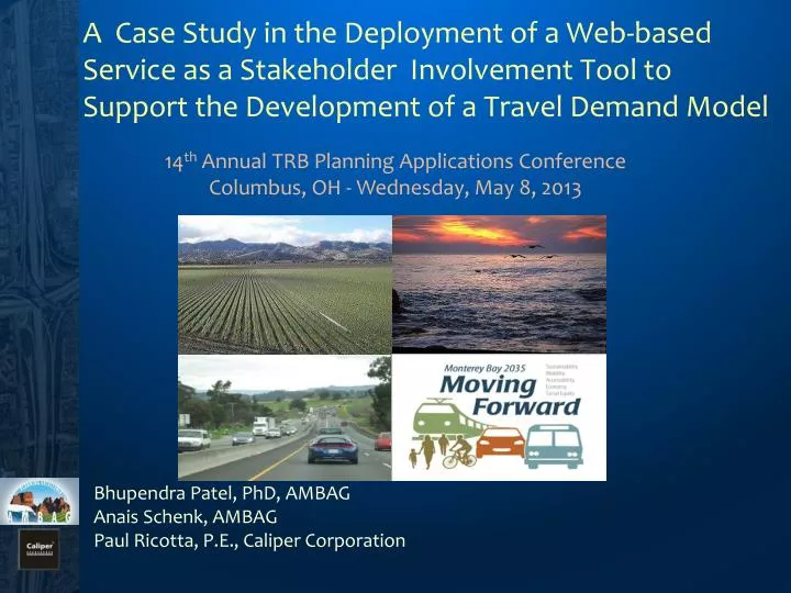
A Case Study in the Deployment of a Web-based Service as a Stakeholder Involvement Tool to Support the Development of a Travel Demand Model 14th Annual TRB Planning Applications Conference Columbus, OH - Wednesday, May 8, 2013 Bhupendra Patel, PhD, AMBAG Anais Schenk, AMBAG Paul Ricotta, P.E., Caliper Corporation
Outline • Overview • Web-based tool: Objective and Functionality • Effort Involved • Demonstration • Conclusions
Overview : Monterey Bay Region Covers • 3 Counties • 18 Cities • 3 Transit Operators • 3 Regional Transportation Planning Agencies • 2010 Population: 774,781 • 2035 Projected Population: 920,713
Overview • Engage stakeholders in the model update process and applications • Develop a web application to support data collection, QA/QC for Model inputs • Create unique user logins and comment logging • Provide training for stakeholders • Follow-up with stakeholder to gauge progress • Process logs, follow-up for increased participation • Validate the changes and update the Model input layers • Host Model outputs for stakeholders and public use
Web-based tool: Objective and Functionality Advantages of a web-based approach • Accessibility to users • No prior expertise required - minimal training requirement • Works across all platforms (Windows, Mac, Unix) • No software or data required on the client side Implemented as a browser application (thin-client) • The client is a Web Browser (Internet Explorer, Firefox, etc) • No plug-ins required • Data accessed via server and transmitted as raster images • Editable fields in the GIS attribute tables
Web-based tool: Objective and Functionality Feasibility considerations • Targeted toward large audiences • Non-expert users can interact with the application • Not all desktop functionality is appropriate in a client server environment • Data backup • User support for lost logins, server malfunctions/ reboots, etc.
Web-based tool: Functionality • Easy to access map console to illustrate TAZ data, Highway and Transit network data and other critical model input data • Ability to log comments and make corrections for posted speed, number of lanes, functional class , traffic counts and other key link attributes • Toggle themes on various data layers • View aerial photography in conjunction with vector data • Scale dependency of map properties such as labels and visibility of more detailed layers
Effort Involved • Hardware and Software • Appropriate server infrastructure to host site • Web-based mapping software for the server (TransCAD for the Web in this case) • Ability for hosting staff to access to control logins, upload new data for maps and reboot server • Maps • Create maps that are easy to read and understand and that are informative and worth looking at • User Training • Hosted live demonstration using web-based meeting software • Minimal technical support required after initial instruction
Toggle Button Map Interface Dynamic Layers and Map Refresh
Multi-tab Viewer Functionality Toolbar Features Selectable Data Layers and Auto Opening Attributes Tables
Dynamic Layer Display on Zoom Levels Selectable Labeling
Selectable Travel Analysis District Road Data Attributes
Selectable Layer Information using Info Tool Layer Information at Feature Class Level
Clear and Concise Legends Heat based mapping
Findings • We received approximately 200 edits • Overall, the response to the tool was excellent • Proficiency with tools developed quickly • Provided stakeholders with a better understanding and appreciation of the model input data • The requirement of submitting a short comment for an edit was helpful
Findings • Deadlines helped prevent the project from dragging on • Rapid response to add new data or to seek better map clarity required • While not the primary QA/QC for the model data, soliciting feedback from stakeholders was useful for keeping them engaged in the process and aware of the update progress
Questions For any additional questions please feel free to contact: Bhupendra Patel (AMBAG): bpatel@ambag.org Paul Ricotta (Caliper Corp.): paul@caliper.com