Download
1 / 20
200 likes | 208 Views
This presentation discusses the background and challenges of adopting electronic data collection technologies for population census, along with recommendations for planning the 2022 census. It also explores the use of digital mapping and the challenges faced in adopting new geospatial technology.

E N D
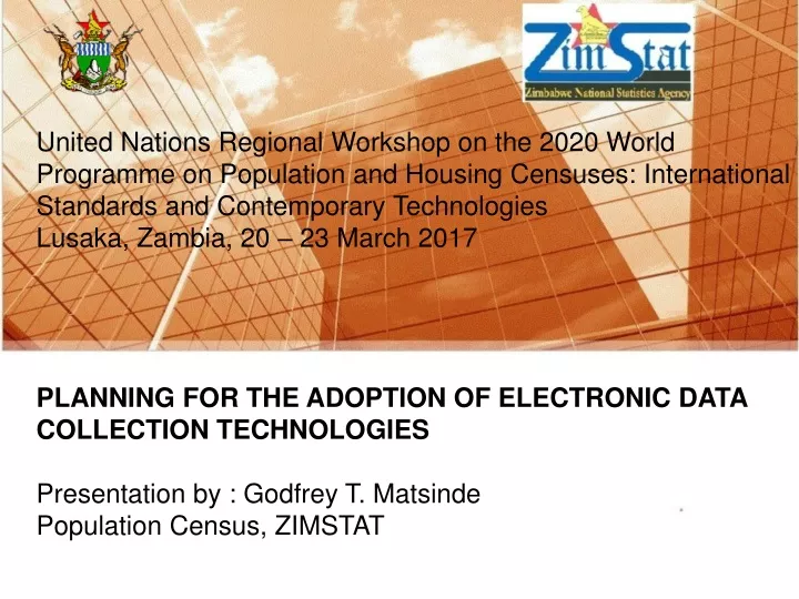
United Nations Regional Workshop on the 2020 World Programme on Population and Housing Censuses: International Standards and Contemporary TechnologiesLusaka, Zambia, 20 – 23 March 2017PLANNING FOR THE ADOPTION OF ELECTRONIC DATA COLLECTION TECHNOLOGIESPresentation by : Godfrey T. MatsindePopulation Census, ZIMSTAT
Presentation Outline • Overview • Background to Electronic Data Collection • Challenges/Recommendations • Planning for 2022 Population Census • Use of Digital Mapping • Challenges Faced in Trying to Adopt New Geospatial Technology
Overview • Zimbabwe conducted its first post-independence census in 1982. Subsequent censuses were conducted in 1992, 2002 and 2012. In all these censuses data collection was done through administering paper questionnaires. • Data editing and entry was done manually for the first three censuses, (1982, 1992 & 2002). • In 2012 Zimbabwe adopted the use of scanning technology for data capture. • However, although the technology was meant to speed up the whole data entry process there were challenges associated with the use of this technology:
Much time was spent editing the scanned questionnaires and there was no technical back-up readily available in the event of challenges. • The office did not have the capacity to attend to such problems and had to rely on a consultant who was based outside the country. • At one point, scanning had to be suspended after a problem was detected and a consultant had to be flown from Nairobi to attend to the problem. • However, the time taken to complete the data capturing process was greatly reduced and the reports were produced earlier as compared to previous censuses.
Background to Electronic Data Collection • Data collection is critical in research and is often a prominent factor in determining the cost and success of research project. • How data are collected has a sizeable impact on how data are managed and ultimately how the research is performed. • A number of initiatives have begun in the country to explore the use of electronic data collection methods specifically for large-scale surveys and censuses which can improve the timely acquisition and processing and validity, reliability, and consistency of quantitative data metrics.
The use of electronic devices for data collection was first implemented in the 2010 ZDHS through the use PDAs. • The decision for this transition was arrived at after a consultative process that included study tours to other countries that were already using this technology. • It was found out that computer assisted data collection resulted in improvements in the storage, management and collection of data. • Initially there were fears that the introduction of electronic data collection could introduce risks with data security and connectivity. These risks were however successfully mitigated.
In the 2015 ZDHS the use of tablets, (CAPI) was adopted. The decision to migrate to tablets was in response to improvements in technology since PDAs were already outdated and there was a general shift to modern technology, i.e. tablets. • Unlike in previous surveys data transfer to the central server was also done electronically. • The office managed to retain most of the staff who were involved in the initial stages of electronic data collection and so in terms of capacity, it is available. • The technology that we have been using in all our surveys was acquired through funding from Development Partners who also provided the technical assistance.
The Agency’s policy is now biased towards the promotion of electronic data collection in most surveys. Some of the surveys in which CAPI has been used include: • National Health Accounts • Consumer Price Survey • Malaria Indicator Survey • Nutrition Survey • The use of CAPI has come with some added advantages to the data collection process and some of these include: • Reduced Cost- By reducing or eliminating the need for paper and cutting the time needed by field workers to collect data, cost savings can be realized .
Improved Data Quality- Mobile data collection reduces the possibility of errors at the point of collection, and automate the cleaning of data down the line. • Safer Storage and Backup- Paper can be lost, destroyed, or mishandled in a number of ways, which can create problems later if the data needs to be re-accessed. Digital data, on the other hand, can be easily and inexpensively stored, copied and backed up. • Decreased Administrative Burden- if changes are made to those forms, it can be a nightmare to prepare and distribute changes on paper a process which often fails, resulting in data inconsistencies. Mobile forms, on the other hand, can be updated and pushed to all field staff quickly and automatically at the press of a button.
Challenges/Recommendations • The use of CAPI has however also come with some challenges: • The initial cost of acquiring the mobile data collection devices is high. • In areas where there is no network the data cannot be sent to the central server. • Breakages of devices sometimes occur such that data may not be retrievable.
Recommendations • Shutter-free tablets must be purchased to minimize possible damage when the fall down. • Interviewers must be thoroughly trained to handle the devices carefully. • Ample time must be allocated for the development of a CAPI system that minimizes inconsistences as well as entry of wrong data.
Planning for 2022 Census • The country has just entered into the planning phase of the 2022 census • Although CAPI has already been extensively used in data collection, no official position has been taken yet with regards to its use in the forthcoming census. • A number of factors have to be considered first especially the funding aspect or entering into partnerships with other NSO’s who are undertaking censuses closer to our own. • As part of kick starting the planning phase, the Agency is preparing to conduct an ICDS in August this year.
This survey will give us an opportunity to introduce the use of CAPI to other stakeholders as well as to Gvt which is expected to be the major funder of the 2022 census. Key decisions that are critical in the planning of the census should be made and a clear roadmap developed. • The Agency is working closely with UNFPA Zimbabwe in planning for the ICDS as well as moving towards the implementation of electronic data collection in the next census.
Use of Digital Mapping • The development of IT systems also saw the use of GIS in census mapping. • The use of the Global Positioning System Receivers in recording coordinates for the major features such as schools, clinics and business centers among others which are within an Enumeration Area. • Most of the EA sketch maps especially for the rural areas were drawn to scale using the topographic maps (1:50 000 sheets) which have grid references so it was possible to digitize the maps.
The EA sketch maps were then scanned to make soft copies. This was in anticipation that the maps were to be digitized such that the next time census mapping is carried out only updating of the EA maps will be required • The section has heavy duty scanners and plotters which were used to scan the topographic maps purchased from the Surveyor General’s office and these were then used to make District maps. • The section managed to get digitized ward, district and provincial boundaries from the Zimbabwe Electoral Commission. The section then uses these shape files to create maps which are requested for various atlases and publications.
The section also makes use of open source software such as Quantum and Ilwis as well as Arc View 3.2 to attend to simple GIS requests. • Training was done on digitizing, database creation and linking and georeferencing, however further training is still needed in these areas. • The cartography section depends on other organizations such as Zimbabwe Electoral Commission (delimitation of boundaries and shapefiles for these boundaries) and the Surveyor General’s Office (topographic and cadastral maps) for other geospatial requirements.
Challenges Faced in Trying to Adopt New Geospatial Technology • The adoption of geo-spatial technology has been very slow due to a number of challenges: • Lack of relevant and up to date software – there is need for purchasing up to date software i.e. . ArcGIS 9.2 that can be used to digitize Enumeration Area boundaries as well as the major features. At the moment this task cannot be accomplished because the software that is being used is open source that has limitations. • Lack of appropriate hardware – there is need for software compatible computers with the required memory i.e at least 16gig RAM and processors with at least 20GHz
Lack of GIS expertise – there is need for further training on the key aspects of GIS which are relevant to the section.. i.e. training on the use of google earth, comprehensive use of the GPS as well as further training on boundary and major features digitizing and georeferencing. • For the section to utilize google earth for mapping there is need for a dataset with properties (structures) characteristics i.e structure occupancy of which the country through ZEC is trying to establish that. However the exercise will not finish before Census 2022 hence the need for census mapping exercise. • Lack of internet access – there is limited internet bandwidth resulting in limited use of internet based software.
The section works with other organizations who also have their shortcomings that in turn affect the operations of the section especially in attempts to adopt the geospatial technology e.g the ZEC changes boundaries before each harmonized election and this means cartography has to adopt these new boundaries. Since the EAs that are created during the mapping exercise are within ward boundaries, any change to the ward boundaries means the EA boundaries have to change also resulting in the section having to redigitise the EA boundaries.
END • Thank you.