Download
1 / 44
440 likes | 578 Views
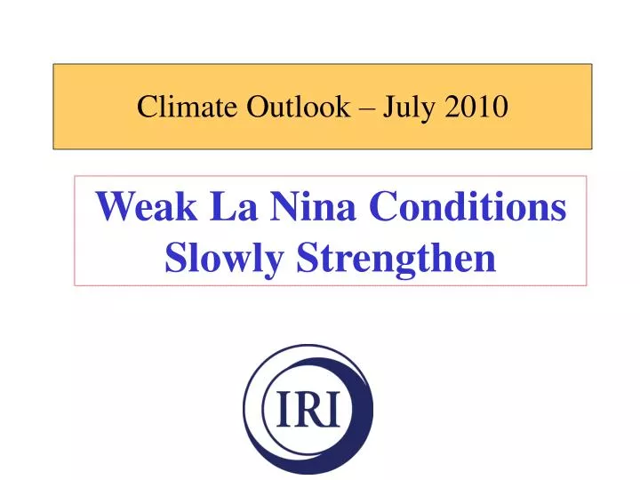
Climate Outlook – July 2010. Weak La Nina Conditions Slowly Strengthen. SST and Precipitation Obs for Recently Completed Season. AMJ 2010 SST anom (deg C). warm cold. AMJ 2010 precip anom (mm/day). wet dry. Verification of Most Recent Season Precipitation Forecast.

E N D
Climate Outlook – July 2010 Weak La Nina Conditions Slowly Strengthen
SST and Precipitation Obs for Recently Completed Season AMJ 2010 SST anom (deg C) warm cold AMJ 2010 precip anom (mm/day) wet dry
Verification of Most Recent Season Precipitation Forecast Verification: G: globe T: tropics this (mean forcst 1997→) rpss: G 0.000 (0.008) T 0.005 (0.015) likelihood: G 0.001 (0.004) T 0.004 (0.008) Heidke: G 0.006 (0.042) T 0.021 (0.068) GROC: G 0.537 (0.539) T 0.572 (0.565) AMJ 2010 precip tercile categ AMJ 2010 precip probab forecast from mid-Mar
Verification of Most Recent Season Temperature Forecast Verification: G: globe T: tropics this (mean forcst 1997→) rpss: G 0.255 (0.117) T 0.494 (0.183) likelihood: G 0.131 (0.056) T 0.290 (0.093) Heidke: G 0.439 (0.303) T 0.744 (0.420) GROC: G 0.673 (0.576) T 0.837 (0.630) AMJ 2010 temp tercile categ AMJ 2010 temp probab forecast from mid-Mar
Last week’s SST anomaly | | | | | | | | | | | --------------------------------------------------------------------
Stronger El Niño El Nino Jun La Nina StrongerLa Niña
* * * * * * * * * * * * * Outgoing Longwave Radiation Anomalies 5N – 5S Climate Prediction Center NCEP El Nino’s maximum influence on climate La Nina signature
Stronger La Niña *** **** ******* ** StrongerEl Niño
July 2008 July 2009 July 2010 Slightly enhanced trades Below-average thermocline depth continues to dominate ENSO state: weak La Nina conditions
Recent phase and strength of Madden-Julian Oscillation (MJO) mid-June 2010 mid-July 2010 weak/ moderate weak MJO MJO + + borderline La Nina weak La Nina = = borderline La Nina weak La Nina
Nino3.4 SST anomaly predictions from June
Nino3.4 SST anomaly predictions from July
July 2010 SST forecasts (plus and minus uncertainty scenarios at right)
Tropical Cyclone ForecastsJuly 2010 South- westward location shift NTC = Number of Tropical Cyclones ACE = Accumulated Cyclone Energy
Six IRI focus areas: 12-year skill of IRI precipitation forecasts RPSS GROC RPSS GROC score R G R G R G R G R G R G
This ppt file is available to anyone on the shared drive: ……/tonyb/iri_html /fctbriefingmonyr