Download
1 / 15
150 likes | 256 Views
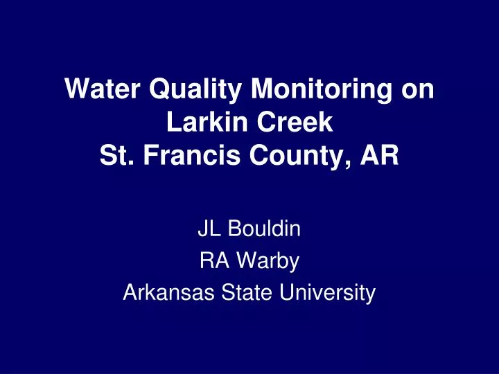
Water Quality Monitoring on Larkin Creek St. Francis County, AR. JL Bouldin RA Warby Arkansas State University. Background. Larkin Creek is a tributary of the L’Anguille River dominated by row crop agriculture.

E N D
Water Quality Monitoring on Larkin CreekSt. Francis County, AR JL Bouldin RA Warby Arkansas State University
Background • Larkin Creek is a tributary of the L’Anguille River • dominated by row crop agriculture. • L’Anguille River is a tributary of the St. Francis River in eastern Arkansas in the Delta ecoregion • ADEQ authorized the St. Francis County Conservation District to implement BMPs to reduce pollutant loading to L’Anguille
Site description Lateral 1-A of Larkin Creek • Tributary of the L’Anguille River • HUC#080202050506 St. Francis County
St. Francis County Site description
Site description Lateral 1-A of Larkin Creek • Tributary of the L’Anguille River • HUC#080202050506
BMPs St. Francis County Conservation District • sediment pond construction • plant riparian buffers • remove sediment • restore the channel • Lateral 1-A of Larkin Creek L’Anguille River • Agricultural activities cited as major cause of the impairment within watershed • excessive turbidity from silt, suspended solids loading, sedimentation
Objectives • Determine baseline data prior to BMP implementation • Weekly grab samples • Total Suspended Solids • pH • Dissolved Oxygen • Nutrients • Nitrate, Nitrite, Orthophosphate
Upper Larkin Creek site Upstream Downstream
Middle Larkin Creek site Upstream Downstream
Lower Larkin Creek site Upstream Downstream
Preliminary results • TSS highest at Middle Site • Especially following rain events • Will benefit from upstream sedimentation pond • pH lowest at Upper and Middle sites from temporary acidification following rain events • DO high due to increased primary production and early afternoon sampling times • Final sampling and nutrient data pending
Questions? Middle Larkin Creek Lower Larkin Creek Upper Larkin Creek