Download
1 / 19
190 likes | 291 Views
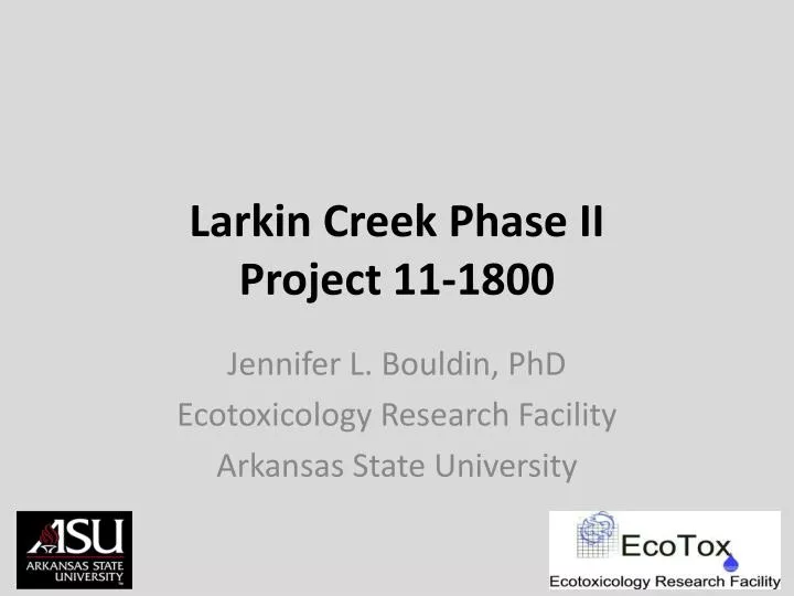
Larkin Creek Phase II Project 11-1800 . Jennifer L. Bouldin , PhD Ecotoxicology Research Facility Arkansas State University. Background. Larkin Creek tributary of the L’Anguille River dominated by row crop agriculture. L’Anguille River tributary of the St. Francis

E N D
Larkin Creek Phase IIProject 11-1800 Jennifer L. Bouldin, PhD Ecotoxicology Research Facility Arkansas State University
Background • Larkin Creek • tributary of the L’Anguille River • dominated by row crop agriculture. • L’AnguilleRiver • tributary of the St. Francis • in the Delta ecoregion • ADEQ authorized the St. Francis County Conservation District to implement BMPs to reduce pollutant loading to L’Anguille
Site description Lateral 1-A of Larkin Creek • Tributary of the L’Anguille River • HUC#080202050506 St. Francis County
St. Francis County Site description
Site description Lateral 1-A of Larkin Creek • Tributary of the L’Anguille River • HUC#080202050506
BMPs St. Francis County Conservation District • sediment pond construction • plant riparian buffers • remove sediment • restore the channel • Lateral 1-A of Larkin Creek L’Anguille River • Agricultural activities cited as major cause of the impairment within watershed • excessive turbidity from silt, suspended solids loading, sedimentation
Measured Parameters • pH • Dissolved Oxygen • Total Suspended Solids (TSS) • Turbidity • Dissolved Nitrate, Nitrite, Orthophosphate
Phase IUpper Site • PO4 = bdl – 0.50 ppm • NO3 = bdl • Turbidity = 2.39 – 8.29 NTU • TSS = 5.10 – 28.67 mg/L
Phase I Middle Site • PO4 = 0.04 – 0.21 ppm • NO3 = bdl • Turbidity = 2.49 – 285 NTU • TSS = 7.67 – 489.83 mg/L
Phase I Lower Site • PO4 = 0.08 – 0.32 ppm • NO3 = bdl – 0.71 ppm • Turbidity = 2.49 – 5.16 NTU • TSS = 5.03 – 12.90 mg/L
Phase II Upper Site Phase I
Upper site 25.23 Greatest pre-implementation values PO4 - 0.50 ppm NO3 - bdl Turbidity - 8.29 NTU TSS - 28.67 mg/L
Phase I Phase II Middle Site
Middle site 21.56 Greatest pre-implementation values PO4 - 0.21 ppm NO3 - bdl Turbidity - 285 NTU TSS - 489 mg/L 2536 1067
Phase II Lower Site Phase I
Lower site 32.95 Greatest pre-implementation values PO4 - 0.24 ppm NO3- 0.71 ppm Turbidity – 5.16 NTU TSS – 12.17 mg/L 738 888
Preliminary results • TSS remains highest at Middle Site • Especially following rain events • Will benefit from upstream sedimentation pond • Nutrient spikes following applications and rainfall events • Data following conservation practice implementation may show improvement over time • Data from drought year (2012) and wet year (2013) difficult to interpret
Questions? Middle Larkin Creek Lower Larkin Creek Upper Larkin Creek Thanks to ANRC, Sarah Vogt, students and technicians at Ecotox