Download
1 / 18
190 likes | 331 Views
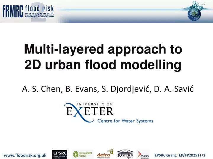
Multi-layered approach to 2D urban flood modelling. A. S. Chen, B. Evans, S. Djordjević , D . A. Savić. Motivation. Improved efficiency of 2D flood modelling Reduced-complexity models Better numerical schemes Parallelisation (MPI, OPEN-MP, GPU) Adaptive meshes Grid coarsening.

E N D
Multi-layered approach to 2D urban flood modelling A. S. Chen, B. Evans, S. Djordjević, D. A. Savić
Motivation • Improved efficiency of 2D flood modelling • Reduced-complexity models • Better numerical schemes • Parallelisation (MPI, OPEN-MP, GPU) • Adaptive meshes • Grid coarsening
Building Coverage Ratio (BCR) • Area occupied by buildings within a grid cell Computing cell Building
Conveyance Reduction Factors (CRFs) Widths blocked by buildings on cell boundaries (in both x and y directions) Computing cell Building
Building alignment y a b c x d e f Computing cell Building
Grid coarsening approaches Plain view Longitudinal elevation profile
Grid coarsening approaches • 1m grid resolution as the benchmark • 20m grid coarsening approaches • Averaged DEM (average of ground and roof elevation) • Single layer with BCR & CRFs • Multi-layered with BCR & CRFs • Error = difference from the benchmark
Error map Single layer AveragedDEM Multi-layered
Accuracy Efficiency
Multi-layered approach – Conclusions • Keeps fine detail in coarse grid (as in fine grid) • Grid-related error propagation reduced • More realistic surface flow paths in coarse grid • Enables much improved efficiency with little loss in accuracy • Applicable to any 2D grid-based model