Download
1 / 15
150 likes | 319 Views
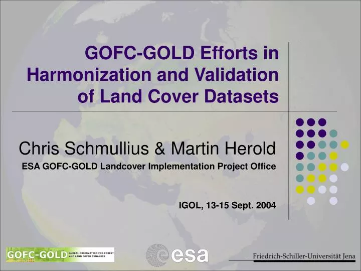
GOFC-GOLD Efforts in Harmonization and Validation of Land Cover Datasets . Chris Schmullius & Martin Herold ESA GOFC-GOLD Landcover Implementation Project Office IGOL, 13-15 Sept. 2004. GOFC GOLD introduction.

E N D
GOFC-GOLD Efforts in Harmonization and Validation of Land Cover Datasets Chris Schmullius & Martin Herold ESA GOFC-GOLD Landcover Implementation Project Office IGOL, 13-15 Sept. 2004
GOFC GOLD introduction Multifaceted international strategy to bring the Earth’sland cover under continuous operational observation Vision to share data, information and knowledge, leading to informed action and decision support Network of participants implementing coordinated research for global monitoring of terrestrial resources, global assessments and the study of global change Establishing international standards and protocols especially with respect to issues like validation
GOFC GOLD’s role • A Panel of the Global Terrestrial Observing System (GTOS) • A long term process of building an improved match between Observations, Data Products and User Needs Science community Space agencies Data “producer” GOFC GOLD Data “users” FAO/UNEP etc.
Implementation priorities 2nd GOFC GOLD land cover implementation team w/s, Jena, March 2004: • Harmonization of global and regional land cover products • Validation of global earth observation products • Adequacy and advocacy of earth observation in serving international conventions • Towardsoperational global observations of land • Support of new IGOL-theme • Strengthen international cooperations (e.g. regional networks)
Why harmonization? • Land mapping uses different standards • national maps, application specific, spectral classes • Compatibility and comparability • Within and between countries • Within and between applications and disciplines • From local to global scales • Required for successful • Improvement of mapping products • Validation of global datasets • Foster application: land change dynamics
Harmonization strategy • Originally strong push for single lc/lu legend • Too much standardization reduces application relevance of lc/lu maps • Standardizing terminology rather than categories • W/S: FAO/UNEP 1994, GOFC GOLD 2004 (Jena/Rome) • Implementation strategy : • Two working groups: cover and use • Find common language (LCCS) • Need for case studies • Impact on operational lc/lu data collection
LCCS Status and Use • LCCS-2: Software completed and ready for download September 2004 • Manual available September 2004, translations in French, Spanish and Arabic scheduled in the year 2005 • GOFC GOLD endorses LCCS • Feedback to improve LCCS • Translation of legends (start @ Rome w/s)
IGBP legend translation • Rome workshop • translations: • IGBP DIS • MODIS LC • MODIS Cont.Flds. • CORINE • GLC2000 • -> already in LCCS MODIS LC Workshop discussions LCCS Software
Forest areas in global land cover maps Forest definitions: IGBP legend : percent tree cover >60% / tree height >2m GLC2000 legend : percent tree cover >15% / tree height >3m
Differences for urban areas Shanghai Sao Paolo Sources of urban land: IGBP DIS – Digital chart of the world MODIS – MODIS(2000) + DMSP (1994/95) GLC2000 – DMSP (1994/95)
Forest cover from continuous field products Credit: M. Hansen/University of Maryland 0% 100% tree cover threshold
VCF can support harmonization of land cover data Credit: M. Hansen/University of Maryland 0% 100% tree cover threshold
GLOBCOVER Partnership: ESA - JRC Programs: GOFC/GOLD - IGBP Users: FAO, UNEP, UN Conventions (CCD, CB) Objectives: Global Land Cover Map in 2005 by using ENVISAT MERIS data at 300m (15 bands) Schedule: Definition phase Spring 2004 Invitation To Tender July 2004 KO December 2004 First Monthly Mosaic September 2005 GLOBCOVER V1 September 2006 GLOBCOVER V2 September 2007 Validation September 2008 Implementation: One European consortium industry/companies
GLC2000 versus GLOBCOVER GLC-2000 map at 1km res. LC map from MERIS at 300m res.
Validation of land cover datasets • GOFC GOLD fosters international effort to validate all existing global land cover products • Consistent with “Best Practices” identified by CEOS Land Cover Validation Working Group • Create „living“ dataset for future land cover products (e.g. GLOBCOVER) • Use of GOFC GOLD regional networks • Harmonization experiences are essential • LCCS provides the framework to translate the individual in situ interpretations • Frustration with lack of funding for validation