Download
1 / 6
60 likes | 72 Views
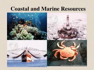
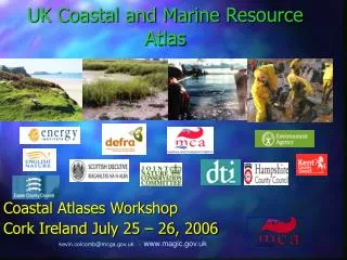
Dorset Atlases for Marine and Coastal Planning James Feaver Marine and Coastal GIS Officer Dorset Coast Forum www.dorsetcoast.com www.cscope.eu. Dorset Coast Forum Founded 1995 Aim to promote a sustainable approach to management, use and development of Dorset's coast and inshore waters

E N D
Dorset Atlases for Marine and Coastal Planning James Feaver Marine and Coastal GIS Officer Dorset Coast Forum www.dorsetcoast.comwww.cscope.eu
Dorset Coast Forum • Founded 1995 • Aim to promote a sustainable approach to management, use and development of Dorset's coast and inshore waters • A partnership of 240 organisations, 650 individuals – national / local government, commercial organisations and the voluntary sector. • Deliver innovative projects: • Dorset Coast Strategy internationally recognised and received a commendation from the Royal Town Planning Institute • The Dorset & East Devon World Heritage Site aka The Jurassic Coast
What is C-SCOPE? • Combining Sea and Coastal Planning in Europe • Three year project, part funded by the European Union Interreg IV A ‘2 seas programme’. Completion March 2012 • Collaboration between Dorset Coast Forum and the Coordination Centre for Integrated Coastal Zone Management in Belgium.
C-SCOPE has three key activities in Dorset: • 1. Creating a Marine Spatial Plan for a pilot area (c. 1000 km²) • Developing a GIS-based tool to support decision-making and planning in the marine and coastal zones (Coastal Explorer Planning). • 3. Producing an interactive map-based website for locals and visitors to plan recreational activities along the coast and within coastal waters (iCoast).
Dorset Coastal Atlases Demo Other Components Demo Demo
With special thanks to our funding partners and all our coastal stakeholders