Download
1 / 18
190 likes | 343 Views
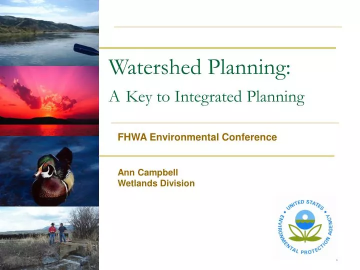
Watershed Planning: A Key to Integrated Planning. FHWA Environmental Conference Ann Campbell Wetlands Division. Watershed Planning. “Watershed Planning 101” EPA Watershed Programs Core Water Programs Estuaries and Specially Targeted Watersheds State progress in watershed planning

E N D
Watershed Planning:AKey to Integrated Planning FHWA Environmental Conference Ann Campbell Wetlands Division
Watershed Planning • “Watershed Planning 101” • EPA Watershed Programs • Core Water Programs • Estuaries and Specially Targeted Watersheds • State progress in watershed planning • What they are doing • How they are doing it • Locating watershed information
Watershed Planning 101 • A watershed is the area of land that drains to a common body of water like a lake, river, wetland, or estuary • Water quality and quantity reflect the uses of the water and physio-geographic characteristics in its watershed; therefore managing watersheds is both a people process (political) and multi- disciplinary scientific and technical challenge • Watershed Planning - planning to improve and maintain water resources in an area of land making up a watershed drainage area
Watershed Planning 101 • Involves leadership at all levels of government: • Cities – protect their drinking water • Statefish, game, and forest managers - maintain habitat for key species and help maintain water quality • Citizen watershed groups – protect and improve water quality for recreation and other uses • Conservation Districts and localgovernment – ensure adequate flows for agricultural and water quality for drinking and recreation • State, regional, and federalWQ agencies –protect water resources, reduce pollution levels, and implement TMDLs
Watershed Planning 101:Remaining Water Quality Challenges • Despite tremendous progress in tackling point sources since the 1972 Clean Water Act, many waterbodies are still not safe for swimming, fishing and drinking • Nonpoint source (NPS) pollution is the leading cause of impairment; 40% of Nation’s assessed rivers and streams do not meet basic uses such as fishing or swimming due in large part to NPS pollution • Human activities on the land—construction, agriculture, highways, lawns and gardens, etc.—impair water quality. • Problems demand a more comprehensive approach that looks at all stressors within hydrologically-defined boundaries
Watershed Planning 101Water Quality Impairment Examples: • California: 30,000 miles of impaired rivers and streams. • Leading cause of impairment: pesticides • Idaho: 31,000 miles of impaired rivers and streams. • Leading cause of impairment: sediment/siltation
Watershed Planning 101 • EPA’s Watershed Approach: • Hydrologically-focused • Involves all stakeholders • Strategically addresses priority water resource goals • EPA’s Role is primarily: • Providing a focus on water quality (chemical, physical, and biological integrity) using regulatory and voluntary tools of the Clean Water Act • Facilitating dialogue and discussion between states and local organizations (the on-the-ground watershed managers) and other federal agencies • Providing technical assistance and funding
Watershed Planning 101 • EPA promotes watershed planning – to find comprehensive and lasting solutions to water quality problems • Maintain public involvement and local leadership • To address nonpoint source (land based) pollution and coordinate point sources management • Protect drinking water • Restore impaired waters • To integrate various environmental data, monitoring, technical expertise, and funding • Find economical solutions (optimize control strategies, including potential trading opportunities)
Other EPA Initiatives Using a Watershed Approach • Other OW Initiatives • Watershed TMDLs • NPDES Watershed-permits • Phase II Stormwater Management • Combined Sewer Overflow planning • Mitigating wetlands losses in a watershed context • Promote a rotating basin approach • Encourage water quality trading on a watershed scale • Targeted Watersheds Grant Program
Why Should You Consider Watersheds? • Better environmental results • Saving time and money • Greater public support • Streamlining • Simplifying wetlands permitting • Greater flexibility
State Progress in Watershed Planning • Each state is unique, however, all states: • Collect water monitoring data and share it with EPA • Report the status of TMDL development to EPA Regions and the information goes into a national TMDL data base • Report on the status of Nonpoint Source watershed projects, including loadings of sediment, nutrients, and restored habitat • EPA Regions and states are tracking progress of watershed restoration and impaired water clean-up to meet GPRA Strategic Plan goals and objectives
State Progress in Watershed Planning • Progress is good and diverse • Some states have rotating basin programs for organizing monitoring and/or plan development, • OH, NC • Some states have strong bio-monitoring programs • MT, OH, MD • Some states are including Low Impact Development principles in watershed management • OR, WA, MD, WI • Some states have strong technical modeling capacity • PA, LA, WI • Some states have state-organized planning councils • ID, WA, MA
Community Watershed Efforts: Tools for Watershed Practitioners • Best Management Practices (BMPs) • Technical guides and databases for best water quality protection practices • Computer models to assist water quality management • Water quality databases and assessment tools • GIS-based tools • Modeling alternative land use practices
Locating Watershed Information • Although several EPA water programs have planning components and funding opportunities, developing and adopting a watershed plan remains challenging • Information on various water programs (e.g. data, tools, etc.) is difficult for S/T/L users to find in one place • Currently, persons interested in obtaining more information on existing watershed plans or features of the watershed itself must piece the information together
Watershed Plan Builder • Designed with you in mind • The application incorporates existing services and will incorporate future services as they are developed. • Using Enviromapper Geo-Services RADIMAGE and RADFEATURE. • Providing query string to National TMDL Tracking System • Providing query string to STORET. • Providing query string to Water Quality Standards. • Future: Incorporate additional Enviromapper and Envirofacts services to provide additional data and information.
Healthy Watersheds Support Healthy Communities