Download
1 / 21
210 likes | 434 Views
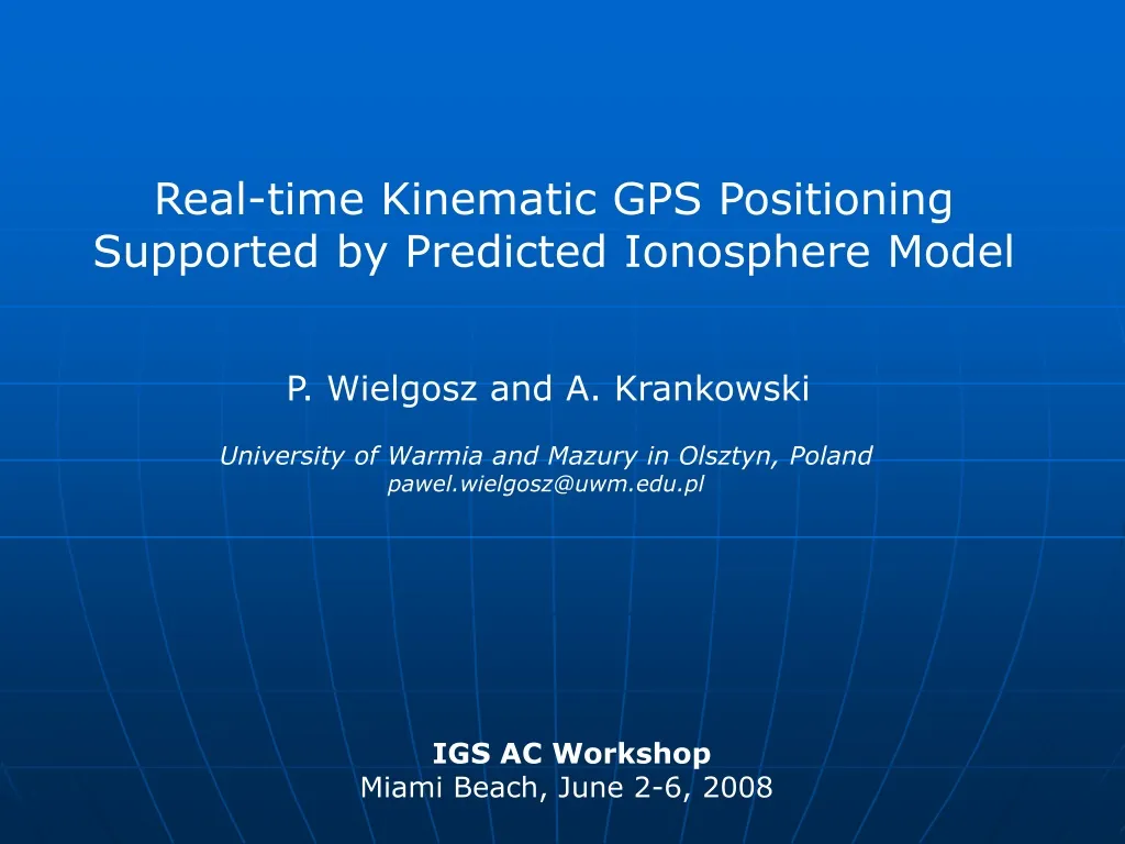
Real-time Kinematic GPS Positioning Supported by Predicted Ionosphere Model. P. Wielgosz and A. Krankowski. University of Warmia and Mazury in Olsztyn, Poland pawel.wielgosz@uwm.edu.pl. IGS AC Workshop Miami Beach, June 2-6, 2008. Research objectives ARMA method RTK positioning model

E N D
Real-time Kinematic GPS Positioning Supported by Predicted Ionosphere Model P. Wielgosz and A. Krankowski University of WarmiaandMazury in Olsztyn, Poland pawel.wielgosz@uwm.edu.pl IGS AC Workshop Miami Beach, June 2-6, 2008
Research objectives ARMA method RTK positioning model Experiment design Test results and analysis Conclusion Outline
Develop and evaluate methodology and algorithms for OTF-RTK positioning technique suitable for medium and long ranges 10-100 km Test applicability of predicted ionosphere models to support medium range OTF-RTK positioning Evaluate prediction model based on ARMA method Study the impact of the model accuracy on the ambiguity resolution (speed and reliability) Research Objectives
Methodology – ARMA prediction of real-valued time series Let yt for t =1, 2, …. , n be an equidistant stationary stochastic time series and yt+1 be the prediction at time t+1. The autoregressive-moving average process ARMA(p,q) is defined by the formula: where: i are autoregressive coefficients, i are the moving average coefficients,p and q are the autoregressive and moving average orders, i is a white noise process After introducing the backshift operator BK the process can be converted to :
Methodology – ARMA prediction of real-valued time series The ARMA forecast L steps ahead - the part of the operator containing only nonnegative powers of B * 10 previous days of the TEC values were taken for the prediction computation
Methodology – ARMA prediction of real-valued time series • Our previous studies showed that the TEC prediction for 1- to 3 hours ahead yields values very close to real, observed TEC (under quiet to moderate geomagnetic conditions) • After 3 hours the quality of the forecast diminishes very quickly • ARMA forecasting method is very simple and does not need any a-priori information about the process nor additional inputs such as, e.g., solar or geomagnetic activity indices Reference:Krankowski A., Kosek W., Baran L.W., Popiński W., 2005, Wavelet analysis and forecasting of VTEC obtained with GPS observations over European latitudes, Journal of Atmospheric and Solar-Terrestrial Physics, 67 (2005), pp. 1147 – 1156
Methodology – ARMA prediction of real-valued time series • GPS data from European IGS stations were used for TEC calculations • 10 previous days of the TEC values were taken for the prediction computation • Prediction for May 8, 2007 • Ionospheric conditions with max Kp=4o and sum of Kp = 22+ http://igscb.jpl.nasa.gov Test network area
Methodology – Positioning Adjustment Model Sequential Generalized Least Squares (GLS) • All parameters in the mathematical model are considered pseudo-observations with a priori information (σ = 0 ÷ ) • Two characteristic groups of interest: - instantaneousparameters (e.g., DD ionospheric delays)- accumulatedparameters (e.g., DD ambiguities) • Flexibility, easy implementation of: • stochastic constraints • fixed constraints • weighted parameters
Methodology – Positioning • MPGPS software was used for all calculations • Mathematical model uses dual-frequency code and phase GPS data • Unknowns: DD Ionospheric delays, Tropospheric TZD per station, DD ambiguities, rover coordinates • Tropospheric TZD calculated at the reference stations and interpolated to the rover location, tightly constrained in GLS • DD Ionospheric delays obtained from the ARMA forecast, constrained to 10-20 cm in GLS • Ambiguity resolution: Least square AMBiguity Decorrelation Algorithm (LAMBDA) • Validation: W-test - minimum of 3 observational epochs (for 5-second sampling rate) and W-test > 4 required for validation
Experiment • GPS data from ASG-EUPOS and EPN networks • 24-hour data set collected on May 8, 2007 with 5-second sampling rate • KATO station selected as a simulated user receiver (rover) • Ambiguity resolution was restarted every 5 minutes (288 times) • Maximum 5 minutes (60 epochs) for initialization allowed 25 km 67 km 50 km Map: www.asg-pl.pl
Experiment • 3 baselines of different length were processed independently (single baseline mode) and also in a multi-baseline mode (all baselines together) • predicted iono model was applied (1-2 hour forecast) • Time-to-fix was analyzed • Ambiguity resolution success rate was analyzed • Ambiguity validation failure ratio was analyzed • ”True” reference coordinates derived using Bernese software • IGS predicted orbits and clocks used (ultra-rapid) 25 km 67 km 50 km Map: www.asg-pl.pl
Test results DD Ionospheric correction residuals, KATO-TARG baseline – 25 km
Test results DD Ionospheric correction residuals, KATO-WODZ baseline – 50 km
Test results DD Ionospheric correction residuals, KATO-KRAW baseline – 67 km
Test results Kinematic position residuals (NEU), KATO-TARG baseline – 25 km
Test results Kinematic position residuals (NEU), KATO-WODZ baseline – 50 km
Test results Kinematic position residuals (NEU), KATO-KRAW baseline – 67 km
Test results Kinematic position residuals (NEU), multi-baseline 25, 50 and 67 km
Test results and analysis Ambiguity resolution statistics *minimum 3 epochs (15 seconds) required for validation
Conclusions • Cm-level horizontal kinematic position accuracy can be achieved using proposed methodology with dual-frequency GPS data over distances of tens of km • When the ionospheric correction accuracy is better that ½ cycle of L1 signal, fixed solution is possible just after a few observational epochs only • The ionosphere forecast model reduce ~ 40% of the ionospheric delay (its accuracy is limited by the base model) • The applicability of the presented forecast model is limited to the distances of 25-50 km in a single-baseline mode and to 60-70 km in a multi-baseline mode
Future Developments • Research on the level of stochastic constraints imposed on the ionospheric corrections • Too tight constraints cause false fixes • Too loose constraints make time-to-fix longer • Test prediction of more accurate ionospheric (base) models • Higher accuracy base models will also improve accuracy of the prediction, and hence, the predicted TEC level will be more beneficial to RTK positioning