Download
1 / 14
210 likes | 364 Views
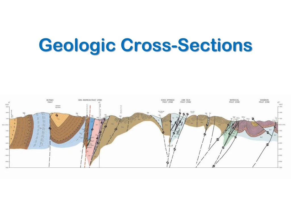
Geologic Cross-Sections. Cross Sections are Based on Surface and Sub-Surface Data. Sub-Surface Interpretation (3-D). Constructing a Cross-Section. choose a line of section (perpendicular to structures). Cross-Section Construction Cont …. 2. transfer topographic data

E N D
Constructing a Cross-Section • choose a line of section (perpendicular to structures)
Cross-Section Construction Cont… 2. transfer topographic data (topographic profile with no vertical exaggeration)
Structural Data – (Apparent) Dips 3. add structural data to the topographic profile
Add the Geology! 4. add geologic data (contacts) to the profile; dash in eroded structures above present-day topography
= apparent dip = angle between strike and apparent dip direction = true dip Apparent to True Dip Trigonometry
( ) Calculating Apparent Dip from True Dip
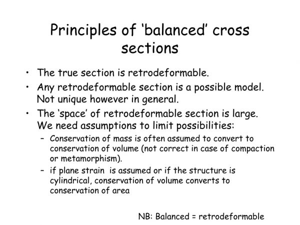
Cross Section “Rules” • calculate apparent dips of beds that are not perfectly perpendicular to your section line • DO NOT use vertical exaggeration • don’t extrapolate structural data too far from your section line • dash in eroded structures above the present-day topography • don’t extend dip data more than a few hundred meters in depth