Download
1 / 29
290 likes | 407 Views
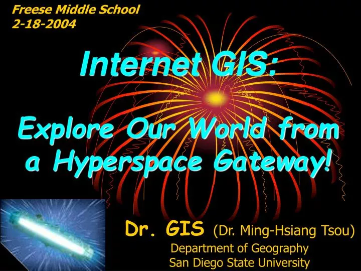
Freese Middle School 2-18-2004. Internet GIS: Explore Our World from a Hyperspace Gateway!. Dr. GIS (Dr. Ming-Hsiang Tsou) Department of Geography San Diego State University. GIS are Magic Sandwiches !. G eographic I nformation S ystems. San Diego GIS. < Soil Map Elevation >.

E N D
Freese Middle School 2-18-2004 Internet GIS: Explore Our World from a Hyperspace Gateway! Dr. GIS (Dr. Ming-Hsiang Tsou) Department of Geography San Diego State University
GIS are Magic Sandwiches ! Geographic Information Systems
San Diego GIS < Soil Map Elevation > < Streets Aerial Photos >
GIS can help you to Answer: • What are the best routes for your school bus in order to get everyone home the fastest? • The driving directions from your home to Disneyland ! • How to improve the water quality and protect our natural environment in San Diego.
GIS are inside Computers The GIS lab at Geography Department, SDSU.
Fun Facts: • Michael Jordan studied Geography at the University of North Carolina where he also became a famous basketball player! • The “Richest Geographer” is Jake Dangermond, the president of ESRI (the biggest GIS company), his privately owned company. ESRI has revenues of more than $469 million with 2,700 employees, and 99 international offices!
Fly through San Diego ! 3D GIS Demo
What is the Internet ? • Inter-networking (connecting different kinds of networks together) cable modems, DSL, dial-up…. • Sharing Information (showing pictures to your grandfather/grandmom) ! • The device for the Hyperspace Jump!
Francehttp://www.parc-vosges-nord.fr/http://212.95.67.44/website/PARC/viewer.htmFrancehttp://www.parc-vosges-nord.fr/http://212.95.67.44/website/PARC/viewer.htm
Mars !!!http://ltpwww.gsfc.nasa.gov/tharsis/ngs.htmlhttp://marsrovers.jpl.nasa.gov/home/index.html
Internet GIS can • Monitor the 2003 Wildfires in San Diego! • Combine Multimedia Maps and Virtual Reality ! • Provide mobile GIS applications (wireless communications) !
Fire Spread Animation (Hot Spots detected from Satellite Images)
Internet Map Server on notebook computer with wireless access port. Field workers: Pocket PC, GPS, and wireless card. Wi-Fi wireless communication (up to 300 feet) Mobile GIS Framework (Internet Map Servers, GPS, Wi-Fi, Pocket PC, Vehicle)
Autonomous Unit: Independent, Portable, Reliable Mobile unit mounted on a vehicle. Mobile unit with Portable Battery
User Scenario: Environmental Monitoring and Management Mission Trail Regional Park
A Vision for the Future • Internet GIS • Mobile GIS • Wireless Networks • NASA’s Vision (Video Play) • NASA Earth Science Enterprise • http://www.earth.nasa.gov
Thank You !!! • I am “Dr. GIS” • Questions and Answers ?