Download
1 / 31

E N D
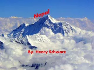
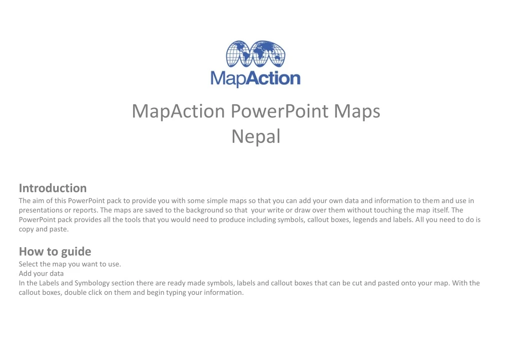
Introduction The aim of this PowerPoint pack to provide you with some simple maps so that you can add your own data and information to them and use in presentations or reports. The maps are saved to the background so that your write or draw over them without touching the map itself. The PowerPoint pack provides all the tools that you would need to produce including symbols, callout boxes, legends and labels. All you need to do is copy and paste. How to guide Select the map you want to use. Add your data In the Labels and Symbology section there are ready made symbols, labels and callout boxes that can be cut and pasted onto your map. With the callout boxes, double click on them and begin typing your information. MapAction PowerPoint MapsNepal
Country Maps Country wide maps showing Regions, Zones and Districts These are none editable with the image saved as part of the slide background
Country Maps Country wide maps showing Regions, Zones and Districts These maps are editable
FAR-WESTERN Dandeldhura Jumla MID-WESTERN Dhangarhi WESTERN Sallyan Baglung Pokhara Nepalganj Kathmandu Lalitpur CENTRAL Bhimphedi Bhairawa Hetauda EASTERN Ramechhap Birganj Ilam Rajbiraj Biratnagar ´ 0 50 km Nepal: Regions
Karnali Mahakali Dandeldhura Jumla Seti Bheri Dhangarhi Dhaulagiri Gandaki Rapti Sallyan Baglung Pokhara Nepalganj Bagmati Lumbini Kathmandu Lalitpur Mechi Bhimphedi Bhairawa Hetauda Narayani Ramechhap Koshi Janakpur Birganj Sagarmatha Ilam Rajbiraj Biratnagar ´ 0 50 km Nepal: Zones
Humla Darchula Bajhang Mugu Bajura Baitadi Dadeldhura Jumla Dandeldhura Jumla Kalikot Dolpa Doti Achham Mustang Kanchanpur Dailekh Jajarkot Kailali Rukum Manang Dhangarhi Surkhet Myagdi Salyan Baglung Kaski Bardiya Rolpa Gorkha Sallyan Lamjung Baglung Pokhara Rasuwa Pyuthan Banke Gulmi Syangja Nepalganj Tanahu Dang Nuwakot Sindhupalchok Arghakhanchi Palpa Dolakha Dhading Kathmandu Solukhumbu Kapilbastu Lalitpur Nawalparasi Sankhuwasabha Makawanpur Chitawan Taplejung Rupandehi Bhimphedi Bhairawa Hetauda Okhaldhunga Ramechhap Parsa Sindhuli Bhojpur Khotang Bara Udayapur Sarlahi Birganj Dhankuta Ilam Ilam Siraha Sunsari Morang Saptari Jhapa Rajbiraj Biratnagar ´ 0 50 km Nepal: Districts
Region maps Showing Zone and District boundaries These are none editable with the image saved as part of the slide background
Labels and Symbology General Symbols OCHA Symbols Callout Boxes Contents
Labelling Label Callout 1 Callout 2 Label in Italics Label in Bold Callout 3 Callout 4 LABEL IN CAPITALS Transparent Label Callout 5 Callout 6 Transparent Label in Italics Transparent Label in Bold Callout 7 Callout 8 TRANSPARENT LABEL IN CAPITALS Creation Date/ Time: Map Reference Number: Glide Number:
Legend Details Map Title Map Title Example Location: Subject Date Haiti: Department Reference Map Map Summary Map Summary Example The map summary (also Termed the abstract) is a block of descriptive text that provides a useful guide to a user whether or not they are looking at the map itself, a thumbnail or a non-graphical list of map products. The map summary (also termed the abstract) is a block of descriptive text that provides a useful guide to a user whether or not they are looking at the map itself, a thumbnail or a non-graphical list of map products. For example: The map background shows major settlements and Department boundaries. Additional Metadata Tags Additional Metadata Tags Examples Creation Date/ Time: Creation Date/ Time: 2010-10-10/ 1200 Map Reference Number: Map Reference Number: ABC123 Glide Number: Glide Number: Data Sources: Data Sources:
Specific Legends Physical Map Population Map Transport Map Settlements Map
Logos Logos of key organisations Contents
Logos Paste your logos here to use in the future
Weblinks Links to key maps and data sources Contents
Logos Map Sources Data Sources • MapAction - http://www.mapaction.org/ • Reliefweb - http://www.reliefweb.int/ • Reuters Alertnet - http://www.alertnet.org/ • UNOSAT - http://www.unosat.org/ Contents
Data Collection Waypoint Collection Sheet Contents
Remember that the GPS only records the WP numbers: you must also make a record of what these points represent (these are called the attributes). Some newer GPS receivers and other GPS-enabled devices such as hand-held computers allow you to enter attribute information by keying it into the device directly when you create a waypoint. By all means experiment with these, but you may find it awkward in a field environment to mess around with tiny keypads to enter information. A paper record as shown below often proves a more practical way to capture various kinds of information. You can use a notebook to record the attributes of WPs as you go along. Just write down the WP number, and what you want to record at that place. A better way is to use a purpose-designed form. At Appendix 2A is a copy of MapAction’s blank WP form for you to reproduce and use if you wish. Here is an example showing how the form can be used. Waypoint Collection Sheet How to use It is not essential that you use a recording sheet exactly like the one above, but whatever you do you must be able to record accurately the attributes for each waypoint you have saved with the GPS. Contents
PowerPoint Map Creation Basic Maps 1. Create base map in ArcGIS, using the PowerPoint_Map_Template found in - 2011-mm-dd-destination-BLANKv02\GIS\3_Mapping\37_PowerPoint_Maps_Basic.2. Ungroup metadata properties and edit the Scale.3. Regroup metadata properties. Set the frame properties as follows - Border - 1.0 point, Gap - X and Y - 5pt; Background - White, Gap - X and Y - 5pt.4. Export map as JPEG to - 2011-mm-dd-destination-BLANKv02\GIS\3_Mapping\37_PowerPoint_Maps.5. Open the PowerPoint Pack Template and locate the relevant slide. 6. Right click slide and select format background. 7. Select Fill>> Picture or texture fill>> Insert from>> File and select map jpeg. 8. Before applying check that the stretch options>> Offsets are all at 0%. 9. Click Close. 10. Save PowerPoint. Advance Maps 1. Create base map in ArcGIS, using the PowerPoint_Map_Template found in - 2011-mm-dd-destination-BLANKv02\GIS\3_Mapping\37_PowerPoint_Maps_Advance.2. Export map as EMF to - 2011-mm-dd-destination-BLANKv02\GIS\3_Mapping\37_PowerPoint_Maps. 3. Open the PowerPoint Pack Template and locate the relevant slide. 4. Select Insert>>Picture>>Select EMF File>>Insert.5. Resize map approximately.6. Right Click Image>>Group>>UngroupA dialog box with the following will show: "This is an imported picture, not a group. Do you want to convert it to a Microsoft Office drawing object?“7. Select Yes. 8. Make sure the whole map is selected and resize to fit slide.Each part of the map should now be clickable and editable.9. Save PowerPoint. Adding a border to the map.1. Click - Insert>>Shapes>>Rectangle. 2. Draw Rectangle around map3. Right click rectangle>> Format shape>>Fill>>No Fill4. In the Shape Format>> Select Line Color - Black or Grey5. In the Shape Format>> Select Line - Width 2pt6. Close Shape Format. MapAction User Guide Contents