Download
1 / 42
420 likes | 423 Views
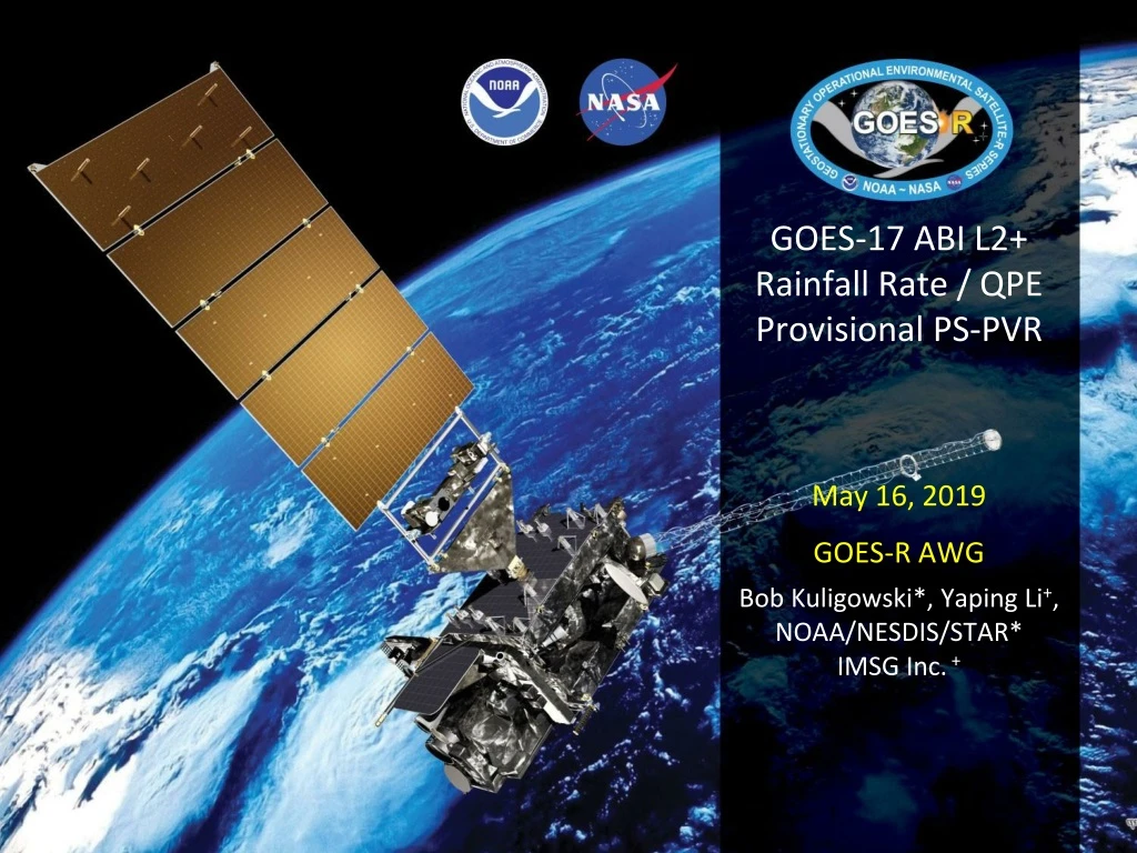
GOES-17 ABI L2+ Rainfall Rate / QPE Provisional PS-PVR. May 16, 2019 GOES-R AWG Bob Kuligowski*, Yaping Li + , NOAA/NESDIS/STAR * IMSG Inc. +. Outline. Product Overview Product Quality Evaluation General approach Limb Effects Provisional Maturity Assessment

E N D
GOES-17 ABI L2+ Rainfall Rate / QPEProvisional PS-PVR May 16, 2019 • GOES-R AWG • Bob Kuligowski*, Yaping Li+, NOAA/NESDIS/STAR* • IMSG Inc. +
Outline • Product Overview • Product Quality Evaluation • General approach • Limb Effects • Provisional Maturity Assessment • Path to Full Validation Maturity • Issues and status • Risks • Summary and Recommendations
GOES-17 Rainfall Rate / QPE L2 Product Provisional PS-PVR PRODUCT OVERVIEW
Product Overview The GOES-R ABI Rainfall Rate / QPE uses single-image data from five different spectral bands to retrieve estimates of instantaneous rainfall rate at the full IR pixel scale for the entire full disk. These five bands are transformed into 16 predictors, 8 of which are nonlinear transformations of the first 8: Separate pairs of predictors from this set are used for rain / no rain discrimination (linear only) and rain rate retrieval (both). NOTE: This product has no precedents; i.e., it uses only L1b radiances as input.
Product Overview Separate rain / no rain and rain rate retrieval equations were calibrated against microwave rain rates (CPC MWCOMB). The algorithm was designed to allow real-time updating of the calibration coefficients, but the operational code has a fixed set. Separate calibration equations were developed for each 30° latitude band and each of 3 different cloud types: • Type 1 (“water cloud”): T7.34 < T11.2 and T8.5-T11.2 < -0.3 K • Type 2 (“ice cloud”): T7.34 < T11.2 and T8.5-T11.2 ≥ -0.3 K • Type 3 (“cold-top convective cloud”): T7.34≥T11.2 The resulting rain rates are then adjusted to match the distribution of the calibration MW rain rates using LUTs based on PDF matching of the initial output rain rates with MWCOMB.
Product Overview: Specifications * Quantitative evaluation only for satellite zenith angles < 70° and latitudes equatorward of 60°
Review: Time-Line/Context • 1 March 2018 GOES-S Launch • 12 March 2018 GEO orbit attained (became GOES-17) • 3 May 2018 AWG established access to GS L2 products; qualitativeRRQPE L2 product validation begins. • 27 August 2018: RRQPE L2 product is declared Beta validated • 13 September 2018: 6-pixel N-S navigation shift between MW and LW IR bands fixed;quantitativeproduct validation at checkout position begins. • 24 October 2018: Drift from checkout position at 89.5°W begins; quantitative product validation at checkout position ends. • 13 November 2018: Drift to operational position at 137°W ends; quantitative product validation at operational position begins.
GOES-17 Rainfall Rate / QPE L2 Product Provisional PS-PVR Product quality evaluation
Provisional PLPT • Because of heating of the ABI Focal Plane Module (FPM) due to degraded Loop Heat Pipe (LHP) performance, the analysis is restricted to time periods where the FPM temperature < 81 K. • For simplicity, all data between 0500 UTC and 2000 UTC were ignored in this analysis.
Results of ABI-FD_QPE04 • At checkout position, spec is met vs. Q3 (CONUS) but not vs. DPR over the full disk • At the operational position, spec is not met vs. either data set
Results of ABI-FD_QPE04 • At checkout position, spec is met vs. Q3 (CONUS) but not vs. DPR over the full disk • At the operational position, spec is not met vs. either data set • BUT at 137°W during NH cool season when GOES-16 performs worse; expect better performance in warm season
Validation Results: 89.5°W Accuracy Precision Number of Data Points Operational G17 Algorithm (not including 0500-2000 UTC) Operational G16 Algorithm (not including 0500-2000 UTC) • Computed for pixels with retrieved rain rates of 9.5-10.5 mm/h for 13 September 2018 – 24 October 2019.
Validation Results: 137°W Accuracy Precision Number of Data Points Operational G17 Algorithm (not including 0500-2000 UTC) Operational G16 Algorithm (not including 0500-2000 UTC) • Computed for pixels with retrieved rain rates of 9.5-10.5 mm/h for 13 November 2018 – 17 April 2019.
Monthly Validation Results • The G17 algorithm met spec vs. MRMS Q3 (CONUS) while at 89.5°W but fails to meet spec at 137°W. • The G17 algorithm performance is worse than G16 vs. Q3 (CONUS) but actually slightly better vs. DPR (FD), though not good enough to meet spec. • Again, expect better performance during warm season
RRQPE Case Study0300 UTC 20 Feb 2019 GOES-17 GOES-16 MRMS Q3
Missed GOES-17 Rainfall0300 UTC 20 Feb 2019 GOES-16 GOES-17
RRQPE Classes0300 UTC 20 Feb 2019 GOES-16 GOES-17 “overshooting-top” “overshooting-top” “ice-top” “ice-top” “water-top” “water-top”
T11.2-T6.190300 UTC 20 Feb 2019 GOES-16 GOES-17 “overshooting-top” threshold = 0 K “overshooting-top” threshold = 0 K
T8.5-T11.2 0300 UTC 20 Feb 2019 GOES-16 GOES-17 “ice-top” threshold = -0.3 K “ice-top” threshold = -0.3 K
Differences in Viewing Angle GOES-17 Operational (75°W) GOES-16 Operational (75°W) Checkout Position (89.5°W)
Limb Effects Latitude-averaged (25-49°N) Tb differences between GOES-17 and GOES-16 vs. longitude at 0300 UTC 20 February 2019
Missed GOES-17 Rainfall0300 UTC 20 Feb 2019 GOES-16 GOES-17
Rain / No Rain Separation for Sample Points Class 11 (ice-top clouds; correct class) Class 12 (overshooting-top clouds; incorrect class)
GOES-17 False Alarms0300 UTC 20 Feb 2019 GOES-16 GOES-17
Rain / No Rain Separation for Sample Points Class 11 (ice-top clouds)
Correction for Limb Effects? • Joyce et al. (2004) developed a climatologically-based limb correction for GOES IR window channels • No equivalent correction exists for the WV bands • Much more difficult to develop for WV bands because of much higher sensitivity to WV content—climatological value would not be good enough so would need RT path-length TPW • The result would be highly computationally expensive
Top Level Summary of Product Quality The GOES-17 Rainfall Rate / QPE product performs at the same overall level as for GOES-16, but the greater limb darkening in the WV over the CONUS is degrading performance because of incorrectly classified rainfall. Consequently, the GOES-17 Rainfall Rate / QPE product does not meet spec either over the CONUS or over the full-disk. However, the operational-position evaluation was performed during the cool season when even GOES-16 does not meet spec over the CONUS; expect better performance during the warm season.
GOES-17 Rainfall Rate / QPE L2 Product Provisional PS-PVR PROVISIONAL MATURITY ASSESSMENT
Recommendation • AWG Hydrology Team recognizes that the GOES-17 Rainfall Rate / QPE product does not meet spec, but a mitigating factor is only being able to evaluate the product from operational position during the cool season. • AWG Hydrology Team still recommends declaring that it has reached Provisional Maturity as defined by the GOES-R Program • Users in the CONUS areas affected by GOES-17 limb cooling would presumably use GOES-16
Recommendation: Limb Mitigation • Modifying the calibration coefficients to account for limb effects over the CONUS would degrade performance elsewhere (e.g., Hawaii) • Developing a rigorous limb correction for the WV bands would require additional resources and significant operational computation time • Varying the BTD thresholds for cloud classification with satellite zenith angle will be explored for the Enterprise code • The Enterprise algorithm partially addresses this with 15x15-deg lat/lon calibration regions—limb effects are partially accounted for in calibration • Recommendation: wait until Enterprise algorithm deployment
Enterprise Algorithm Performance (GOES-16) • Have not run the Enterprise code on GOES-17 yet; still making changes for LHP mitigation. • Enterprise code meets spec on GOES-16 by a comfortable margin; should do for GOES-17 even if there is some limb-induced degradation.
GOES-17 Rainfall Rate / QPE L2 Product Provisional PS-PVR Path to DELTA Validation Maturity
Issues and StatusADRs Needing Resolution for Full VAL No outstanding ADRs at this time.
Path to Delta Validation - PLPTs • AWG Hydrology Team is modifying the Enterprise code to use only band 14 (since it is the most robust) whenever the FPM temperature exceeds a threshold value. • AWG Hydrology Team will work with ASSISTT and PRO to integrate the Enterprise code into operations. • AWG Hydrology Team will evaluate the L2 Rainfall Rate / QPE product quality on the Enterprise products for all time periods. • Full test plans and procedures are given in the Rainfall Rate / QPE Readiness, Implementation, and Management Plan (RIMP)
Path to Delta Validation – Risks Moderate Impact Little Impact Big Impact
GOES-17 Rainfall Rate / QPE Product Provisional PS-PVR Summary & Recommendations
Summary • The GOES-17 Rainfall Rate / QPE product performs at roughly the same level as the GOES-16 product over the full disk • However, limb cooling affects the rainfall type classification, which results in the wrong rain / no rain and rain rate equations being applied to pixels farther out on the limb • This in turn can produce false alarms or missed rainfall • Mitigation in the Enterprise code via SZA-dependent BTD thresholds will be explored • Mitigation in the GS is possible; however, it would divert resources away from the Enterprise algorithm transition and precede the Enterprise algorithm in operations by only a few months.
Recommendation • AWG Hydrology Team recognizes that the GOES-17 Rainfall Rate / QPE product does not meet spec, but a mitigating factor is only being able to evaluate the product from the operational position during the cool season. • AWG Hydrology Team still recommends declaring that it has reached Provisional Maturity as defined by the GOES-R Program • Users in the CONUS affected by GOES-17 limb cooling would presumably use GOES-16