Download
1 / 16
160 likes | 166 Views
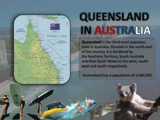
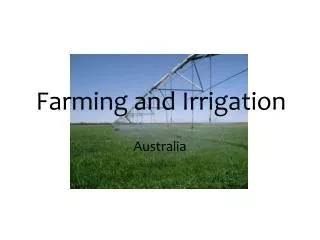
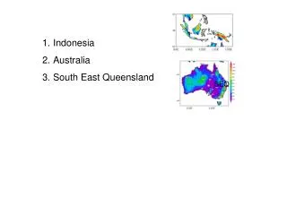
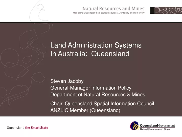
Land Administration Systems In Australia: Queensland. Steven Jacoby General-Manager Information Policy Department of Natural Resources & Mines Chair, Queensland Spatial Information Council ANZLIC Member (Queensland). Queensland – State sketch. 1.73M Sq Kms – 22.5% continent

E N D
Land Administration SystemsIn Australia: Queensland Steven Jacoby General-Manager Information Policy Department of Natural Resources & Mines Chair, Queensland Spatial Information Council ANZLIC Member (Queensland)
Queensland – State sketch • 1.73M Sq Kms – 22.5% continent • Population 4 Million (20% Australia) • Population growth 2.1%p.a. (highest) • Will be second largest State by 2010 (past Vic) • Local Governments • 125 Local Councils • 15 Aboriginal Councils • 17 Island Councils • Rateable Properties – 1,445,300 • Land Parcels – 2,660,900 • New Parcels – 55,000 p.a.
Queensland – State sketch… • Professional Surveyors – 820 • Valuers – 1397 • Freehold Tenure – 21% (area) • Leasehold Tenure – 68% (area) • National Parks – 4% (area) • Mining (Development) Tenures (area) • Minerals 0.35% • Coal 0.22% • Petroleum 1.24% • Registered Indigenous Land Use Agreements • 120 Qld 192 Aust.
Natural Resources & Mines • Leading Queensland’s stewardship of natural resources • Balance current demands on our natural resources with the sustainable needs of future generations • Working closely with other governments, industry & the community • Using integrated approach: land, water, mineral, petroleum, vegetation & cultural resources • Excludes Primary responsibility for: primary industries, environment, planning
National Co-operation Initiatives • Council of Australian Governments • Water Resource Management Reform • Water Trading – Water Licences to transferable water allocations • National Action Plan for Salinity & Water Quality • National Heritage Trust • ANZLIC – Spatial Information Council • Standing Committee on Land Administration • NSINS – National Spatial Information for National Security
Queensland – Positive Aspects • Significant investments in State LAS, integration in mature (land) systems • Automated Titles Registration (land & water) • Valuations & Sales (QVAS) • Land Asset Management System • Digital Cadastral Database • Robustness and integrated nature of Queensland’s legislative planning framework • Access to integrated government information – Information Queensland
Information Queensland • Access to Information • All appropriate information to be available to the public on-line (default) • $6.3M / 3 year program – Election Commitment • All Queensland Departments • Spatial & aspatial data • Free & fee • Public domain & restricted • 1.5M hits per month / 30% interstate / 76 Countries accessed the site last months
Queensland – Challenges • Complex interests of the 3+ tiers of government • Federal • State (25 Departments, 600 ‘entities’) • Local (158 local – including one big one, 15 Aboriginal & 17 Island Councils) • Regional Arrangements (15 Regional bodies) • Digital Cadastral Data Base • Spatial representation of the ‘cadastre’ • Maintained post registration (no pre-approvals) • Major users maintain at pre-registration • No 3D geometry
Queensland – Challenges… • Rights, Obligations & Restrictions • Significant changes in law governing land use over the last 20 years • 180 pieces of legislation in Queensland creating a ROR in land across all tiers (~15 on title) • Major Federal legislation • Native Title Act 1993 • Environmental Protection & Biodiversity Conservation Act 1999 • State legislation • Water Act 2000 • Vegetation Management Act 2004 • Manage Public perception of ‘Land Ownership’
Approaches we’re using • Queensland has imposed strict regulatory, compliance and penalty regimes • Now seeking to transition to a cooperative or partnership model between land owners & govt • Doing that through: • Consultation & collaboration with stakeholders • Establishing landscape – property level planning instruments that achieve sustainable outcomes • Introducing incentive programs (eg $12m Vegetation IP)
Queensland & the LAS model • Integrated vision – triple bottom line agreed • Policy focus – is on land management outcomes not land administration • Eg. Vegetation Clearing Ban • Science & research plays as important role as land information in policy formulation • Require a very broad view of land… • Water, Vegetation, Minerals, Cultural resources • Institutional arrangements are complex • Largely State based • Multi agency (and levels of government) • Access to information and engagement in the policy development process is critical
Next 10 years… • Access to all appropriate information by the public is achieved • E-services • All RORs discoverable on a parcel in Queensland • Public is engaged in consultation, decision-making and policy development process • E-democracy • If not one tier of government… • Made Federated system work (max positives) • Sharing, authentic data, ICT Service oriented approaches…