Download
1 / 8
80 likes | 90 Views
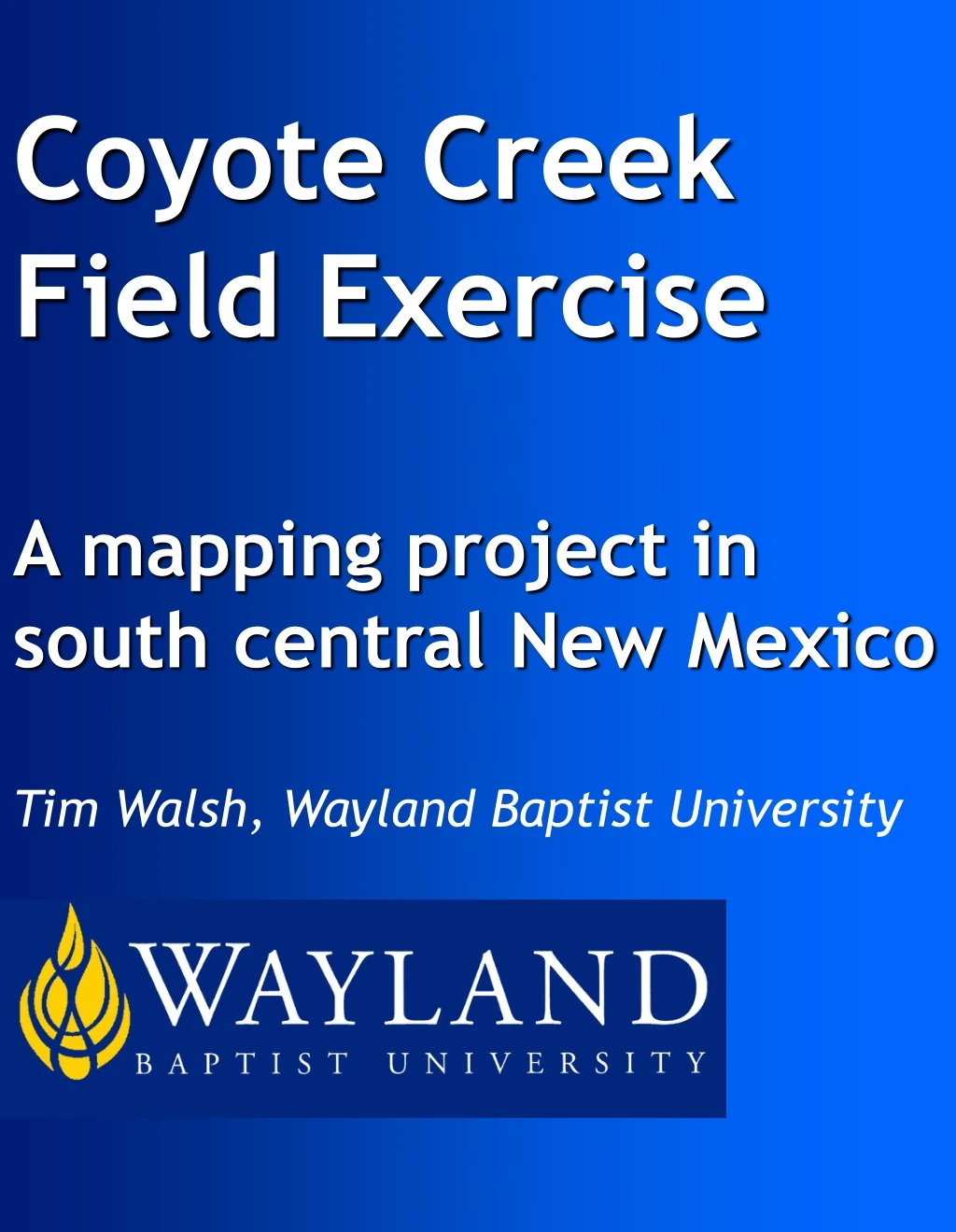
Coyote Creek Field Exercise A mapping project in south central New Mexico Tim Walsh, Wayland Baptist University. Abstract.

E N D
Coyote Creek Field Exercise A mapping project in south central New Mexico Tim Walsh, Wayland Baptist University
Abstract Students are required to make field observations, collect data and then create a detailed geologic map and report for a small area (approximately 1 sq. mile) on the edge of the Tularosa Basin in south central New Mexico. This exercise focuses on application of previously learned material through data collection and analysis and also preparation of appropriate reports and maps. Students are observing a variety of geologic phenomenon in the field and must not only recognize and catalog what they see, but place it in both spatial and temporal context. Students must be able to use basic field instrumentation such as Brunton compasses and GPS units. Data collection and organization skills are needed. Small group dynamics may be emphasized, but are not required. The preparation of reports and maps requires writing and graphic arts skills. Figure 1. View of outcrop in Northeastern section of Coyote Creek Area.
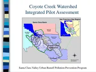
Study Area The study location is a relatively small area (approximately 1 sq. mile) on the edge of the Tularosa Basin in south central New Mexico. The study area is located within the Tularosa NE, New Mexico quadrangle, but maps from the Cat Mountain quadrangle to the East are also useful. Figure 2. Location of the Tularosa Basin and study area. Figure 3. Location of the Coyote Creek Area north of Tularosa, NM.
Regional Geology The Tularosa Basin is an asymmetric graben in the basin and range area east of the Rio Grande River in south central New Mexico. It lies between the Sacramento Mountains on the east and the San Andres/Oscura Mountains to the west. There are thousands of feet of late Paleozoic basin fill which have been intruded with various tertiary volcanics. This closed basin is part of the Rio Grande Rift zone. Several unique geologic features are present in the basin, such as White Sand National Monument (extensive gypsum dune)s and Valley of Fires Recreation Area ( large basaltic lava flows). Figure 4. General cross section of Tularosa Basin along line A-A’ as shown in Figure 2.
Local Geology Gently dipping carbonate and siliciclastic beds (Figures 1 & 8), igneous intrusions (Figure 9), bioherms (Figure 7) and a normal fault are present in the study area along Coyote Creek, a few miles north of Tularosa, NM. The creek generally runs parallel to dip, allowing relatively easy access to inclined strata. Carboniferous bioherm(s) are are exposed in the lower section. Several dikes are present, running both parallel and perpendicular to sedimentary bed strike. One is very non-resistant to weathering, creating unusual troughs as it passes through a carbonate bioherm. A sill is present in the upper section and a North/South trending normal fault roughly parallels strike of sedimentary beds (Figure 6 ). Figure 5. Topographic map illustrating a section of Tularosa NE, NM quadrangle.
Figure 6. Location of geologic features in Coyote Creek area. Figure 7. Student examining bioherm.
Figure 8. Students making observation along upper section of Coyote Creek. One of the dikes is visible at top center of the image. Evaluation Evaluation takes place both in the field during data collection and later upon review of completed maps and reports. The instructor is “in the area” and observes students during field activities, sometimes with active dialogue as when posing questions about specific geologic features or their notes, sometimes viewing their work from a distance. Maps and reports are judged on regular criterion such as completeness, terminology, accuracy, etc.
Conclusion The Coyote Creek area provides students with a challenging field exercise with a variety of geologic features present in a small, easily accessible area. Figure 9. Exposure of non-resistant dike. References Topographic maps (TularosaNE and Cat Mountain quadrangles) http://sar.lanl.govmaps_by_name.html Preliminary quadrangle level geologic maps. http://geoinfo.nmt.edupublicationsmapsgeologicofgm Huff, Glenn F. (2005) "Simulation of Ground-Water Flow in the Basin-Fill Aquifer of the Tularosa Basin, South-Central New Mexico, Predevelopment through 2040" Scientific Investigations Report 2004-5197, United States Geological Survey, Washington, D.C., (Figure. 2.and fig. 4)