Download
1 / 19
190 likes | 312 Views
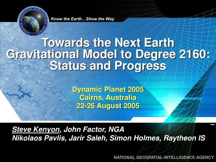
Towards the Next Earth Gravitational Model to Degree 2160: Status and Progress. Dynamic Planet 2005 Cairns, Australia 22-26 August 2005. Steve Kenyon , John Factor, NGA Nikolaos Pavlis, Jarir Saleh, Simon Holmes, Raytheon IS. Earth Gravitational Model 2006.

E N D
Towards the Next Earth Gravitational Model to Degree 2160: Status and Progress Dynamic Planet 2005 Cairns, Australia 22-26 August 2005 Steve Kenyon, John Factor, NGA Nikolaos Pavlis, Jarir Saleh, Simon Holmes, Raytheon IS
Earth Gravitational Model 2006 • CHAMP and GRACE satellite gravity missions • 100x improvement in the accuracy with which large regional features of the gravitational field can be modeled • Need for higher-resolution model of the gravitational field and geoid • 5’ x 5’ resolution • n=m=2160 • 15 cm global RMS accuracy goal for geoid
EGM96 30’x30’ resolution 50 cm RMS accuracy 70 x 70 error propagation 40 satellites used for long ’s 30 M surface gravity values 29 elevation codes 130 K coefficients EGM06 5’x5’ resolution 15 cm RMS accuracy 2160 x 2160 error propagation CHAMP and GRACE used for long ’s 52 M surface gravity values SRTM, ICESAT 4.7 M coefficients Progression of EGMs
EGM06 Geoid Goals • EGM06 Geoid Error Goal - 15 cm Global RMS • 5 cm commission error from GRACE out to n=m=100 • 3 cm omission error beyond 2160 following Kaula's Rule • NGA’s detailed gravity data are expected to meet an ~14 cm geoid commission error requirement for degrees 101-2160
EGM06 Geographic Accuracy Breakdown • Ocean areas with good altimetric data: from +/- 5 cm to +/- 10 cm • Land areas with good surface gravity data: from +/- 10 cm to +/- 15 cm • Land areas with poor surface gravity data: from +/- 15 cm to +/- 50 cm • Land areas with no surface gravity data: from +/- 50 cm to +/- 120 cm
UNCLASSIFIED Data Collection Methods
Statistics of 5’x5’ g (v081005) Source Area Min. Max. RMS ArcGP 4.0 186.0 235.6 31.3 8.1 Altimetry 67.0 -360.4 377.9 29.2 3.1 Terr. 15’ 18.0 -284.5 443.8 42.3 6.1 Fill-in 3.2 -196.9 256.4 32.3 24.6 Actual 5’ 78.8 -360.4 669.8 29.6 3.6 All 100.0 -360.4 669.8 32.3 6.0 (, ) 19.5, 293.5 19.5, 204.5 The Fill-in anomalies for v081005 have decreased from 16.7 to 3.2 of the world compared to PGM2004A
SRTM World Coverage Map Coverage between latitudes 60 N - 54 S 80% of the Earth’s landmass
KMS 2002 2’x2’g RMS = 2.9 mgal in comparison with NGA’s “Best” Marine 5’x5’ File
GPS/Leveling Comparisons (±2 m edit threshold) Weighted Mean Std. Deviation (cm)
GPS Leveling Comparisons over Some Areas with New g Statistics before bias removal. 2 m edit applied.
Upcoming EGM06 Activities • Spherical harmonic synthesis software will be made available at end of 2005 • Official EGM06 project software • Provides ability to efficiently compute geodetic quantities to n=m=2160 • Test sets to be provided • Available thruhttp://earth-info.nga.mil/GandG/ • Validation of new EGM06 • GPS/leveling, orbits, DOVs, etc. • International participation is welcome • Spring 2005 timeframe leading to final EGM06 selection
Summary • EGM06 is planned for June 2006 • New surface and airborne gravity collected until Jan 06 • Goal of EGM06 is 15 cm • n=m=2160 • 5’x5’ resolution • Latest GRACE model, Surface Gravity, Satellite Altimetry, SRTM and ICESAT data will be utilized • Error Propagation to n=m=2160 • 5’x5’ gravity data from unsurveyed areas is welcome