Download
1 / 36
360 likes | 624 Views
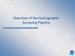
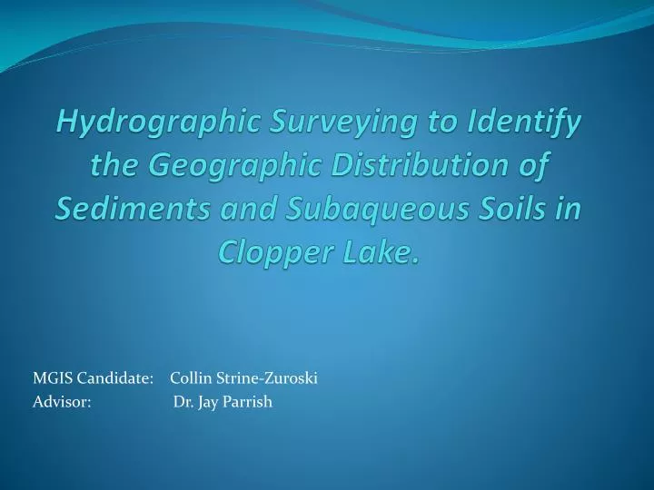
Hydrographic Surveying to Identify the Geographic Distribution of Sediments and Subaqueous Soils in Clopper Lake. MGIS Candidate: Collin Strine-Zuroski Advisor: Dr. Jay Parrish. Clopper Lake. Located in Seneca Creek State Park in Montgomery County, MD.

E N D
Hydrographic Surveying to Identify the Geographic Distribution of Sediments and Subaqueous Soils in Clopper Lake. MGIS Candidate: Collin Strine-Zuroski Advisor: Dr. Jay Parrish
Clopper Lake • Located in Seneca Creek State Park in Montgomery County, MD. • Dam built in 1975. • Lake Created for Recreation and Flood Control. • 86.70 Acres.
Clopper Lake: Then and Now 1974 2010 *Photos Courtesy of Gaithersburg, Then and Now: http://www.gaithersburghistory.com. Pictures are reproduced here for educational purposes only.
Outline: • Goals • Mapping Sediment Deposits • Bathymetric Mapping • Sub-Bottom Profiling • Data Analysis • Sediment Calculations • Mapping Subaqueous Soil • Landform Identification • Boolean Overlay • Additional Analysis • Timeline
Goals: • Map the geographic distribution of sediment deposits that have accumulated in the lake. • Identify the location of potential subaqueous soils capable of supporting plant life.
Creating Bathymetric Contours: • Hydrolite-TM Single Beam, Sonar Transducer Figure 2 Figure 3 Figures 2 and 3 acquired from http://www.globalspec.com/reference/66292/203279/10-10-gps-for-seafloor-mapping and http://www.seafloorsystems.com/hydrolite_tm.html respectively, and have been reproduced here for educational purposes only.
Bathymetric Data • 39,013 Data Points • Transducer Draft (0.85 feet) added to all raw depth soundings.
Calculations • 63,819,030.011 Cubic Feet of Water • 1,465.08 Acre Feet of Water • Mean Depth=15.97 Feet • Deepest Point= 44.92 feet
Sub-Bottom Profiling • Method for imaging marine sediment layers. • Active acoustic sensor (10Khz). • A portion of the induced acoustic signal penetrates the lake bottom and a small portion is reflected back each time it reaches the boundary of two layers with different acoustic impedance.
Subaqueous Soils (SAS) • Soils that form in shallow water environments and are capable of supporting plant life. • Usually found in water less that 2.5meters (8.20 feet) deep**. • Found in both fresh and saltwater environments. • Relatively new field of Pedology (soil science). • Important distinction between subaqueous and submerged soils.
Potential Additional Analysis: • Side Scan Sonar • Image Existing Plant Life in lake. • Determine if areas with depths greater than 2.5 meters are currently supporting plant life. Images Courtesy of: http://texasfishingforum.com/forums/ubbthreads.php/topics/3143150/LOWRANCE_SIDE_IMAGING_ANNOUNCE and are reproduced here for educational purposes only.
Timeline: 4-6 Weeks • Continue to process data and identify the distribution of Subaqueous soils in the lake. • Complete side-scan survey to produce a more comprehensive map of existing aquatic plants. • Refine report and produce final presentation. • Final Presentation 2-4 Weeks Sept/Oct
Special Thanks To: • Exploration Instruments • Seafloor Systems, Inc. • Hypack, Inc. • URS Corporation • Dr. Jay Parrish • Dr. Patrick Drohan
References: • Bradley, M.P. and M.H. Stolt. (2002). “Evaluating methods to create a base map for a subaqueous soil Inventory”. Soil Sci., 167: 222-228. • Rabenhorst, Martin C. "Case Study: Soil Mapping in Chincoteague Bay Maryland." N.p., n.d. Web. 12 June 2012<http://nesoil.com/sas/16_Rabenhorst_Soil_Mapping_Chincoteague_Bay_MD.pdf>. • Rubinstein, Michael I. "LIDAR FOR SUBAQUEOUS AND TERRESTRIAL SOIL LANDSCAPE." University of Maryland, n.d. Web. 5 June 2012 • Turenne, Jim. "Subaqueous and Submerged Soil Information Sheet." Subaqueous and Submerged Soil Information Sheet. N.p., n.d. Web. 24 May 2012. <http://nesoil.com/sas/sasinfo.htm>. • USDA-FSA-APFO Aerial Photography Field Office (2010). NAIP09 - National Agricultural Imagery Program 2009 1 meter Nat Color. Salt Lake City, Utah. URL: <http://dnrweb.dnr.state.md.us/gis/data/> • U.S. Department of Agriculture, Natural Resources Conservation Service (2006). Digital General Soil Map of U.S. Tabular digital data and vector digital data. Fort Worth, Texas. URL:<http://SoilDataMart.nrcs.usda.gov/>
Questions? Contact Information: Collin Strine-Zuroski cps170@psu.edu Collin.strine.zuroski@gmail.com (412) 335-0294