Download
1 / 11
110 likes | 225 Views
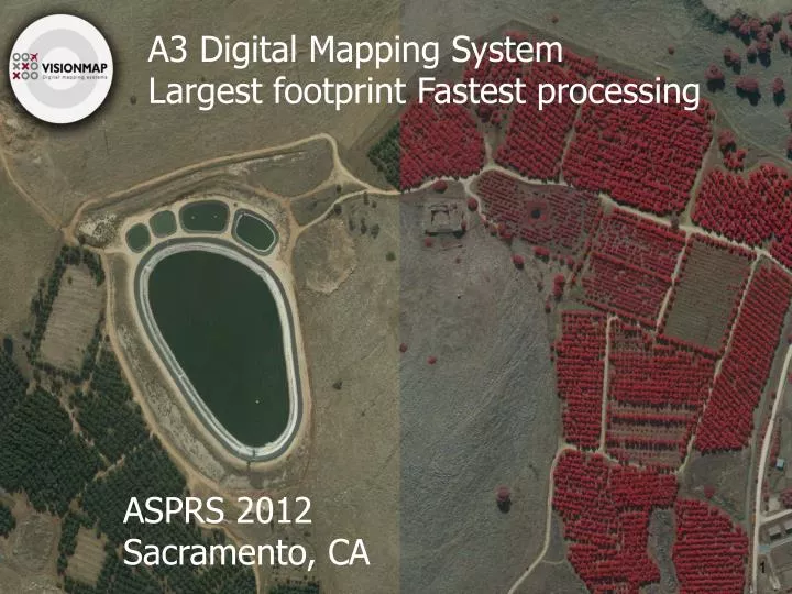
A3 Digital Mapping System Largest footprint Fastest processing. ASPRS 2012 Sacramento, CA. What’s Required?. “We had less good weather days last year” – Larger coverage is needed. “We need to turn around the data two weeks after we started flying” – Faster processing is required.

E N D
A3 Digital Mapping System Largest footprint Fastest processing ASPRS 2012 Sacramento, CA
What’s Required? “We had less good weather days last year” – Larger coverage is needed. “We need to turn around the data two weeks after we started flying” – Faster processing is required. “We need dense surface model” – Surface models for large areas are required when not already available. “Can we do obliques efficiently?” - New requirements for photogrammetric products emerge.
A3 Delivers • A3 family features the largest pixel footprint across track- • A3 Edge covers 80,000 pixels across • A3 covers 60,000 pixels across • A3 Core covers 40,000 pixels across • LightSpeed features the fastest processing • Quick turn around of data • Multiple products • One workflow operated by a lean team
Thank You! www.visionmap.com