Download
1 / 9
90 likes | 234 Views
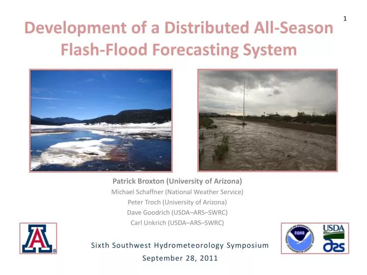
1. Development of a Distributed All-Season Flash-Flood Forecasting System. Patrick Broxton (University of Arizona) Michael Schaffner (National Weather Service) Peter Troch (University of Arizona) Dave Goodrich (USDA–ARS–SWRC) Carl Unkrich (USDA–ARS–SWRC).

E N D
1 Development of a Distributed All-Season Flash-Flood Forecasting System Patrick Broxton (University of Arizona) Michael Schaffner (National Weather Service) Peter Troch (University of Arizona) Dave Goodrich (USDA–ARS–SWRC) Carl Unkrich (USDA–ARS–SWRC) Sixth Southwest Hydrometeorology Symposium September 28, 2011
Introduction • Improve upon existing Flood and Flash Flood Forecasting Models • Goals of current efforts • Develop a modeling system to account for overland flow, catchment wetness, and snow - Process based - Distributed - Continuous - Easily Calibrated
Model Description • Leverages the KINEROS and SM-HSB models Shortwave Radiation • KINEROS is an event model that describes overland flow and channel routing (Kinematic Wave Routing) Precipitation Longwave Radiation Evapotranspiration • SM-hsB is a continuous model that describes snow (Energy Balance Model), soil moisture (Root Zone Model), and subsurface flow (hillslope-Boussinesq Model) Canopy Interception Runoff Channel Routing Snow Infiltration • Both models are distributed with high spatial and temporal resolutions - Baseflow, runoff (infiltration excess and saturation excess) from SM-hsB are routed using KINEROS Baseflow
Model Description • KINEROS/SM-hsB is more than just a model, but an integrated system that ingests data, runs the KINEROS and hsB models, and visualizes results • Programming in Matlab (HSB) and Fortran (KINEROS) • Distributed as standalone, freely distributable, executables (created using Matlab Compiler Runtime) to perform the following: Process Spatial Data Past Simulations for Calibration/ Evaluation Real-Time Modeling 1) Assimilate Real-Time Data 1) Assimilate Past HydrometeorologicData 2) Calibrate Model 2) Run Real-Time Model Visualize Results As timeseries’ of model states As a webpage
Processing Spatial Data • Model has been set up to run in the W. Br. Delaware Basin, located in the Catskill Mountains of southeastern New York • Spatial data is either downloaded from the internet (e.g. DEM), generated using GIS (e.g. aspect map), or generated within KINEROS/SM-hsB (e.g. weighting scheme to go back and fourth between grid cells and hillslopes) • Automated Geospatial Watershed Assessment Tool used to discretize watersheds -42.50 Legend Spatial Data from USGS: - DEM - Canopy Coverage Map - Vegetation Type Map - Impervious Surface Map Spatial Data from NRCS: - SSRUGO soils map GIS Preprocessing - Slope Map - Aspect Map - Locations of WSR-88D Radar Bins - Watershed Discretization (AGWA) USGS Stream Gauge Delineated Stream Town Brook Watershed Boundary Delaware River Delhi Delineated Hillslope -42.375 Model Grid Cell Latitude (deg) East Brook Delaware River Walton Platte Kill -42.25 -42.125 -75.125 -75.00 -74.875 -74.75 -74.625 -74.50 -75.25 Longitude (deg)
Past Simulations for Calibration/ Evaluation • Forcing data is from the National Land Data Assimilation System (NLDAS) and the Multisensor Precipitation Estimator (MPE). • NLDAS provides Temperature, Pressure, Incoming Radiation (Shortwave + Longwave), Precipitation Estimates, humidity at 1/8 degree. Derived from NARR reanalysis, Bias corrected radiation, gauge-only precipitation • MPE provides precipitation estimates using gauge + radar data on 4 km grid • Snow water equivalent (SWE) estimates from the Snow Data Assimilation System (optional) to compare to snow model. • SNODAS data combines model estimates with ground, airborne, and satellite measurements of snow • USGS Streamflow data to validate KINEROS/SM-hsB discharge estimates
Past Simulations for Calibration/ Evaluation 5.0 mm • Calibration occurs in various steps 104 103 3000 km HSB Aquifer 102 Baseflow (mm/day) 101 • Automated baseflow analysis 100 Down- Slope Aquifer Height/Unit Storage 10-1 Deep Aquifer 10-2 • Automated calibration of HSB model (to find characteristic response, which is applied to each pixel in a watershed individually) Catchment Width 0 10 20 30 40 50 Effective Time HSB Storage HSB Discharge 100 90 Simple Storage Aquifer Storage (mm) Simple Discharge Aquifer Storage (mm) 60 50 - Subsequent calibration of snow, radiation, evapotranspiration, infiltration, and runoff parameters involves changing parameters a few at a time and iterating (optionally fully automatic, manual, or a combination of both). 30 0 0 0 0 20 20 40 40 60 60 80 80 100 100 120 120 140 140 160 160 180 180 200 200 Day of Simulation 250 Aquifer Heights along Width Function 200 75th Percentile HSB 50th Percentile HSB 150 25th Percentile HSB Aquifer Height (mm) 75th Percentile Simple 50th Percentile Simple 100 25th Percentile Simple 50 0 Day of Simulation
Real Time Modeling • Forcing data is from the National Digital Forecast Database and the Multisensor Precipitation Estimator (MPE). • NDFD provides estimates of forecasted temperatures, humidity, precipitation, cloud cover (updated hourly) • MPE provides near real-time precipitation estimates (updated hourly) • Data comparison using USGS streamflow and Recent Estimates of SWE (either observed or from SNODAS) • Model Forecasts 24 hours in advance using NDFD quantities • Assimilation of 1 km X 1 degree WSR-88D radar data (under development) • Ability to update model states
Real Time Modeling • Real-Time hydrometeorologic data is automatically downloaded continuously (NDFD) or when the model is run (MPE, Streamflow, SNODAS) • Model runs automatically every hour (using a task scheduler) utilizing newly downloaded hydrometeorologic data (can be manually run more frequently during events) • Model output is transmitted over the internet using a web page • Available model visualizations include historical model data (previous slide) current hydrograph with stage and flood information (bottom left), and distributed estimates of soil moisture (bottom right) and SWE (not shown) • This real-time output is available online at: http://newims.hwr.arizona.edu/DelewareBasinModel/