Download
1 / 23
230 likes | 413 Views
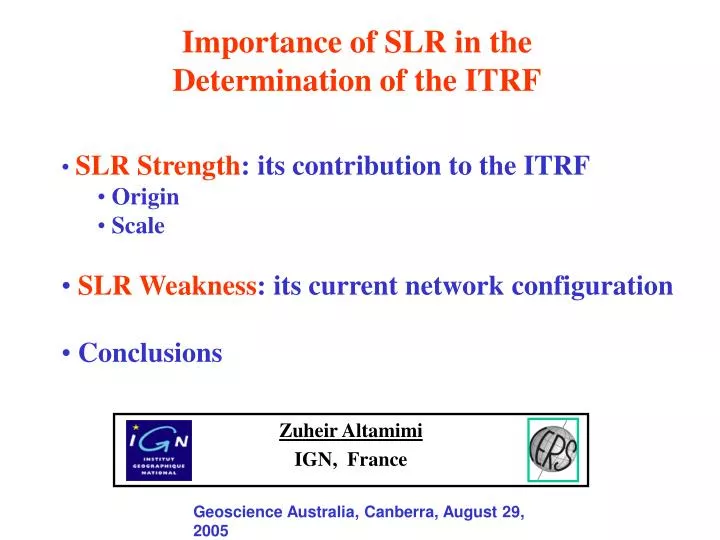
Importance of SLR in the Determination of the ITRF. SLR Strength : its contribution to the ITRF Origin Scale SLR Weakness : its current network configuration Conclusions. Zuheir Altamimi IGN, France. Geoscience Australia, Canberra, August 2 9 , 2005.

E N D
Importance of SLR in the Determinationof the ITRF • SLR Strength: its contribution to the ITRF • Origin • Scale • SLR Weakness: its current network configuration • Conclusions Zuheir Altamimi IGN, France Geoscience Australia, Canberra, August 29, 2005
International Terrestrial Reference System (ITRS) Adopted by IUGG in 1991 for all Earth Science Applications • Realized and maintained by the International Earth Rotation and Reference Systems Service (IERS) • Its Realization is called International Terrestrial Reference Frame (ITRF) • Set of station positions and velocities, estimated by combination of VLBI, LLR, SLR, GPS and DORIS individual TRF solutions More than 800 stations located on more than 500 sites Available: ITRF88, 89,…,97 Latest: ITRF2000 http://www.ensg.ign.fr/ITRF/
ITRF Datum Definition • Origin : SLR • Scale : VLBI & SLR • Orientation : Conventional • Orientation time evolution: NNR condition • Science Requirement : 0.1mm/yr
Current ITRF Status • ITRF2000: ~ 4 years old • New GPS & DORIS stations since 2000 • Longer histories ==> Improve velocities • Methods for time series combination recently developed
SLR Network Since 93 From 99 on
Current Co-locations (1999 on) (9) (59) (16) (2)
Current VLBI-SLR Co-locations (1999 on) (9) Inhomogeneous distribution of VLBI&SLR Networks and their Co-locations ITRF Scale in danger !!!
Current SLR-DORIS Co-locations (1999 on) (7) Only 7 SLR-DORIS Co-locations
ITRF2004 • For 1st time, use Time Series of Station Positions : • Daily (VLBI) • Weekly (GPS, SLR & DORIS) • and Earth Orientation Parameters: Polar Motion (xp, yp) Universal Time (UT1) (Only from VLBI) Length of Day (LOD)
Quality of SLR GEOS time series With Yarragadee Without Yarragadee
SLR Origin and Scale time series wrt ITRF2000 With & Without Yarragadee
SLR Origin and Scale time series wrt ITRF2000 With & Without Yarragadee
Geodetic Signal ? SLR GPS
Conclusions • SLR is the unique technique currently capable to ‘’see’’ the Earth CoM • But SLR suffers from its weak network geometry • SLR stations with long history are absolutely needed for the long term maintenance of the ITRF origin • Effect when Yarragadee observations are not used: • Results seem to be slightly more scattered when Yarragadee data is removed • Drift changes: • Delta TX = 0.6 mm/yr • Delta TY = 1.0 mm/yr larger than science requirement • Delta TZ = 1.0 mm/yr • No significant change in the scale