Download
1 / 29
330 likes | 655 Views
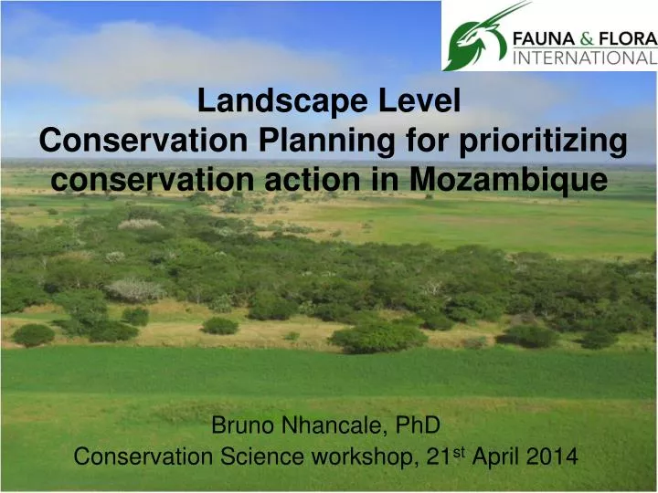
Landscape Level Conservation Planning for prioritizing conservation action in Mozambique. Bruno Nhancale, PhD Conservation Science workshop, 21 st April 2014. Introduction. Biodiversity loss is mainly due to habitat degradation and species over-exploitation.

E N D
Landscape LevelConservation Planning for prioritizing conservation action in Mozambique Bruno Nhancale, PhD Conservation Science workshop, 21st April 2014
Introduction • Biodiversity loss is mainly due to habitat degradation and species over-exploitation. • Protected areas (PAs) are a cornerstone to reduce biodiversity loss. • Nevertheless: • Significant proportion of biodiversity is located outside of PA. • Insufficient to cover all critical ecological processes
Ad-hoc actions/establishment of PAs • Ad-hoc disadvantages: • Leaves some species, communities, or ecosystems without protection. • Makes biodiversity representation more expensive. • New tools: Landscape level conservation planning
Landscape level conservation planning • Representativeness – Persistence – Economy
Landscape level conservation planning assessment for Maputaland
Maputaland centre of endemism is a region of approximately 17,000km2. • Is part of the Maputaland-Pondoland-Albany biodiversity hotspot.
Landscape level conservation planning approach • Identifying and sub-dividing the planning region into a number of planning unit polygons;
Landscape level conservation planning approach • Identifying and sub-dividing the planning region into a number of planning unit polygons; • developing a list of conservation features, such as important species and habitats;
Choosing the conservation features Environmental surrogates for Maputaland Landcover map containing 32 landcover types Divided into 11 biogeographic zones
Choosing the conservation features Species in Maputaland • Range-restricted species • Keystone species • Wide-ranging species • 20 vertebrates, 13 invertebrates, 20 plants
Choosing the conservation features Ecological processes in Maputaland • River systems • Areas large enough for natural fire regimes • Areas large enough for natural herbivory (elephants) • North-South and East-West corridors
Landscape level conservation planning approach • Identifying and sub-dividing the planning region into a number of planning unit polygons; • developing a list of conservation features, such as important species and habitats; • setting representation targets for how much of each feature should be protected;
Setting targets in Maputaland • Minimum viable population estimates for some species. • Estimated proportion of meta-population for some species. • Habitat targets derived from species-area curves for landcover types (Desmet & Cowling, 2004). • Statutory targets for forest types (when higher than targets based on species-area curves.
Landscape level conservation planning approach • Identifying and sub-dividing the planning region into a number of planning unit polygons; • developing a list of conservation features, such as important species and habitats; • setting representation targets for how much of each feature should be protected; (iv) determining the amount of each feature found in each planning unit; (v) assigning a cost value to each planning unit, based on whichever constraint is relevant to the analysis, e.g. financial value or opportunity costs, and;
Setting cost values in Maputaland Threat of habitat transformation Based on historical patterns of agricultural clearance, soil fertility, elevation etc.
Setting cost values in Maputaland Patterns of harvesting natural resources • Bark is widely (12.7%) harvested for use as traditional medicine. • - Trees that were close to agriculture, close to roads and on low elevation were more likely to be affected by bark harvesting.
Landscape level conservation planning approach • Identifying and sub-dividing the planning region into a number of planning unit polygons; • developing a list of conservation features, such as important species and habitats; • setting representation targets for how much of each feature should be protected; (iv) determining the amount of each feature found in each planning unit; (v) assigning a cost value to each planning unit, based on whichever constraint is relevant to the analysis, e.g. financial value or opportunity costs, and; (iv) using computer software to identify portfolios of these units that meet the representation targets whilst minimising planning unit costs
Running the Analysis with Marxan software Best portfolio Selection frequency
Combining terrestrial and freshwater data conservation assessment for Maputaland
Divide de region in to sub-catchments. • Produced 127 units • Mean= 139.80 ± 28.6 Km2
Hierarchical Classification ofSub-catchments Elevation zones (m) High ≥ 400 Mid >200 & ≤ 400 Low ≤ 200
Flow accumulation High ≥ 0.6 Mid >0.3 & ≤ 0.6 Low ≤ 0.3 Risk High ≥ 0.5 Mid >0.2 & ≤ 0.5 Low ≤ 0.2
According to the existence of • rivers or lakes: • No water bodies • With rivers • With lakes • According with endangered freshwater species (IUCN Freshwater Red Data List)
Freshwaterassessment FreshwaterandTerrestrialAssessment
Conservation Planning approach and prioritization of conservation action • With limited human and financial resources and so many habitats and species in need of protection is important to deciding where to act. • Use of selection frequency (irreplaceability scores) to prioritize actions at species and/or site level. • Use expert opinion the refine priorities. • - Include Socio-Economic Assessment (e.g. Sustainable Livelihoods Framework approach).
Landscape Level Conservation Planning approach and priority conservation action • Identify Key Biodiversity Areas (KBAs) for Biodiversity Offsets or development compatible land-uses. • Develop regional (fine-scale) or National (coarse- scale). • Update regularly the planning system.