Download
1 / 20
200 likes | 378 Views
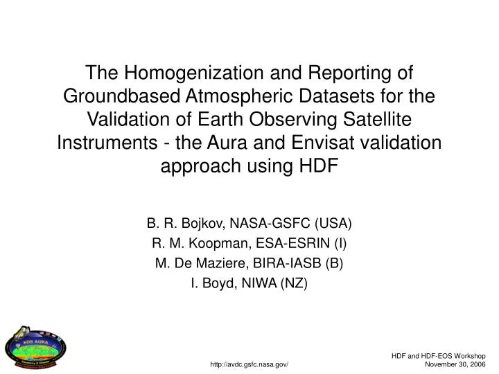
The Homogenization and Reporting of Groundbased Atmospheric Datasets for the Validation of Earth Observing Satellite Instruments - the Aura and Envisat validation approach using HDF. B. R. Bojkov, NASA-GSFC (USA) R. M. Koopman, ESA-ESRIN (I) M. De Maziere, BIRA-IASB (B) I. Boyd, NIWA (NZ).

E N D
The Homogenization and Reporting of Groundbased Atmospheric Datasets for the Validation of Earth Observing Satellite Instruments - the Aura and Envisat validation approach using HDF B. R. Bojkov, NASA-GSFC (USA) R. M. Koopman, ESA-ESRIN (I) M. De Maziere, BIRA-IASB (B) I. Boyd, NIWA (NZ) http://avdc.gsfc.nasa.gov/
Outline • Context (and some history) • Implementation for Envisat and Aura • Future activities http://avdc.gsfc.nasa.gov/
Why did we do this for atmospheric sciences? (from the perspective of validation) http://avdc.gsfc.nasa.gov/
Near-real-time ozonesondes • Ensuing from European Arctic campaigns in the 1990’s • ~35 stations reporting • operational NRT and scientific • All stations uses NASA-Ames • “simple” ASCII • More than 18 file variations • nomenclature and formulations • Clear need of homogenization http://avdc.gsfc.nasa.gov/
The problem is accentuated: • Different measurement networks • LIDAR, MWR, FTIRs, UV-Vis instruments, etc. • Different platforms • Groundbased, aircraft, balloon, ship, in-situ, etc. • Different agencies • “Dialog” across timezones, reporting facilities, etc. http://avdc.gsfc.nasa.gov/
So, in 1996/1997… • Near impossible to use effectively for research or tools/RDB/web implementations • Need to resolve this “file reporting ” problem by investigating/understanding the state of affairs in the field • First objective: satellite validation of atmospheric chemistry instruments • up and coming ESA and NASA missions http://avdc.gsfc.nasa.gov/
COSE • COSE - Compilation of atmospheric Observations in support. of Satellite measurements over Europe • European Commission (EC) funded project • Consortium of 25 groundbased and satellite teams • Timeline: 1998-2000 http://avdc.gsfc.nasa.gov/
COSE (2) • Approach: • Investigated existing file formats, usage, community needs in consultation with the different stake-holders • Recommendations: • Defined fixed file formulation: HDF4 (SDS) • Rigid metadata, including strict guidelines for attributes requirements, variable naming, etc. • Make files truly homogeneous and self explanatory • Final document by Bojkov et al., 2002 (available through AVDC) http://avdc.gsfc.nasa.gov/
Basic HDF4 SDS file layout • Global attributes: 31 attributes • Data source / contact information • Dataset contents / location / … • File generation date / version / caveats / … • Attributes for each SDS: 19 attributes • Variable description / notes / caveats • Dependencies / dimensions • Units / SI conversion factor / Valid min. & max. / Fill values • Display attributes (label, axis, …) http://avdc.gsfc.nasa.gov/
Global attributes Variable attributes http://avdc.gsfc.nasa.gov/
Variable naming convention • Variable name construction: 3 part construction VARIABLE_NAME + VARIABLE_MODE (+ VARIABLE_DESCRIPTOR) • Example: • The variable name for O3 measured by an O3sonde and a Brewer spectrometer are: O3_CONCENTRATION for the ozonesonde O3_VERTICAL.SOLARfor the Brewer in direct sun mode O3_VERTICAL.ZENITHfor the Brewer in Umkehr mode • The RMS for a FTIR ozone measurement can be expressed as: O3_VERTICAL.ZENITH_UNCERTAINTY.RMS http://avdc.gsfc.nasa.gov/
Similar conventions for • Attribute entries • Instrument naming • File names • … http://avdc.gsfc.nasa.gov/
First Implementation: ESA • Spring 2000: ESA Envisat mission was is it’s final validation planning: • 10 instruments, focus on land, atmosphere and oceans. • ESA required: • Fully relational database for calibration and validation • File “QA/QC” on all incoming files • Specifically COSE concept, including HDF 4, to be implemented for atmosphere and ocean instrument validation http://avdc.gsfc.nasa.gov/
Envisat Cal/Val • Implemented in October 2000 • Meets all ESA requirements, including QA and the RDB • 200+ users, intercontinental participation • Backbone of the coordinated validation efforts of 3 atmospheric and 2 ocean instruments • Data sources collected from ship-based to satellites • Extended to other Envisat/ESA validation activities (2004) • One issue: heterogeneous reporting • the ozonesonde problem was back! http://avdc.gsfc.nasa.gov/
2004-present • EOS-Aura validation activities • The Network for Detection of Atmospheric Composition Change (NDACC - former NDSC) http://avdc.gsfc.nasa.gov/
Aura Validation Data Center • Support the NASA EOS-Aura mission • 4 atmospheric instruments • troposphere to mesosphere measurements • Share validation communities with Envisat • AVDC uses the same concept/approach as Envisat • Maintain Envisat files compatibility • Operational since October 2004 • ~300 users - many new participants • ~2TB validation data http://avdc.gsfc.nasa.gov/
AVDC modifications • Refined file and metadata requirements through thorough analysis of Envisat Cal/Val in early 2004 • Eliminate common user errors and misconceptions • Added HDF5 implementation (user request due to HDF5 satellite data) • Implemented rigid measurement reporting templates • Collaborative effort with NDACC • Measurement specific and defined by expert community • Results in truly homogeneous files • Document describing changes by Bojkov et al., 2006 available through AVDC web site http://avdc.gsfc.nasa.gov/
Future of the AVDC/Envisat implementation • AVDC refinements are being implemented into Envisat Cal/Val • AVDC/Envisat format being phased into NDACC network • LIDAR, MWR, FTIR completed • AVDC concept to be extended to NASA A-train (and most probably NPP wrt validation data) • Format is ESA requirement for ESA/EC GMES program • To be extended to land and radar altimetry • NASA and ESA to remain synchronized http://avdc.gsfc.nasa.gov/
Closing remarks • This type of work takes time • Began in 1998, and will be ongoing • Requires proactive involvement by all parties • Validation teams, instrument PIs, satellite teams, … • Requires rigid guidelines - down to the measurement level • Once implemented, it is extremely useful for all involved as experienced for the Envisat and Aura missions when validation relies on very different data sources http://avdc.gsfc.nasa.gov/
bojan.bojkov@gsfc.nasa.gov http://avdc.gsfc.nasa.gov/ http://avdc.gsfc.nasa.gov/