Download
1 / 18
180 likes | 328 Views
The Howard University Beltsville Research Campus Highlights from the Recent Wind Lidar and Water Vapor Experiments : February - March 2009. B. Demoz, D. Venable, T. Bacha: Howard University B. Gentry: NASA/GSFC H. Chen, K. Vermeesch: SSAI, MD G. Koch, U. Singh: NASA/LaRC

E N D
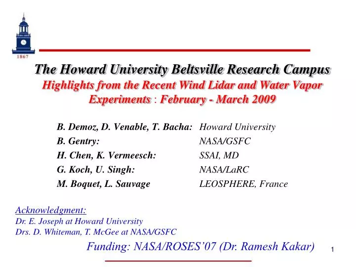
The Howard University Beltsville Research CampusHighlights from the Recent Wind Lidar and Water Vapor Experiments : February - March 2009 B. Demoz, D. Venable, T. Bacha: Howard University B. Gentry: NASA/GSFC H. Chen, K. Vermeesch: SSAI, MD G. Koch, U. Singh: NASA/LaRC M. Boquet, L. Sauvage LEOSPHERE, France Acknowledgment: Dr. E. Joseph at Howard University Drs. D. Whiteman, T. McGee at NASA/GSFC Funding: NASA/ROSES’07 (Dr. Ramesh Kakar)
Outline HU-Beltsville Research Campus (HUBRC): Broad goals Location and Instrumentation Recent Experiments: FYI: Water Vapor and Temperature (WAVES/N-WAVES) Howard University Wind Lidar Experiment Goals Highlights of comparisons Historical Wind Data at IAD Summary: Things yet to be done
Broad Goals of Beltsville Field Site Enhance capacity of HU to conduct research Facility for hands-on student training Contribute to national and international climate and environmental monitoring activities PBL (observation, parameterization, forecast) Climate observations and satellite validation (GRUAN, AIRS/TES, NDACC) Pollution studies (MDE) Lidar (Wind, Aerosol, Water Vapor/Raman) Radiosonde sensor evaluation (NWS)
PSU Location • Semi-urban site (not “pristine”) • Major Pollution corridor • Integrate Science and Education • Extensive instrumentation • Great place for collaboration • Diverse weather conditions Major Pollution Transport corridor MDE UMBC BWI Airport HUB NOAA UMD GSFC Dulles Airport Sterling (NWS) Wallops National Airport UVA
Aerial View: HUBRC Office/Shops/Labs Profiler MDE C-Band Radar Full Air Quality Rad. (~BSRN) GPS (X2) Ceilometer MWR (2) MWR(39) All Sky 31 Met Tower HURL ALVIS AT GLOW Ceilometer 8-levels T/RH Flux, Net rad Soil Moisture Chemistry PDB RSOS CORS Lidar Laboratory Latitude: +39º 03’ 15.117’’ Longitude: -76º 52’ 39.448’’ Elevation: 53.2 m Area = 110 acres
N-WAVES Experimenthttp://tropometrics.com NDACC-WAVES_2009 * Technology and calibration development for UT/LS water vapor profiling using Raman Lidar * Starting of climatology of UT/LS water vapor using lidar + sonde at BV for climate change studies Instruments: * HURL: Howard Univ. Raman Lidar (q) * ALVICE: GSFC Raman Lidar (Whiteman; q, T) * AT: GSFC Raman Lidar (McGee; q, T) * STROZE-LITE (McGee; Ozone) Funding: NASA/ROSES07 Atmospheric Composition (K. Jucks)
Howard University Wind Lidar Experiment ACARS 915MHz Profiler NASA GSFC GLOW LEOSPHERE WLS70 GOALS • Lidar wind in various aerosol loading (pollution, cirrus, etc) • Develop seasonal data archive for lidar wind • Demonstrate the VALIDAR - GLOW wind concept • Compare lidar wind to other sensors (Profiler, sonde, AMDAR, etc).
Howard University Wind Lidar Experiment ACARS 915MHz Radar Profiler NASA GSFC GLOW LaRC VALidation LIDAR Goddard Lidar Observatory Winds LEOSPHERE WLS70 Wind Experiment Period N-WAVES Experiment Period
ACARS_Profiler_sondeAircraft Meteorological DAta Relay (AMDAR) 915MHz Radar Profiler Commercial aircraft observations - winds and temperature - water vapor, turbulence (recently) • Positive impact of AMDAR on weather forecast. • 3-hr wind forecast error reduced by 40% (overall improvement of 11%) • 12-hr wind forecasts of winds improved by 5% • http://www.wmo.int/amdar/Publications/Final%20Production%20AMDAR%20Flyer.pdf Substantial Variability between AMDAR, Sonde and Profiler in Speed in Direction below 6km.
ACARS-GLOW: Example • These seem to be “atmospheric” variations.
LEOSPHERE WLS70www.leosphere.com LEOSPHERE WLS70 Horizontal Wind speed Wind direction Vertical Wind speed • Output: • Laser power: 20 microjoules • Vr, CNR (line of sight, ~1Hz) • U, V, W, Vh, Direction (~1Hz) • Vhm, Dirm, Um, Vm, Wm, every 10 min UTC +1
GLOW-Sonde = sonde altitude at time of lidar measurement. Assumes rise rate of 5 m/s.
GLOW-VALIDARExample: 24 Feb. 2009 • Good correlation in the overlap region • Good correlation with Sonde
Historical Wind Data AnalysisSingle station (IAD) – Balloon Summary • Jet altitude varies by ~ 2.5km • ~ 250 m res (10%) • ~ 25m/s variation in 1-yr • 2.5 m/s res (10%), monthly average.
Summary/Conclusion – To do list • Completed of 1st GLOW/VALIDAR Experiment • Continue GLOW/VALIDAR/other analysis • Start lidar wind versus optical depth work • Plan for a 2nd GLOW/VALIDAR deployment ($$?) • PBL: WRF/Lidar/Profiler/Sonde work in progress • Complete LEOSPHERE WLS70 performance study • Check Sonde-to-sonde wind variability • Lidar winds during Cold fronts/LL-Jets • Collaborate with Regional OSSE work (Z. Pu et al.) • Lidar humidity/temperature/wind offers a 1st look at UTLS structure
END THANK YOU
ACARS (Aircraft Communications, Addressing, and Reporting System) is the name of a data link service provided by Aeronautical Radio, Inc. that sends data between aircraft and ground stations • MDCRS (Meteorological Data, Collection and Reporting System) is the weather portion of the ACARS data stream provided by seven major U.S. air carriers • TAMDAR (Tropospheric Airborne Meteorological DAta Reporting) data are provided by a private company, AirDat, who uses regional air carriers • Aircraft Meteorological DAta Relay (AMDAR) is the preferred term by the WMO and NWS.