Download
1 / 13
130 likes | 238 Views
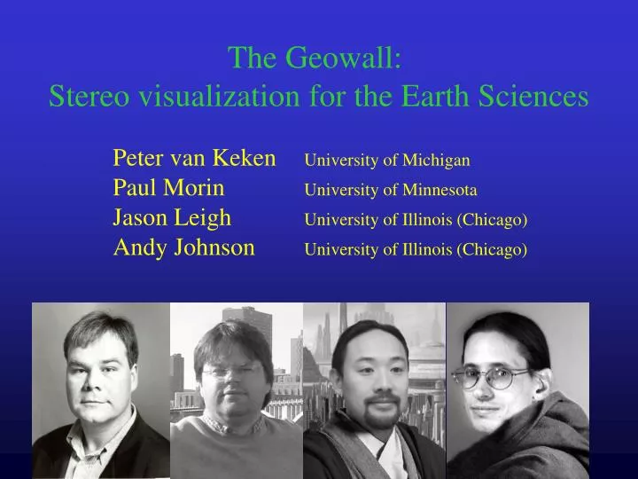
The Geowall: Stereo visualization for the Earth Sciences. Peter van Keken University of Michigan Paul Morin University of Minnesota Jason Leigh University of Illinois (Chicago) Andy Johnson University of Illinois (Chicago). Goals. Develop affordable stereo projection technology

E N D
The Geowall: Stereo visualization for the Earth Sciences Peter van Keken University of Michigan Paul Morin University of Minnesota Jason Leigh University of Illinois (Chicago) Andy Johnson University of Illinois (Chicago)
Goals • Develop affordable stereo projection technology • Create interfaces to standard applications and data sets • Improve data querying • Develop (inter)national base of users and developers: the Geowall consortium www.geowall.org
Linearly polarizing filters for passive stereo $60 Pair of bright DLP projectors $6000 Projector stacker for proper alignment $500 Linux/Windows/MacOsbox with fast graphics card (Nvidia GeForce4, Quadro4) $2000 Students Tools • The Agave/Geowall stereo projection system priceless
70 40 June ‘02 Sept. ‘02 Number of GeoWalls
Funding within UM Geological Sciences • LS&A: first UM geowall & content development • Geological Sciences: web server & miscellanea • NSF-Information Technology Research: software development proposal with EVL at UIC
Sampling of applications • Anything to do with structure and dynamics: • Seismology: earthquakes and tomography • Geodynamics: convection and mixing • Paleontology: CAT scans, digi-bones • Stereopairs: • Photography, maps, movies • GIS: • Data layering on topography
Seismology: earthquakes and tomography
Use in the classroom Prof. Kacey Lohmann • GS117 Physical Geology • GS440 Field camp • GS420 Geophysics (and extensive use at Minnesota, Arizona State)
Other Geology sites • Minnesota (TC&Duluth) • Arizona State • Indiana • Fond du Lac tribal and community college • Wisconsin (Madison) • USGS (Menlo Park and Eros data center) • Southern California Earthquake Center (Earthscope) • UC San Diego