Download
1 / 25
250 likes | 408 Views
Meteo 3: Chapter 5. Satellite and Radar Imagery. Remote Sensing. In-situ measurements expensive and lack spatial coverage Need instruments and platforms to observe large portions of the atmosphere quickly Passive remote sensors: Radiometers Active remote sensors: Radar. Satellite Basics.

E N D
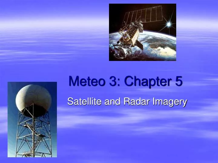
Meteo 3: Chapter 5 Satellite and Radar Imagery
Remote Sensing • In-situ measurements expensive and lack spatial coverage • Need instruments and platforms to observe large portions of the atmosphere quickly • Passive remote sensors: Radiometers • Active remote sensors: Radar
Satellite Basics • Used to see clouds (and other phenomena) • Passive remote sensors • observes without being in direct contact • collects energy emitted or scattered by object • Two relevant types (others we won’t worry about) • Geostationary- orbits Earth 22,500 mi above ground over equator at same rate Earth rotates • GOES- Geostationary Operational Environmental Satellite • Polar-orbiting- orbits pass over the poles • Solves GOES problem of being unable to accurately “see” pole • Can only see small swaths of Earth on each pass
Satellite Orbits Current Satellite Orbits
Radiometer- measures visible light reflected off clouds/objects (albedo)…very sensitive to differences in reflected visible light Useful only during day Visible Satellite Imagery
Thin cirrus duller than thick cumulonimbus because cirrus has a much lower albedo Distinguishes between thick (bright) & thin (dull) clouds Thin vs. Thick Clouds
Animations help (show motion & evolution of weather systems) Rivers visible? Clouds vs Snow
Senses infrared radiation emitted by clouds and other objects between 10-12μm Useful at all times Infrared Satellite Imagery
Low clouds appear gray, high clouds bright Temperature decreases with height => E=σT4 => more infrared radiation emitted from low clouds than high clouds Measures emitted radiation, or temperature, differences Cold objects are bright, warm are grey High vs Low Clouds
Measures infrared radiation emitted at 6.7 μm…water vapor emits strongly here Can only sense water vapor in mid-upper troposphere…water vapor emission below will be absorbed Dark spots dry in upper troposphere, bright are moist Water Vapor Imagery
Radar Imagery • Radio Detection and Ranging • Active remote sensor • emits pulses of electromagnetic energy (microwaves), then measures how much scattered back off targets (precipitation, insects, mountains, etc.) • Distance of echo from radar determined by considering elapsed time between radar emitting radiation and it returning, as radiation travels at speed of light • Detects precipitation in reflectivity mode • intensity of returned energy depends on number, size, and composition of targets • the more & the larger the targets, the higher the reflectivity…if targets are rain, the rainfall rate is greater
Next Generation Radar D stands for Doppler 175 mi range WSR-88D or NEXRAD
Snowflakes have smaller reflectivities than similar-sized raindrops
Doppler Radar • Johann Christian Doppler noticed change in pitch (frequency) of sound as source moved away or toward stationary observer • frequency of radiation off target is changed if target is moving • faster the speed toward or away, the greater the frequency change • for radar, these frequency changes translate into wind speeds and directions toward or away from radar site
Doppler Schematic www.colorado.edu/physics/2000/applets/doppler2.html
Tornado Vortex Signature • Present as early as 20-30 minutes before tornado