Download
1 / 11
260 likes | 1.4k Views
Photo Mosaic and Orthophoto. Dr. M. M. Yagoub

E N D
Photo Mosaic and Orthophoto Dr. M. M. Yagoub Department of GeographyFaculty of Humanities and Social SciencesUnited Arab Emirates UniversityP. O. Box 17771, Al-Ain United Arab EmiratesTel: 00971-3-7064-674 (O)Tel: 00971-3-7612-316 (H)Fax: 00971-3-7671-706E-mail: myagoub@uaeu.ac.ae E-mail: myagoub@hotmail.com URL : http://www.angelfire.com/mo/yagoub
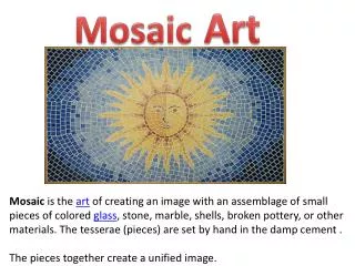
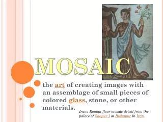
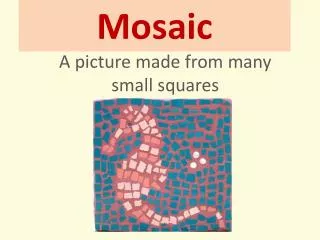
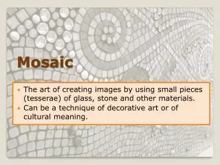
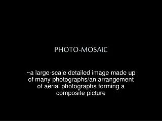
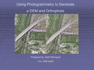
Mosaic (page 93) • An aerial mosaic is an assemblage of two or more individual over lapping photographs to form a single continuous picture of an area . The assembly is made by cutting and piecing to gather part s of photographs , being careful to make common images coincide as closely as possible at the match lines between adjacent photos .
Mosaic advantages • Show relative planimetric qualities , whereas objects on maps which are shown with symbols must be limited in number . • Mosaic of large areas can be prepared in much less time and at considerably lower cost than maps • it is easy to understand and interpreted by people without photogrammetry or engineering back ground .
Uses of mosaic • Mosaic are widely used . Their value is perhaps most appreciated in the field of planning , both in land-use planning and in planning for engineering project . • Use to study geologic features
Orthophoto (page 90-91) • Aerial photographs are not planimetric map, because they have geometric errors ,those error comes from tilt and relief displacement .and when we correct the photos from those problems the result is Orthophoto .
Orthophoto Maps • It show the correct planimetric position and preserve consistent scale throughout the image it valuable because they show the fine detail of an compiled much more quickly and cheaply than the usual topographic maps .
Mosaic-photomap • A photo is central projection while map is orthographic projection • Tilt and distortion in a photo can be eliminated using restitution instruments • A photo that is free from tilt and distortion (relief displacement) is called orthophoto (Planimetrically correct aerial photograph-orthophotoscope) • A series of adjacent photos can be overlapped to produce a mosaic • In the past orthophoto is produced by optical means, currently it is produced by using computer algorithm and image processing software • Names and other information can be added to the mosaic to produce photomap-orthophotmap
الاستفادة من الصور الجوية في الدراسات الجغرافية البشرية
الاستفادة من الصور الجوية في الدراسات الجغرافية البشرية يمكن تدوين مظاهر النشاط البشري من الصور الجوية مثل شكل الأبنية وأنواعها ونماذج الحدائق واستغلال الأرض والمشاريع الصناعية والطرق البرية والسكك الحديدية وتوزيع القرى،وتعتبر الصور الجوية خير وسيلة لإيجاد العلاقة المتبادلة لسطح الأرض الطبيعي وما طرأ عليه من تغيير نتيجة استغلال الإنسان له